
C.ANN
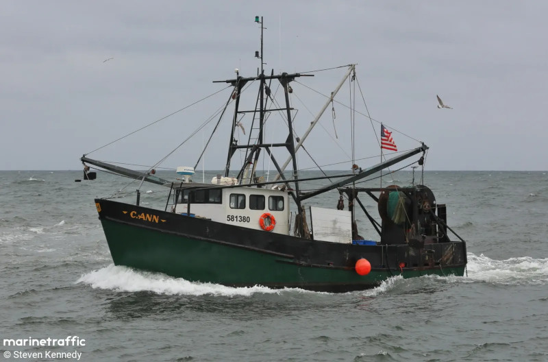
- Type:
- artificial reef, trawler
- Built:
- see below, 1977, previously Margaret Ann II, Capt Seaweed
- Specs:
- ( 62x19 ft )
- Sunk:
- Oct 2025 - Manasquan Artificial Reef
- GPS:
- 40.073167 -73.981057
- Depth:
- 75 ft
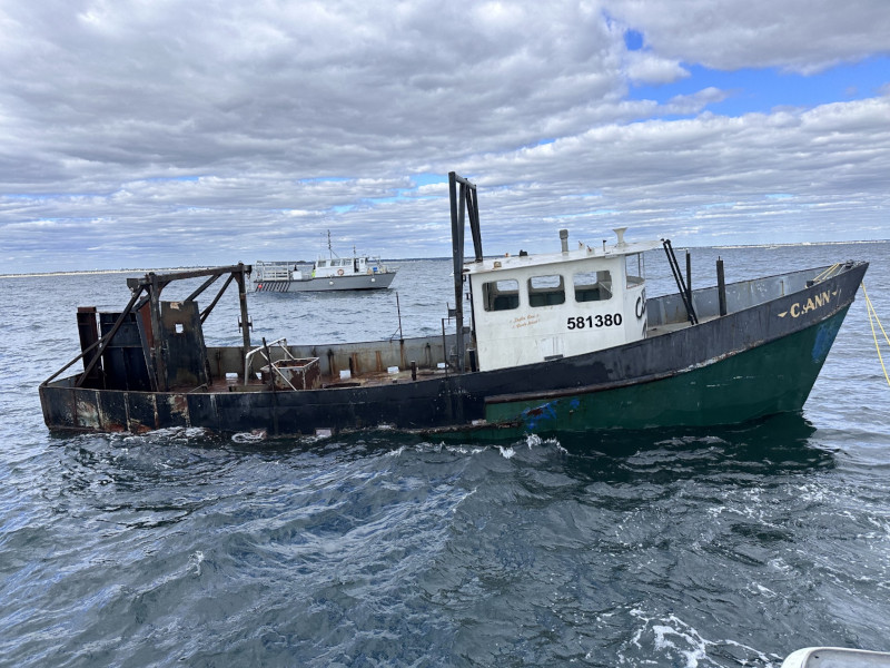
The NJDEP announcement says 55 feet, but other sources give the length as 19m, or 62.3 feet. I am inclined to believe the latter number, as the vessel simply looks bigger than 55 feet, and the reef program has repeatedly demonstrated poor measuring skills.
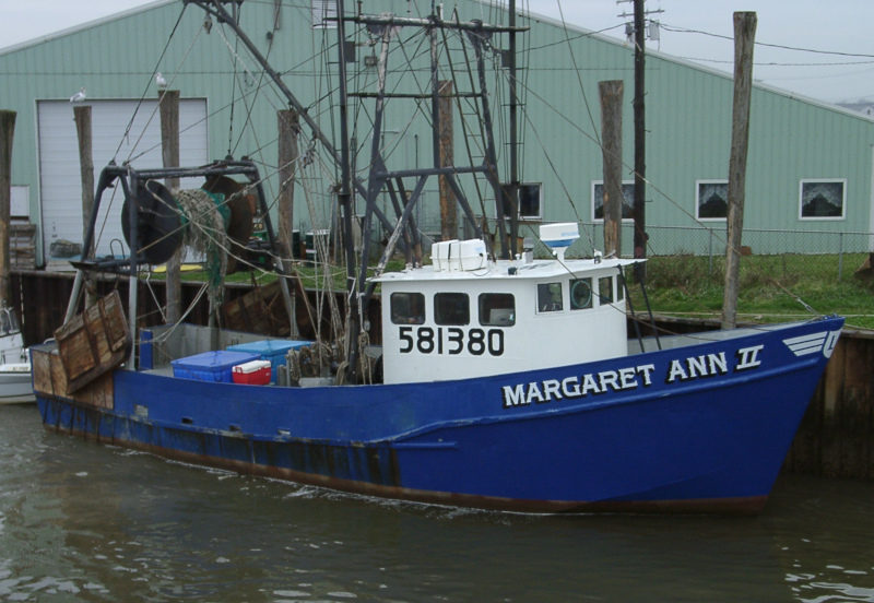
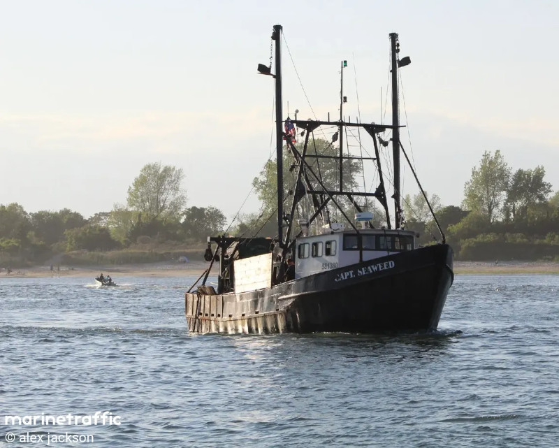
I can find no builder's records for this vessel under any name or number. The closest IMO numbers I can find record of were issued in 1977. Those numbers bracket 581380, so assuming IMO numbers are issued sequentially, that gives an age.
Sponsored by Greater Point Pleasant Charter Boat Association, Bill Cleary of Brielle, NJ and Depth Charge Marine.
Official Number: 581380 (IMO)
MMSI: 368092280
call sign: WDK8247 or WDD5177 ?
Google's AI spouts a bunch of nonsense about this vessel, ignore it. A vessel wears the same unique IMO number from birth to death.
I finally did find a result for the IMO number that says the vessel C.ANN was built in 1977 in Elizabeth NJ. An older record from the Coast Guard lists the vessel as MARGARET ANNE II. Both give the vessel's length as 45 feet, which is clearly wrong, and 39 gross tons. I don't think there was any active shipyard left in Elizabeth by 1977. About all you can say for sure is that the record for this one is very muddled.
Questions or Inquiries?
Just want to say Hello? Sign the .