Delaware Bay Artificial Reef
1.13 sq miles
Depth: 22-27 ft [download]
More: Delaware Bay Artificial Reef ...
Dive Sites - pick your starting point
More: Dive Sites ...
Delaware Bay Artificial Reef
1.13 sq miles
Depth: 22-27 ft [download]
More: Delaware Bay Artificial Reef ...
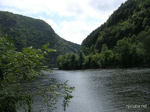
Delaware Artificial Reefs
Delaware has a string of artificial reef sites in the Delaware bay, but they are of little interest to divers. Most of the sites are quite shallow and perilously close to the shipping lanes, several of them were actually reduced for this reason. The conditions in the bay are hardly good for diving. The reefs consist mostly of concrete rubble from construction in Philadelphia and other cities on the river. Also shown is New Jersey's sole artificial reef in the bay.
More: Delaware Bay Reefs ...
DelJerseyLand Inshore Artificial Reef
26 Nautical Miles from Indian River Inlet, 1.51 sq miles
Depth: 120-140 ft [download]
More: DelJerseyLand Artificial Reefs ...
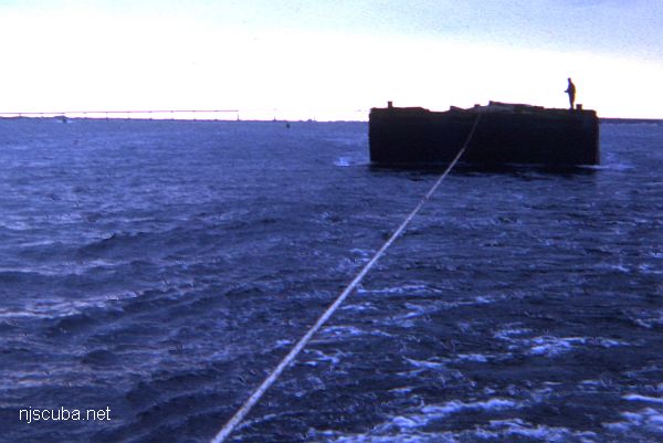
low debris field mostly buried in the sand
More: Dorothy B Barrett ...
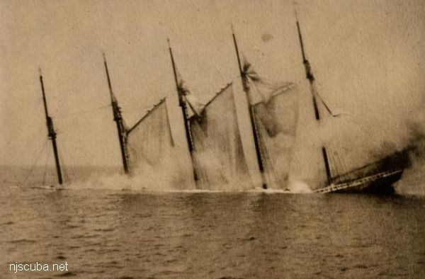
More: Drumelzier ...
This anonymous big rectangular wooden dry-dock barge lies off Asbury Park, out near the edge of the Mud Hole. It is similar to the better-known Immaculata. The hulk of the wreck rises up as much as 10 feet, partially intact, while the upper sides have collapsed into the silty sand. Holes in the main wreckage allow penetration into the dark interior, which is surprisingly barren. A debris field of large rectangular ballast stones, wooden ribs, and rusted machinery extend from the western edge of the wreck, and to a lesser extent all around it. In exceptional late October fifty-foot visibility the view of this wreck from above was impressive, but overall this is not a very pretty site, and it is seldom dived. Good for lobsters, Sea Bass, scallops, and decompression.
More: drydock barge ...
| Name | Description | Sunk | GPS |
| 85 ft | 1965 | 40°38.311' -73°12.435' |
|
| 100 ft | 1965 | 40°38.280' -73°12.496' |
More: barges - Kismet Artificial Reef ...