
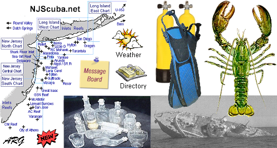

I started this site way back in 1996 for my new hobby. In all that time, I gladly carried the annual cost of hosting and domain name. But it's time to admit that my diving years are over, and my interest has waned.
I have kept the site up as a service to the diving community, but I don't know how much longer that makes sense.
If you would like to make a small donation to help defray that cost, it would be greatly appreciated, and help to keep the site online.
Simply click the PayPal button below or anywhere else you find it:
More: Support NJScuba.net ...
Bill A1563
Session 2026 - 2027
ASSEMBLY, No. 1563
STATE OF NEW JERSEY
222nd LEGISLATURE
PRE-FILED FOR INTRODUCTION IN THE 2026 SESSION
Sponsored by:
Assemblyman SEAN T. KEAN
District 30 (Monmouth and Ocean)
Co-Sponsored by:
Assemblyman Scharfenberger
SYNOPSIS
Requires DEP to establish artificial reef plan for commercial and recreational fishing.
More: NJ Artificial Reef Program ...
This Rustic Ferry is Getting Dismantled in Queens to Become an Artificial Reef
The Prudence Ferry has been abandoned for years, but will get a second life in the waters off Fire Island this summer.
The City, News Partner
Mon, Apr 20, 2026
By Lilly Sabella, The City
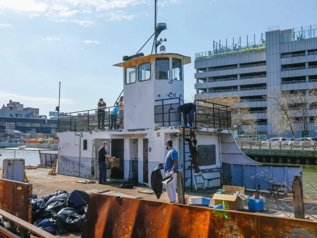
Behind the gate of a waterfront restaurant, a rusted ferry wobbles on the waves of the East River. It’s become a familiar eyesore for residents of Long Island City, Queens since it was first moored to the Anable Basin in 2012 and has floated there since, a forgotten lump of metal - until now. The abandoned ferry, named Prudence, is getting a second life as an artificial reef. Each Saturday morning this spring, residents in masks and safety goggles leap from stable ground onto the ferry to remove any hazardous materials and make it fit for sea creatures to move in.
More: Very Soon Artificial Reef ...
I asked ChatGPT and Gemini to write me stories about New Jersey Artificial Reefs, and here is what they came up with:
More: Finally Catching Up With AI ...
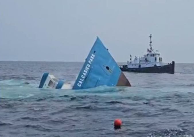
Summer is almost over, and we finally have one new reef - Calcasieu Pass - this one in Delaware. New Jersey and New York have announced nothing so far in 2026. Kudos, Delaware!
This is the trailer for a movie that came out several years ago, but I just found out about it. Old hands will recognize the boat - it is the famous SEEKER. From IMDB:
More: This is a Sad Thing ...
MV John F. Kennedy
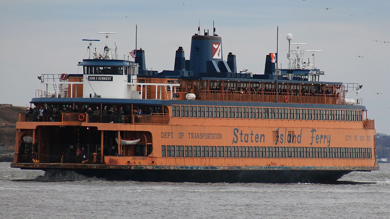
MV John F. Kennedy is the last remaining Kennedy-class ferry, formerly operated for the Staten Island Ferry in New York City, New York, United States. It was built by the Levingston Shipbuilding Company between 1963 and 1965 for the Department of Marine and Aviation. The John F. Kennedy operated until 2021, and she was subsequently sold to Paul Italia, Ron Castellano, Colin Jost, and Pete Davidson. As of 2025, restoration of the John F. Kennedy had not yet started.
More: Another Future Reef ...
I have plotted over 1300 local listings from the AWOIS database here:
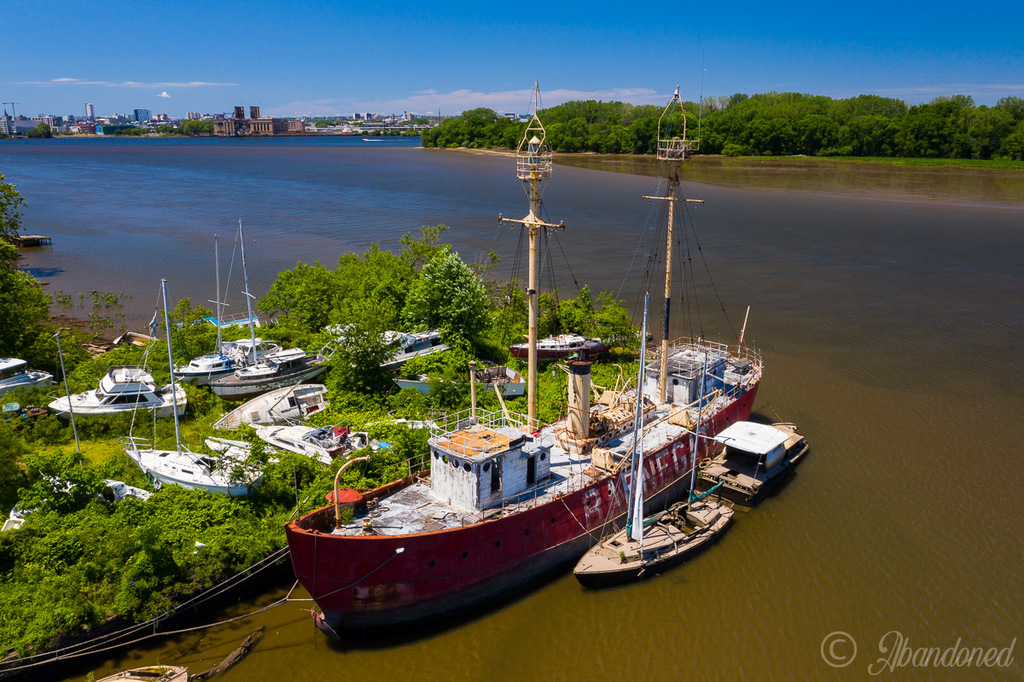
Above is the lightship Barnegat, LV-79, 1904, stuck in the mud at the defunct Pyne Poynt marina in Camden. The site and the vessel were acquired by Camden County in 2023. Soon after, the county announced the intention of restoring the vessel, but since then nothing has been done, and I doubt anything ever will be. The vessel is in pretty bad shape, stripped of anything of worth, and Camden has more pressing needs for its budget dollars.
More: Future Reef ...