Manasquan Artificial Reef
2 miles off Manasquan Inlet, 0.99 sq miles
Depth: 67-74 ft [download]
More: Manasquan Inlet Artificial Reef ...
Dive Sites - pick your starting point
More: Dive Sites ...
Manasquan Artificial Reef
2 miles off Manasquan Inlet, 0.99 sq miles
Depth: 67-74 ft [download]
More: Manasquan Inlet Artificial Reef ...
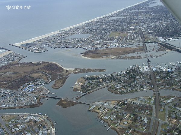
The Manasquan River is overall not as nice a place to dive as the Shark River. The currents are stronger, the water never seems as clean, and the bottom is silty wherever it is not covered with mussels. The inlet jetties can be downright dangerous, and the boat traffic in the channel there is often very heavy. Off the north jetty is the so-called "Manasquan Wreck", but this is a long swim from shore and probably best approached with a boat.
More: Manasquan River ...

More: Manasquan Wreck - Amity ...
The packet ship Manhattan sank with eight of her nine crew. In the same storm, the 200 ft schooner Powhattan was also lost nearby, with over 350 immigrants on board and no survivors. Neither wreck has been positively identified, although there are several candidates, including one old wooden hull buried up to the gunwales in the sand.
More: Manhattan ...
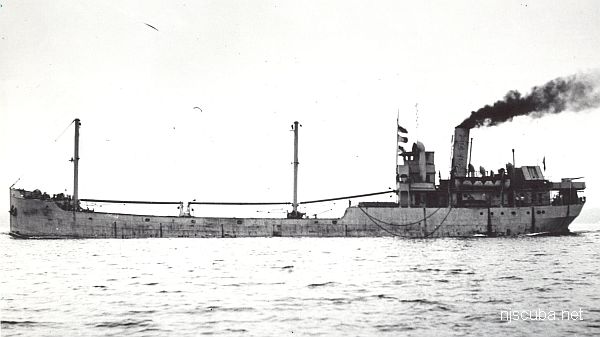
This unknown vessel is listed on the charts as "Margaret" and is speculated to be a tugboat. She may be the remains of the Margaret Olsen, a small steam-driven harbor boat, which collided with the tugboat Joseph A. Ginder on May 4, 1929. Visibility is usually pretty poor, 15 ft or less, and current can be a problem, due to the proximity to Deb's Inlet.
More: Margaret ...
More: Marion ...
Matinecock Artificial Reef
More: Matinecock Artificial Reef ...
Mattituck Artificial Reef
2.37 nautical miles northwest of Mattituck Inlet, 0.08 sq miles
Depth: 72 to 100 feet
More: Mattituck Artificial Reef ...
More: Maurice Tracy ...