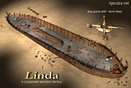
Dive Sites (23/45)
More: Dive Sites ...
4.0 Nautical Miles off Holgate
Depth: 50-60 ft [download]
More: Little Egg Artificial Reef ...
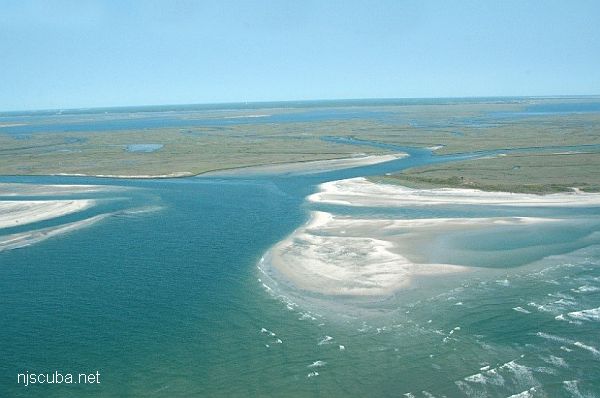
( north branch of little Egg Inlet )
More: Little Egg/Holgate Inlet ...
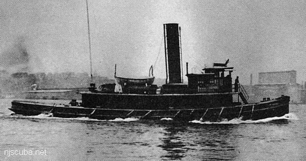
- Type:
- shipwreck, tugboat, USA
- Built:
- 1907, Neafie & Levy, Philadelphia PA USA
- Specs:
- ( 77 x 21 ft ) 122 gross tons, 13 crew
- Sunk:
- Thursday October 19, 1922
unknown, related to smuggling during Prohibition - no survivors - Depth:
- 80 ft
More: Lizzie D ...
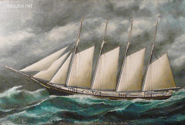
- Type:
- shipwreck, schooner, USA
- Built:
- 1891, Bath ME USA
- Specs:
- ( 201 ft ) 979 tons, 9 crew
- Sunk:
- Sunday March 27, 1914
ran aground in storm - no casualties - Depth:
- 15 ft
More: Lizzie H. Brayton ...
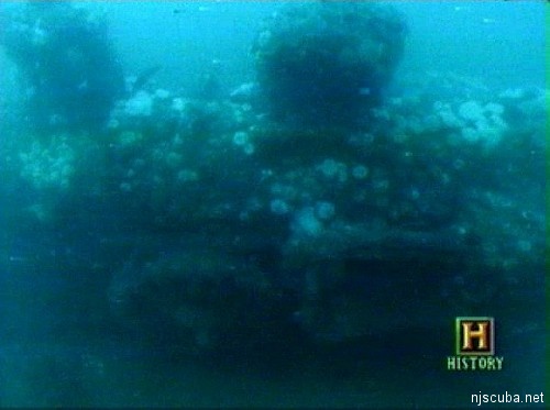
- Type:
- 2 identical small locomotives
- Sunk:
- 1850s ?
- GPS:
- 40.274769° --73.872292° (AWOIS 1991)
- Depth:
- 85 ft
More: Locomotives ...
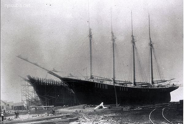
- Type:
- shipwreck, sailing ship
- Built:
- 1906, Cobb, Butler & Co, Rockland, Maine, USA, as John D. Colwell
- Specs:
- ( 192 x 39 ft ) 1,042 gross tons, 14 passengers & crew
- Sunk:
- Wednesday May 12, 1920
collision with tanker Laramie, no casualties - Depth:
- 95 ft
More: Logwood ...
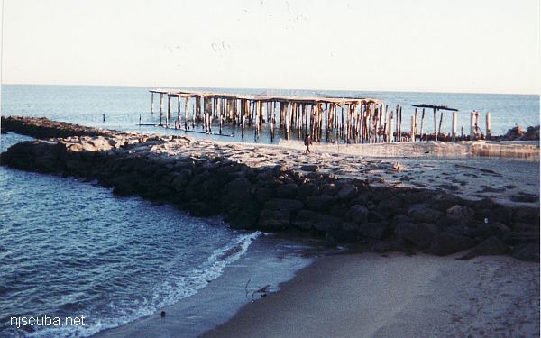
- Type:
- oceanfront pier
- Built:
- 1911
- Depth:
- 15 ft?
More: Long Branch Pier ...
Long Island Sound averages 60 ft in depth, with the greatest depth of over 300 ft at the eastern end. Tidal effects are strongest at the narrow western end, where all the inrushing water flow piles up and makes tidal variations of up to 7 ft. Strong tidal currents are also prevalent, and visibility tends to be poorer than the open ocean, especially at depth.
More: Long Island Sound Dive Sites Chart ...
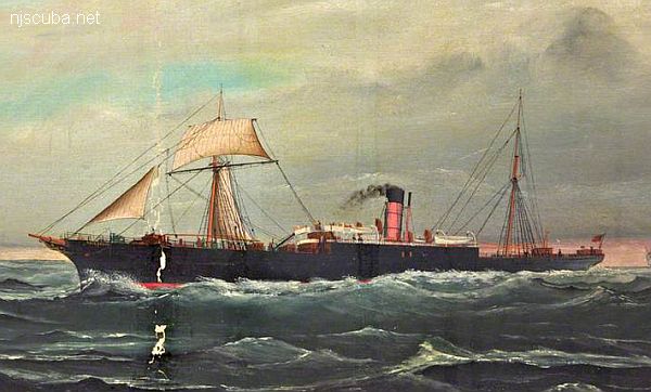
- Type:
- shipwreck, steamer, Germany
( at time of loss chartered to Ward Lines, see Mohawk ) - Name:
- Macedonia is a region in the southern Balkans, adjoining Greece, and formerly part of Yugoslavia.
- Built:
- 1894, England
- Specs:
- ( 280 x 41 ft ) 2268 gross tons, 19 passengers & crew
- Sunk:
- Tuesday June 13, 1899
collision with liner Hamilton ( 3127 tons) - 1 casualty - GPS:
- 40°21.418' -73°56.153' (AWOIS 1991)
- Depth:
- 60 ft
More: Macedonia ...

