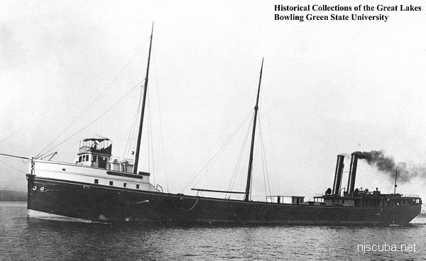
Ramos
- Type:
- shipwreck, schooner barge
- Specs:
- 1208 tons
- Sunk:
- Friday June 30, 1933
- GPS:
- 40°25.505' -73°54.071' (AWOIS 1990)
- Depth:
- 80 ft
Nearby are the remains of several other barges.
from AWOIS: 1592
H10224/86 -- OPR-C121-WH-86; A SUNKEN WRECK WITH THE DIMENSIONS OF THE RAMOS WAS DETECTED THROUGH MAIN SCHEME HYDROGRAPHY AND SIDE SCAN SONAR; 240 FT LONG WOODEN VESSEL LAYING UPRIGHT IN 2 SECTIONS ON A SAND AND SILT BOTTOM; FORWARD SECTION ROSE APPROXIMATELY 20 FT ABOVE THE BOTTOM; STERN SECTION ROSE 4-6 FT ABOVE THE BOTTOM; 6 FT ANCHOR WINDLASS PROTRUDING 3-4 FT ABOVE THE DETERIORATING DECK ON FORWARD PORTION; APPROXIMATE 55 FT BEAM; RISING 18 FT OFF OCEAN FLOOR; BOW MOSTLY INTACT WHILE STERN IS MUCH MORE DETERIORATED; NO EVIDENCE OF PROPULSION MACHINERY WAS FOUND; PNEUMATIC DEPTH GAUGE LEAST DEPTH OF 59 FT TAKEN ON TOP OF ANCHOR WINDLASS NEAR THE BOW. (UPDATED MSD 4/91)


Questions or Inquiries?
Just want to say Hello? Sign the .