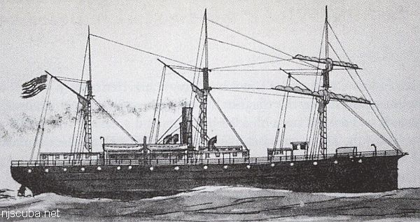
- Type:
- shipwreck, steamer, USA
- Built:
- 1858, Westervelt & Son, New York NY USA
- Specs:
- ( 198 x 29 ft ) 1100 gross tons
- Sunk:
- Sunday January 7, 1877
collision with schooner Seminole - 13 casualties - Depth:
- 150 ft
More: Montgomery ...
Dive Sites - pick your starting point
More: Dive Sites ...
More: Montgomery ...
Moriches Artificial Reef (historical)
2.4 nautical miles south of Moriches Inlet, 0.54 sq miles
Depth: 70 - 75 ft
More: Moriches Artificial Reef ...
Mount Sinai Harbor
Once you get there, suit up at your car and walk down the small stretch of beach till you get near the jetty. Enter the water at your leisure. Once in the water, you can swim north along the jetty to the tip. You may see fish, lobster, crabs and the sort. There are large openings in the rocks that form the jetty. Large enough in fact that you can almost swim into one. I don't advise doing this because getting stuck might be a frightening experience.
More: Mount Sinai Harbor / Jetties ...
Mud Hole
Deep and dark, the Mud Hole is the Hudson River's channel from a time when the oceans were much lower. Today it collects all the silt and sediment that the river carries out to the sea, making it a very fertile fishing ground, frequented by pelagic fishes and sharks. The contour shown on the chart is not any particular depth, but do give an idea of the location.
More: Mud Hole ...
The Mullica River
Chapter 4
reprinted from
Hidden History of Maritime New Jersey
Steve Nagiewicz
New Jersey has commonly been known as the "Crossroads of the American Revolution." So many of the major Revolutionary War battles were fought here at places that jump off the pages of our history textbooks, like the Battles of Monmouth, Princeton, and Trenton and, of course, the iconic Delaware Crossing on Christmas Day by General George Washington in 1776. Washington and his main army, it seems, had spent more time in New Jersey than any other place. Of course, New Jersey's geographic position between New York and Philadelphia was a large part of that "Crossroads" title. Not surprisingly, the ocean provided another type of crossroad - one that was faster, more direct, and with the ability to send large amounts of supplies and troops by sea and along our coastline.
More: Mullica River Wrecks ...
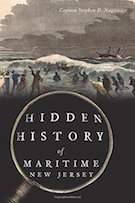
More: Nautilus ...
Probably so-named because it is the next-closest thing to the Pinta at the same depth. So if that wreck turns out to be occupied by another boat, you get a "New Deal". Seldom visited, so should be good for fish and lobsters. A large and relatively intact barge filled with stones. Known by many other names, depending on who you ask.
More: New Deal ...
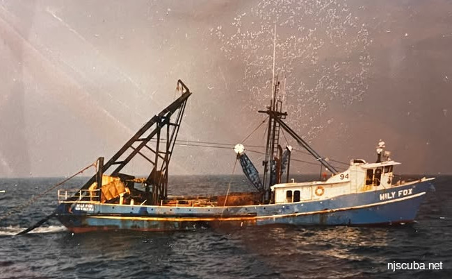
More: Wily Fox ...