
Cape May Dive Sites (3/10)
Cape May Chart
- Absecon Inlet
- USS Akron
- Alex Gibson
- Alexander
- Almirante
- American
- Astra
- Atlantus
- Azua
- Dorothy B Barrett
- Brigantine Beach Wreck
- USS Blenny
- boiler wreck
- Bonito
- Brian C
- Brigantine Inlet
- Brigantine Buoy Wreck
- Charles Morand
- Cape May Inlet
- Cassandra
- Cayru
- Champion
- USS Cherokee
- China Wreck
- City of Athens
- City of Georgetown
- Cleopatra
- Clermont
- Corson’s Inlet
- Crystal Wave
- William B Diggs
- dredge
- Admiral DuPont
- Elizabeth Palmer
- Elizabeth Warren
- Evening Star
- car float
- Florida
- Galimore's Cayru
- Gory Wreck
- Great Egg Inlet
- Gypsum Prince
- Hereford Inlet
- Hornet
- Hvoslef
- Independence Day
- India Arrow
- Indian River Inlet
- USS Jacob Jones
- John Marvin
- China Junk Wreck
- Kennebec
- King Cobra
- Lemuel Burrows
- Lake Frampton
- Lady Mary
- Linda Snow II
- Manhattan
- Marine Electric
- Miraflores
- Misty Blue
- Mohawk
- Montgomery
- USS Moonstone
- EF Moran
- Northern Pacific
- New Orleans
- USS Nina
- Nuphar
- Ocean Quest
- Oklahoma
- Patrice McAllister
- Pet Wreck
- Poseidon
- Ranald
- RJ Walker
- Southern Lillian
- USS S-5
- Salem
- Salem
- San Jose
- Sea Girt
- Sea Wolf
- Shookus
- Sindia
- Slabs
- General Slocum
- Southern Sword
- Townsend's Inlet
- Varanger
- Washingtonian
- Wayne
- Wily Fox
- YP-387
More: Cape May Dive Sites Chart ...
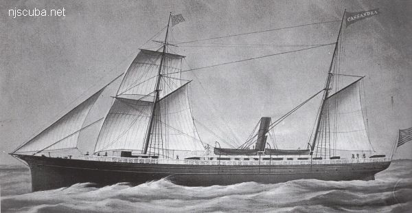
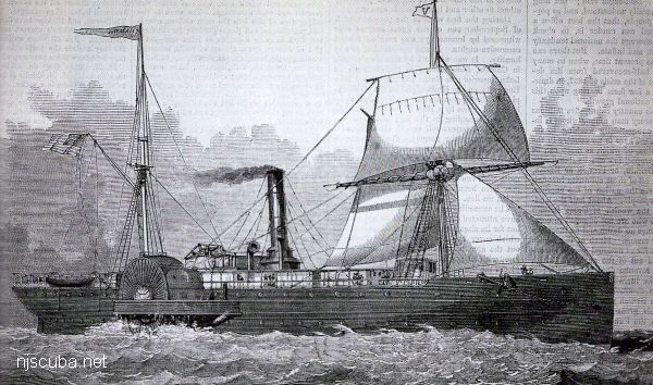
- Type:
- shipwreck, steamer, USA
- Built:
- 1859, Harlan & Hollingsworth, Wilmington DE USA
- Specs:
- ( 234 x 31 ft ) 1419 gross tons, 55 passengers & crew
- Sunk:
- Friday November 7, 1879
collision with sailing ship Lady Octavia - 28 casualties - Depth:
- 105 ft
More: Champion ...
- Type:
- shipwreck, schooner ???
- Depth:
- 30 ft
The "China Junk Wreck" by Townsend inlet rises up to 15 ft. What you can see is a couple of boilers and a debris field. To dive it you must hit the tide just right. On a good day, you can see 15-20 ft. A good tog spearfishing site.
More: China Junk Wreck ...
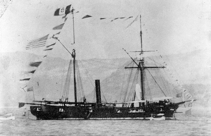
- Type:
- shipwreck, sailing ship
- Specs:
- ( 158 ft )
- Depth:
- 45 ft
The "China Wreck" is the partial remains of a late 19th-century wooden sailing ship, with a cargo of china plates and cups, and miscellaneous articles. This site is believed to be the wreck of the D.H. Bills, a 158'-long wooden-hulled barkentine topsail schooner that sank with a cargo of British-made earthenware during a storm in March 1880.
More: China Wreck ...
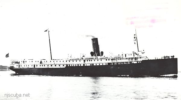
- Type:
- shipwreck, liner, USA
- Built:
- 1911, New York Shipbuilding, Camden NJ USA, as Somerset
- Specs:
- ( 309 x 46 ft ) 3648 gross tons, 135 passengers & crew
- Sunk:
- Wednesday May 1, 1918
collision with French Navy cruiser La Gloire - 67 casualties - Depth:
- 110 ft
More: City of Athens ...
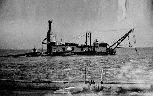
- Type:
- shipwreck, dredge
- Sunk:
- Saturday January 8, 1927
The Clermont was at one time the world's largest dredge. She was sunk in a storm while under tow on January 8, 1927. Today she sits upright on a sandy bottom, partially intact, rising 15' off the bottom. Some of the dredge pipes are visible in the sand off the starboard side of the wreck. Divers have recovered several interesting objects from the wreck such as deck prisms and bricks from the boiler stamped "Weideimer".
More: Clermont ...
Deepwater Artificial Reef
23.6 Nautical Miles off Ocean City, 1.03 sq miles
Depth: 90-125 ft [download]
More: Deepwater Artificial Reef ...
Delaware #9 Artificial Reef
4.5 Nautical Miles from Indian River Inlet, 1.31 sq miles
Depth: 50-60 ft
More: Delaware #09 Artificial Reef ...
Delaware #10 Artificial Reef
5.5 Nautical Miles from Indian River Inlet, 1.31 sq miles
Depth: 55-65 ft
More: Delaware #10 Artificial Reef ...