G.L. 78
- Type:
- shipwreck, barge
- Specs:
- ( 50 ft )
- Sunk:
- Saturday September 11, 1937
- GPS:
- 40°18.834' -73°53.094' (AWOIS 2008)
- Depth:
- 65 ft
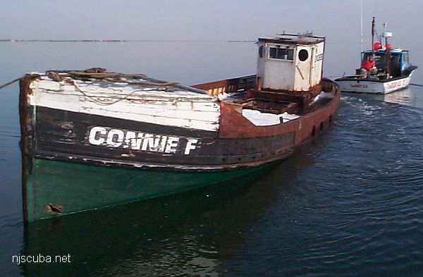
This wreck is often referred to as a trawler, but it is really a self-propelled wooden dump scow of the Great Lakes Dredge & Dock Company.
from AWOIS: 4295
H10224/86 -- OPR-C121-WH-86; MAIN SCHEME HYDROGRAPHY AND SIDE-SCAN SONAR FOUND WRECK; DIVER INVESTIGATION REVEALED A WOODEN-HULLED VESSEL BROKEN INTO TWO SEPARATE SECTIONS, LAYING UPRIGHT ON A SAND AND GRAVEL BOTTOM; TWO SECTIONS SEPARATED BY 20-30 FT OF SCATTERED DEBRIS; EVIDENCE OF INTERNAL MACHINERY AND DRIVE SHAFTS; BEAM ESTIMATED TO BE ABOUT 50 FT; KEEL BLOCK AND INTERNAL FRAMING WERE MOSTLY INTACT; AT THE SOUTHERN END OF WRECK ONLY OCCASIONAL WOODEN RIBS WERE OBSERVED EXTENDING UPWARDS FROM WRECKAGE; NORTHERN SECTION OF THE WRECK WAS COMPOSED OF WOODEN AND METALLIC BEAMS, PIPES AND OTHER DEBRIS; POOR VISIBILITY; PNEUMATIC DEPTH GAUGE LEAST DEPTH OF 52 FT TAKEN ON TOP OF WOODEN POST STICKING 8-10 FT UP FROM BOTTOM; BELIEVED TO BE A MOTOR-DRIVEN BARGE OR SCOW WHICH BROKE APART AND SANK. (UPDATED MSD 4/91)
Questions or Inquiries?
Just want to say Hello? Sign the .