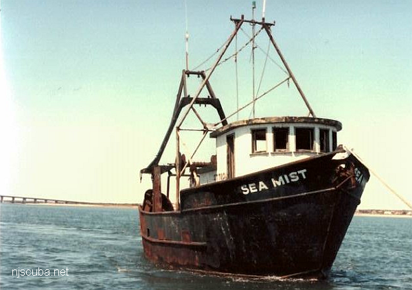
u02 - AWOIS 12966/11422
AWOIS 12966:
H10675/96-97 -- OPR-C399-RU; 200% SIDE-SCAN SONAR LOCATED A LARGE RECTANGULAR, UNCHARTED OBSTRUCTION. DIVERS DESCRIBE A BARGE WITH SURROUNDING SCOUR. BARGE RELIEF IN SCOUR IS 2.4 METERS (8 FEET) BUT NEARLY LEVEL WITH THE BOTTOM. LD OF 8.1 METERS (26 FEET) (ENT 12/23/04, SJV)
AWOIS 11422:
H10675/96-97--OPR-C309-RU; INVESTIGATED USING 200% SIDE-SCAN SONAR, SEABAT YIELDED A LEAST DEPTH OF 26 FEET. SONAGRAMS SHOWED A LARGE RECTANGULAR MANMADE OBSTRUCTION. DIVER INVESTIGATION FOUND A BARGE WITH SURROUNDING SCOUR OF ABOUT 8 FEET. HYDROGRAPHER RECOMMENDS CHARTING THE 26 FOOT SOUNDING AS 26 WK. (ENT 03/02, PSH)


Questions or Inquiries?
Just want to say Hello? Sign the .