New Jersey Artificial Reef Sites (6/17)

 1  5 6 7  17  


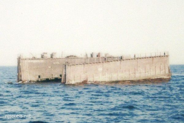
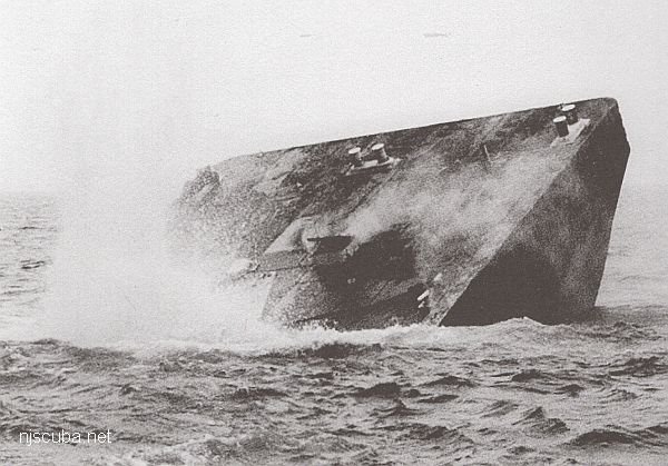
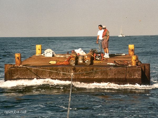
DVD Banana Barge
Type:
artificial reef, barge
Name:
Named for the Delaware Valley Divers club, who sponsored it,
and their peculiar aversion to nature's perfect packaging.
Specs:
( 140 x 40 ft )
Sponsor:
Delaware Valley Divers club & Peter King
Sunk:
Monday September 14, 1998 - Sea Girt Artificial Reef
GPS:
40°06.400' -73°57.080'
Depth:
65 ft

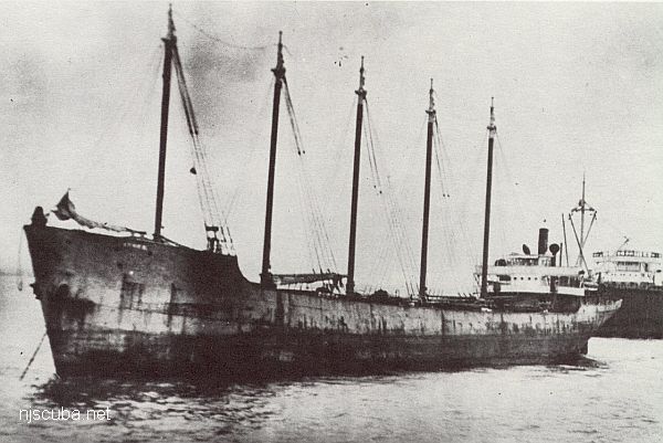
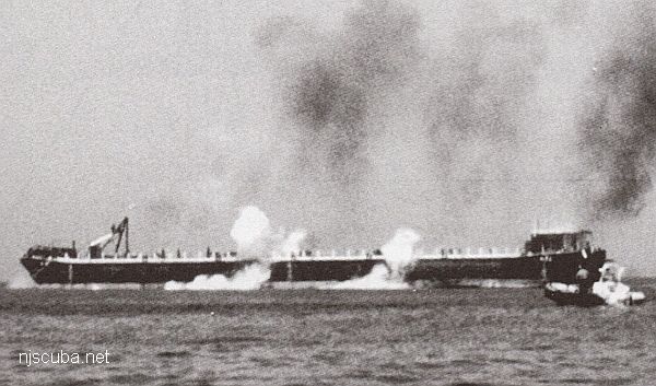
Dykes reef
Type:
artificial reef, schooner barge, USA
( The small smokestack in the pictures is for an electrical generator. )
Built:
1919, Baltimore MD USA
Specs:
( 306 x 35 ft ) 2072 tons, 14 crew
Sponsor:
Modern Transportation Co.
Sunk:
July 1983 - Sea Girt Artificial Reef
GPS:
40°06.964' -73°57.571'
Depth:
65 ft


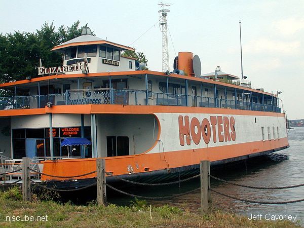
Hooters reef
An undignified end for the sole remaining CRRNJ ferry Elizabeth
Type:
artificial reef, ferry, Central Railroad of New Jersey, USA
Name:
All CRRNJ ferries were named for New Jersey towns - Lakewood, Bound Brook, Red Bank, Plainfield, Elizabeth, Wilkes Barre, Cranford, Somerville, Westfield, and Bound Brook
Built:
1901 Wilmington DE USA, as Lakewood
Specs:
( 200 x 44 ft ) 1016 gross tons
Sponsor:
NJ Coast 2005 Initiative
Sunk:
Wednesday August 3, 2005 - Cape May Artificial Reef
GPS:
38°50.682' -74°43.078'
Depth:
75 ft


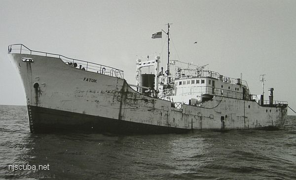
Fatuk reef
Type:
artificial reef, freighter
Built:
1963, Japan
Specs:
( 160 x 25 ft )
Sponsor:
US Customs Service, Fish America, Sportfish Fund
Sunk:
Thursday October 27, 1988 - Garden State North Artificial Reef
GPS:
39°37.609' -74°01.037'
Depth:
80 ft


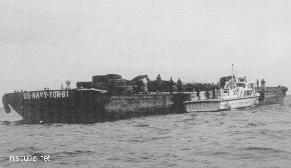
The Fisherman reef
Type:
artificial reef, tanker barge
Specs:
( 242 x 42 ft )
Sponsor:
Spentonbush Red Star Company, Sportfish Fund
Sunk:
Thursday August 7, 1997 - Sea Girt Artificial Reef
GPS:
40°07.930' -73°55.942'
Depth:
70 ft

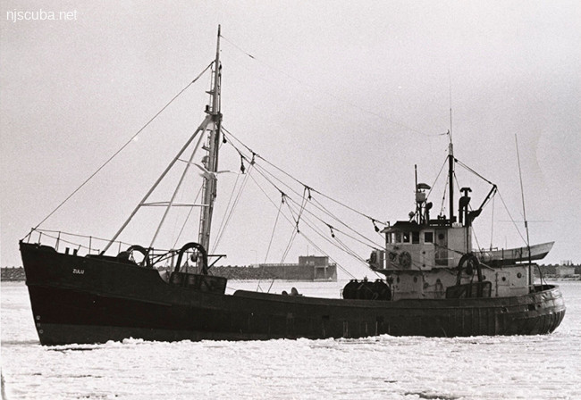
reef Fisherman's Dream
Type:
artificial reef, trawler
Built:
2000 - Gulf Coast Steel, Bayou La Bâtre AL USA as Discover
Specs:
( 80 ft ) 143 gross tons
Sponsor:
Mr. Nam Win, Cape May County Charter and Party Boat Association, Sportfishing Fund
Sunk:
Tuesday May 30, 2017 - Townsends Inlet Artificial Reef
GPS:
39°06.500' -74°36.300'
Depth:
60 ft

New Jersey Artificial Reef Sites

 1  5 6 7  17  

AWOIS 12966:

H10675/96-97 -- OPR-C399-RU; 200% SIDE-SCAN SONAR LOCATED A LARGE RECTANGULAR, UNCHARTED OBSTRUCTION. DIVERS DESCRIBE A BARGE WITH SURROUNDING SCOUR. BARGE RELIEF IN SCOUR IS 2.4 METERS (8 FEET) BUT NEARLY LEVEL WITH THE BOTTOM. LD OF 8.1 METERS (26 FEET) (ENT 12/23/04, SJV)

Printed from njscuba.net