New Jersey Artificial Reef Sites (5/17)

 1  4 5 6  17  


Coleman I reef
Type:
artificial reef, barge
Specs:
( 45 x 20 ft )
Sponsor:
Coleman Construction Company
Sunk:
Tuesday June 27, 1989 - Sandy Hook Artificial Reef
GPS:
40°21.060' -73°56.125'
Depth:
50 ft

Coleman reef
Type:
artificial reef, barge
Specs:
( 60 x 25 ft )
Sponsor:
Coleman Construction Co, Fish America, Artificial Reef Association
Sunk:
Wednesday June 21, 1995 - Garden State North Artificial Reef
GPS:
39°37.296' -74°01.214'
Depth:
80 ft

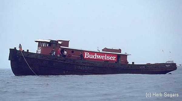
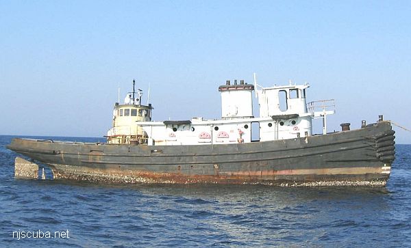
Colleen reef
Type:
artificial reef, tugboat
Built:
1952, New Orleans LA, USA
Specs:
( 92 x 25 ft ) 150 tons
Sponsor:
GPPCBA, Budweiser, GDF
Sunk:
Saturday August 3, 1996 - Axel Carlson Artificial Reef
GPS:
40°02.794' -73°59.350'
Depth:
80 ft

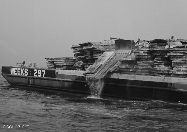
This new feature inside the Manasquan Inlet reef site will be called the Maher Terminals Reef in recognition of the donated material by Maher Terminals, located in Port Elizabeth, NJ. The material consisted of 151 concrete forms, measuring 40 feet x 8 feet x 1.5 feet each. The forms, once used for shipping container inspections, were no longer needed and were slated for demolition and disposal. Center point coordinates are 40° 04.617' N and 073° 59.040' W.


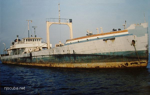
Coney Island reef
Type:
artificial reef, tanker, sludge
Built:
1938, Staten Island NY USA
Specs:
( 250 x 40 ft )
Sponsor:
Crystal Oil Corporation, Marine Trades Assn. of NJ, Fisherman Magazine
Sunk:
Thursday September 10, 1987 - Sea Girt Artificial Reef
GPS:
40°06.285' -73°41.365'
Depth:
125 ft, starts at 80 ft

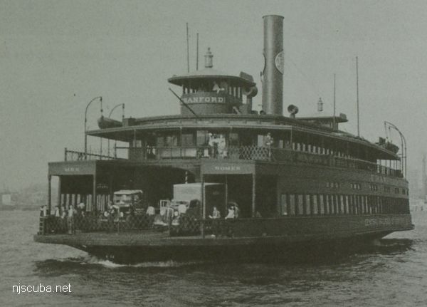
Cranford reef
In life, July 1939. At this time, CRRNJ ferries were painted overall dark green. Notice how it says MEN on one side and WOMEN on the other.
Type:
artificial reef, ferry, Central Railroad of New Jersey, USA
( sometimes incorrectly identified as a barge )
Name:
All CRRNJ ferries were named for New Jersey towns - Lakewood, Bound Brook, Red Bank, Plainfield, Elizabeth, Wilkes Barre, Cranford, Somerville, Westfield, and Bound Brook
Built:
1905, Wilmington DE USA
Specs:
( 191 x 44 ft ) 1197 tons
Sponsor:
Ashley Development Corporation
Sunk:
Tuesday March 30, 1982 - Sea Girt Artificial Reef
GPS:
40°07.447' -73°56.227'
Depth:
70 ft


Dorothy & V.L. Keegan
Type:
artificial reef, tugboat (cut into pieces)
Specs:
( 65 ft )
Sponsor:
Spectra Services
Sunk:
Saturday June 3, 1989 - Sandy Hook Artificial Reef
GPS:
40°21.555' -73°56.103'
Depth:
60 ft

New Jersey Artificial Reef Sites

 1  4 5 6  17  

Printed from njscuba.net