New Jersey Artificial Reef Sites (17/19)

New Jersey Artificial Reefs

 Page 1  16 17 18  19  

Swensen Barge reef
The towboat Heavy Metal is now sunk on the Townsends Inlet Reef.
Type:
artificial reef, barge
Built:
1970
Specs:
( 50 x 16 ft )
Sunk:
Friday June 27, 2003 - Axel Carlson Artificial Reef
GPS:
40°03.585' -73°59.391'
Depth:
80 ft

Swenson barges I & II reefs
Swenson Barge I
Type:
artificial reef, barge
Specs:
( 130 x 30 ft )
Sponsor:
Shore Dock Company Inc.
Sunk:
I - Friday July 25, 1986
II - Wednesday September 16, 1987 - Sea Girt Artificial Reef
GPS:
40°07.305' -73°56.885'


Rhino reef
Type:
artificial reef, crew boat
Specs:
( 50 x 13 ft )
Sponsor:
Caldwell's Diving Company, Absecon Saltwater Fishermen
Sunk:
Friday May 27, 1988 - Garden State South Artificial Reef
GPS:
39°33.693' -74°06.123'
Depth:
65 ft


#9 reef
Type:
artificial reef, tow boat, originally USCG patrol boat
Specs:
( 40 x 12 ft )
Sponsor:
Artificial Reef Association, Jim Lees
Sunk:
Wednesday July 31, 1995 - Barnegat Light Artificial Reef
GPS:
39°45.127' -74°01.297'

Troy reef
Type:
artificial reef, tugboat, USA
Built:
1955, Matton Shipyard, Cohoes NY USA as Matton
Specs:
( 90 x 20 ft )
Sponsor:
Joe Williams, Ocean City Marlin & Tuna Club, Atlantic County Party & Charter Boat Association
Sunk:
Friday April 27, 1990 - Atlantic City Artificial Reef
GPS:
39°15.290' -74°14.060'
Depth:
75 ft

Tuna Sub reef
Type:
artificial reef, barge
Built:
circa 1990, NY USA
Specs:
( 42 x 22 ft )
Sponsor:
Forked River Tuna Club
Sunk:
Tuesday May 21, 2002 - Barnegat Light Artificial Reef
GPS:
39°45.973' -74°01.459'

USS Algol reef
The Algol just prior to sinking, November 1991.
Type:
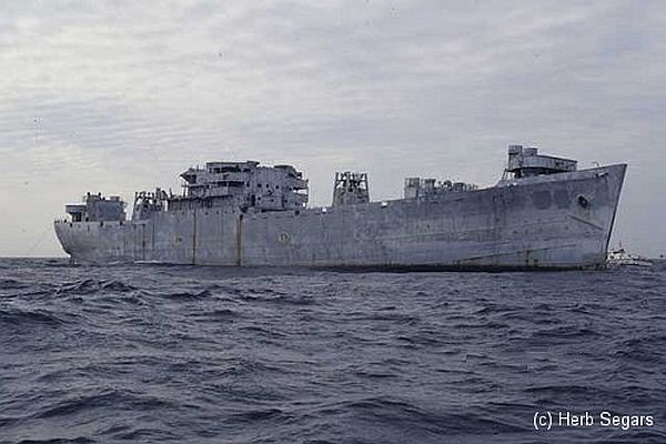
artificial reef, Andromeda class attack transport ( freighter ), U.S. Navy, also known as a "Victory Ship", although often incorrectly referred to as a Liberty Ship
Name:
One of a series of Navy transports named for stars;
Algol is a star in the constellation Perseus, also known as the Demon star.
Built:
1943, Moore Drydock, Oakland CA USA, as James Barnes
Specs:
( 459 x 63 ft ) 13910 displacement tons, 429 crew *
* this figure almost certainly includes embarked Marines
Sponsor:
Federal Aid in Sportfish Restoration
Sunk:
Thursday November 22, 1991 - Sea Girt Artificial Reef
GPS:
40°06.545' -73°41.450'
Depth:
145 ft +, starts at 70 ft, main deck at 110 ft


from AWOIS: 1607

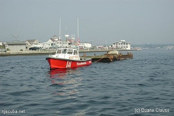
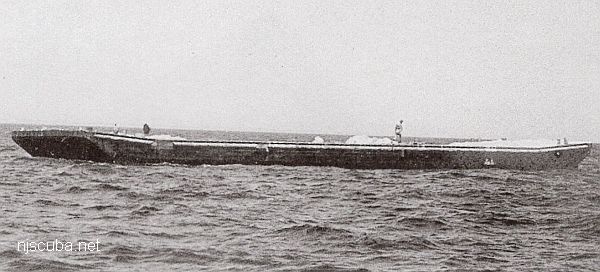
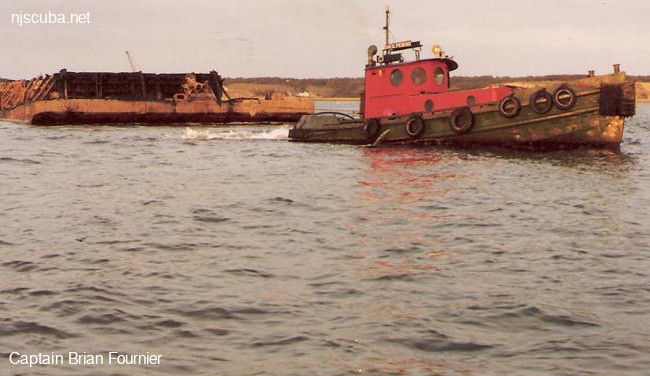
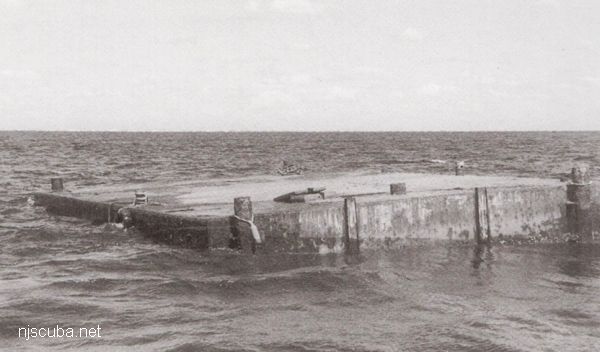
NM47/66 -- DANGEROUS WRECK OF DREDGE DRYLAND, 62 FT. LONG. 22 FT. WIDE REPORTED SUNK IN ABOUT 90 FT. COVERED ABOUT 55 FT.

CL1540/78 -- MAR, OPR-C622-RU/HE-78; ITEM 4; INVESTIGATION BEGAN 30 AUGUST AND WAS COMPLETED ON 18 SEPTEMBER. EFFECTIVELY CLEARED TO MIN. OF 45.5 FT., (38.5 FT. ON A 40 FT. SHOAL), WITH NO HANGS ENCOUNTERED.

FE221/78-79 -- OPR-C622-RU/HE; ITEM 4; REQUIRED CLEARANCE TO 45 FT. DUE TO POSSIBLE HAZARDS ON THE BOTTOM. 1 MILE, RADIUS CIRCLE DRAGGED TO 45 FT. EXCEPT TO 38 FT. ON 40 FT. SHOAL (SEE AWOIS NO.00752) NW OF AMBROSE LIGHT TOWER. NO HANGS ENCOUNTERED. RECOMMENDED THAT CLEARED AREA BE CHARTED WITH GREEN TINT WITH 45 FT. CLEARANCE NOTE WHERE APPROPRIATE.

H10224/86-87 -- OPR-C121-WH-86-87; WRECK FOUND DURING MAIN SCHEME HYDROGRAPHY AND SIDE-SCAN SONAR OPERATION 850M EAST OF REPORTED POSITION; SIX DIVES PERFORMED; 2-15 FT VISIBILITY; PNEUMATIC DEPTH GAUGE LEAST DEPTH OF 86 FT TAKEN ON TOP OF A 20 FT LONG DREDGE PIPE FLOAT FOUND 841.6M EAST OF AWOIS POSITION; WRECK SITE REVEALED PIPES, FLOATS, AND DREDGING EQUIPMENT. (UPDATED MSD 4/91)