Artificial Reef Sites (23/27)

Artificial Reefs

 1  22 23 24  27  

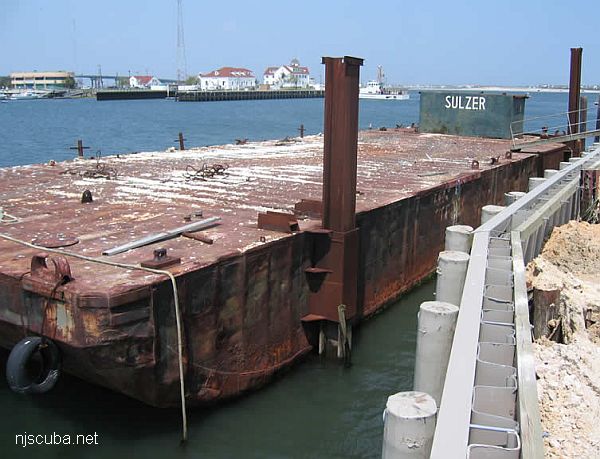
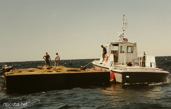
Butterick reef
Type:
artificial reef, barge
Built:
1989
Specs:
( 62 x 22 ft )
Sponsor:
Berman family, United Jewish Community Fund of Harrisburg
Sunk:
Friday Sept 13, 2002 - Little Egg Artificial Reef
GPS:
39°28.560' -74°11.300'


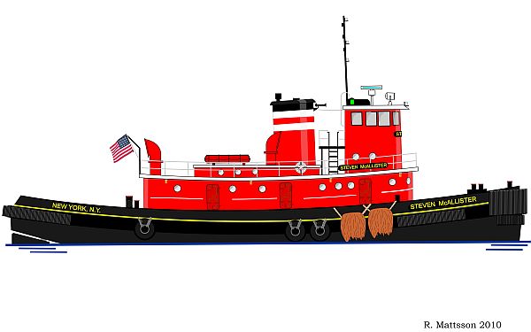
Starcraft reef
Type:
artificial reef, barge
Built:
1936, Port Richmond, NY USA
Specs:
( 150 x 40 ft ) 684 GT
Sponsor:
Eklof Marine, Ocean Wreck Divers club, Artificial Reef Association, Village Harbor Fishing Club
Sunk:
Wednesday May 11, 1994 - Garden State South Artificial Reef
GPS:
39°33.528' -74°06.309'


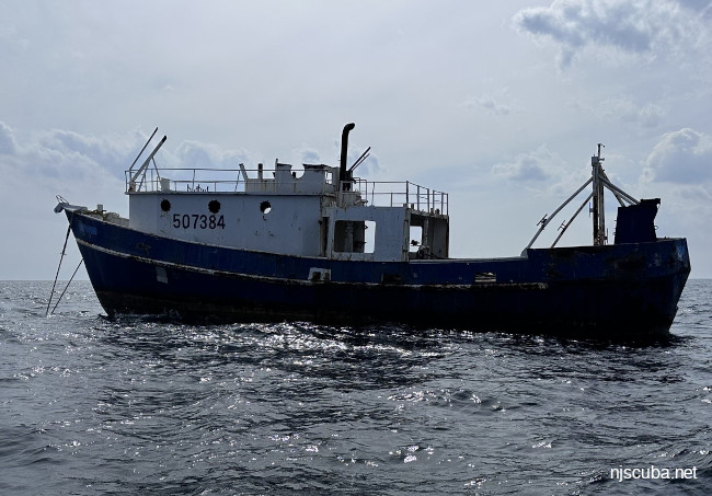
Type:
artificial reef, barge (3)
Specs:
( unknown )
Sunk:
Thursday May 16, 2019 - Townsends Inlet Artificial Reef
GPS:
39°06.446' -74°36.429'
39°06.479' -74°36.316'
39°06.452' -74°36.455'

There was never any public notice of these sinkings, although they appeared later in lists.


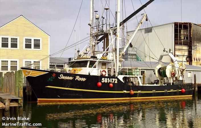
Type:
artificial reef, trawler
Built:
1977, Steiner Shipyard, Bayou La Batre AL as Margaret Rose
Specs:
( 77 ft ) 142 gross tons
Sunk:
Thursday Feb 13, 2025 - Manasquan Artificial Reef
GPS:
NJDEP Private Fishing Hole
Depth:
75 ft

The Susan Rose is a secret reef, sunk with no public notice or announcement. It will no doubt be used for another "period of successional development and monitoring" like the Carrabassett since 2024 and the New England Coast since 2023. Here is the NJDEP contact form if you would like to inquire about the progress of these studies:


Artificial Reef Sites

 1  22 23 24  27  

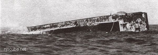
FE312SS/88 -- OPR-C121-WH-88; WHILE SEARCHING FOR AWOIS ITEM 1634, TWO SIDE-SCAN SONAR CONTACTS WERE LOCATED AND IDENTIFIED AS WRECKAGE (ALSO REFERENCE ITEM 7508); AN OBSTRUCTION (SSS CONTACT NO. 379.6S) WAS FOUND; DIVER LEAST DEPTH OF 36 FT. IN PRESENT SURVEY DEPTHS OF 38 FT.; REMAINS OF A PORTION OF A KEEL OF A METAL HULLED VESSEL; VESSEL WAS LYING INVERTED WITH THE KEEL EXPOSED; PORTION OF MIDSECTION OF VESSEL WAS VISIBLE; ENTIRE STRUCTURE WAS COATED WITH ANTI-FOULING PAINT; 45 FT. WIDE AT THE BEAM, 37 FT. AT THE NORTHERN END AND 18 FT. LONG; SOUTHERN END OF SITE WAS BENT AND TWISTED; HULL STOOD APPROXIMATELY 3 FT. OFF THE BOTTOM AT THE NORTHERN END, AND A SAND SCOUR AT THE SOUTHERN END EXPOSED APPROXIMATELY 6-8 FT. OF THE WRECK (3-4 FT. BELOW THE SURROUNDING BOTTOM). (ENTERED MSM 10/89)