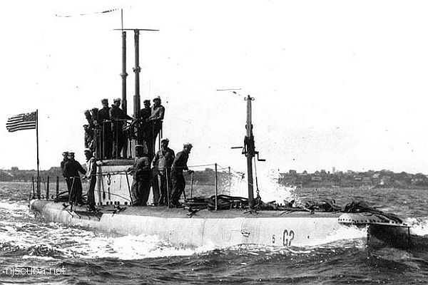
Kismet Artificial Reef
Kismet Artificial Reef
120 yards north of South Beach, 0.01 sq miles
Between Kismet and National Seashore dock
This reef is very close to land, it could even be a shore dive
Depth: 16 - 25 ft
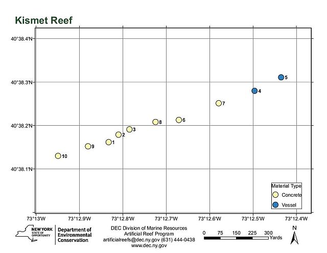
Details:
Named for the nearby hamlet of Kismet on Fire Island. I didn't know that, anyway.
Reef site coordinates differ from NOAA Navigational Charts.
Not Shown:
- 1,000 tire units

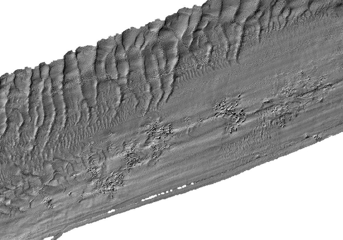

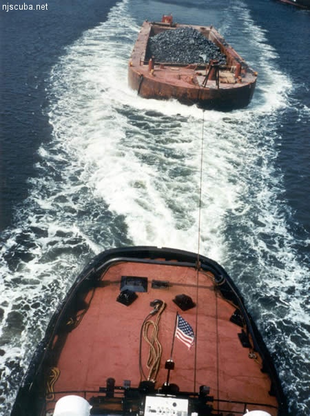
All manner of concrete, steel, and stone rubble from dredging, demolition projects, and other construction is used as artificial reef materials. This material is generally available at very low cost or free from construction companies who are more than happy to get rid of it. Transportation costs determine where this material is used by the Reef Program.
More: Rock & Rubble ...
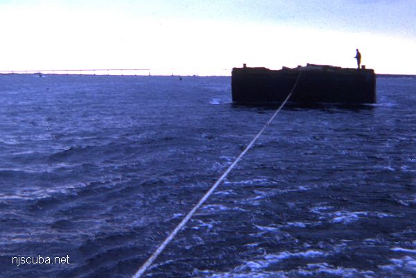
- Type:
- artificial reef, barges
- Depth:
- 16 - 25 ft
| Name | Description | Sunk | GPS |
| 85 ft | 1965 | 40°38.311' -73°12.435' |
|
| 100 ft | 1965 | 40°38.280' -73°12.496' |
More: barges - Kismet Artificial Reef ...