
Ocean City Artificial Reef
Ocean City Artificial Reef
4.5 Nautical Miles off Ocean City, 1.35 sq miles
Depth: 55-70 ft [download]
This reef is composed largely of Army tanks and tire units, with some rock and rubble, and three old boat molds. (not shown) Also not shown on the chart is the SS Minnow, a small 30' commercial fishing vessel. The ferro-cement hull has probably broken up and sunk into the sand, as recent efforts to locate it have not been successful.
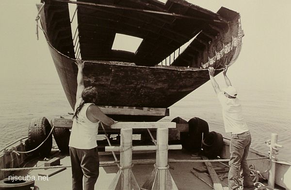
- Type:
- artificial reef, barge, canal ( cut in two )
- Specs:
- ( 32 x 13 ft each piece )
- Sponsor:
- Ocean City Marlin & Tuna Club, Cape May County Party & Charter Boat Association
- Sunk:
- Wednesday/Thursday June 22/23, 1997 - Ocean City Artificial Reef
- GPS:
- Kathy: 39°10.719' -74°33.259'
- GPS:
- Maria: 39°10.814' -74°33.044'
More: Kathy & Maria ...
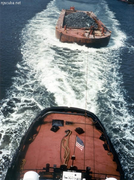
All manner of concrete, steel, and stone rubble from dredging, demolition projects, and other construction is used as artificial reef materials. This material is generally available at very low cost or free from construction companies who are more than happy to get rid of it. Transportation costs determine where this material is used by the Reef Program.
More: Rock & Rubble ...
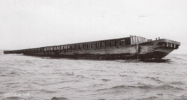
- Type:
- artificial reef, barge, gravel
- Specs:
- ( 195 ft )
- Sponsor:
- Hay's Tug & Launch
- Sunk:
- Thursday June 12, 1997 - Ocean City Artificial Reef
- GPS:
- 39°10.801' -74°32.741'
More: Libra ...
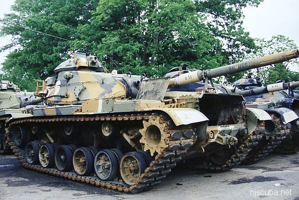
The Artificial Reef Program used four types of obsolete Army armored vehicles as artificial reef materials off the New Jersey coast. These were cleaned at local military bases, loaded onto barges for transport, and pushed off at their final destination. Once the Army had disposed of its excess inventory, the program ceased, around 1999. The Artificial Reef Program has sunk almost 400 tanks altogether, far too many to list them here in this website.
More: Army Tanks ...
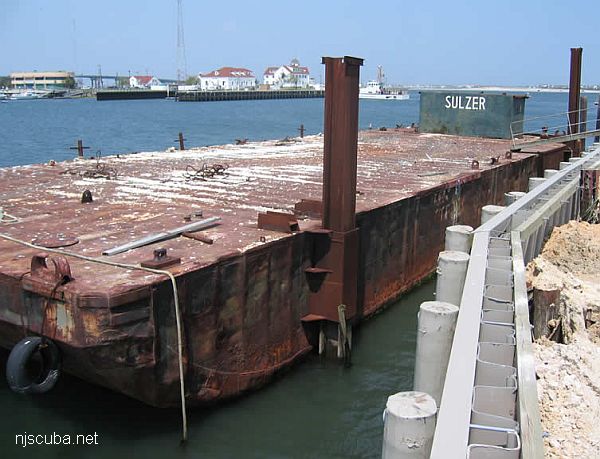
- Type:
- artificial reef, barge
- Specs:
- ( 100 ft )
- Sunk:
- Friday May 25, 2007 - Ocean City Artificial Reef
- GPS:
- 39°10.032' -74°34.008'
More: Sulzer barge ...
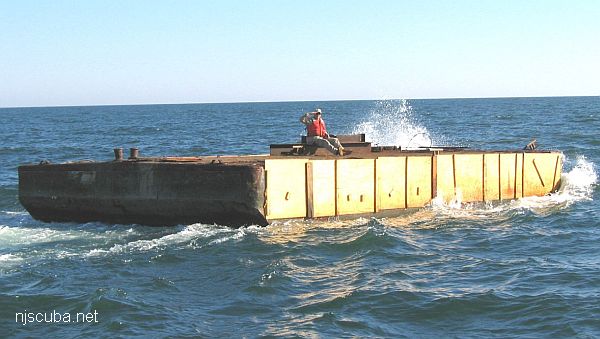
- Type:
- artificial reef, barge
- Specs:
- ( 48 ft )
- Sponsor:
- Shamrock Marine Towing
- Sunk:
- Monday September 12 2005 - Ocean City Artificial Reef
- GPS:
- 39°09.935' -74°33.940'
More: Shamrock ...
Questions or Inquiries?
Just want to say Hello? Sign the .