- Type:
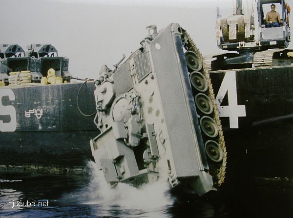
- various types of Army tanks and other vehicles, 15 in all
- Sponsor:
- Friends of Clifford Lipke, NJ National Guard
- Sunk:
- 1998 - Sea Girt Artificial Reef
- GPS:
- 40°07.608' -73°56.650'
More: Tanks / Clifford Lipke Reef ...
More: Tanks / Clifford Lipke Reef ...
More: TD-21 DPC-21 ...
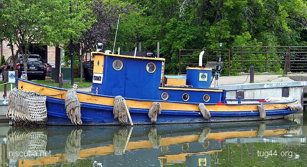
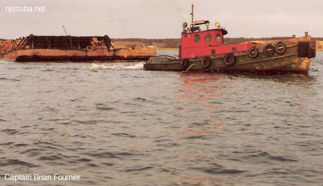
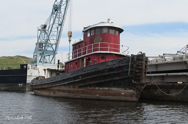
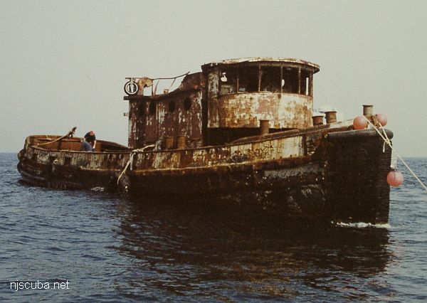
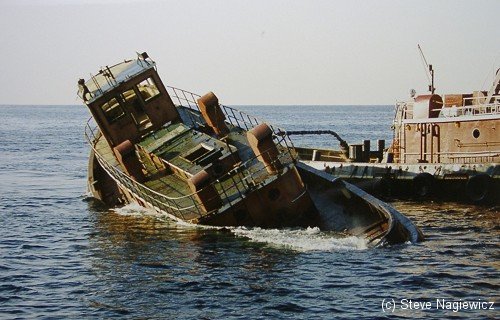
More: Canal Tender 6 ...
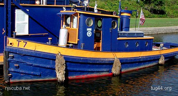
More: Canal Tenders 7 & 8 ...
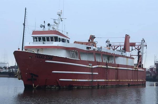
The Texas Star was built in 1977 on a multi-purpose supply ship hull, probably to service offshore oil platforms. The vessel was refitted as a floating casino in 1986, originally named Millionaire’s Casino, out of Savannah Georgia, but later moved to Texas and renamed Texas Star Casino. "The 12,000 square-foot vessel featured games such as craps, blackjack, roulette, poker and slot machines, with a bingo parlor situated on the nearby dock."
More: Texas Star ...

More: The Rhino ...
More: Tibor ...
More: Tobacco Pointe ...
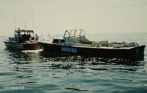
More: Towboat #9 ...
More: Troy ...
New Jersey's Reef Program is administered by the Department of Environmental Protection's Division of Fish and Wildlife. The objectives of the program are to construct hard-substrate "reef" habitat in the ocean for certain species of fish and shellfish, new fishing grounds for anglers, and underwater structures for scuba divers.
More: Artificial Reefs Overview ...