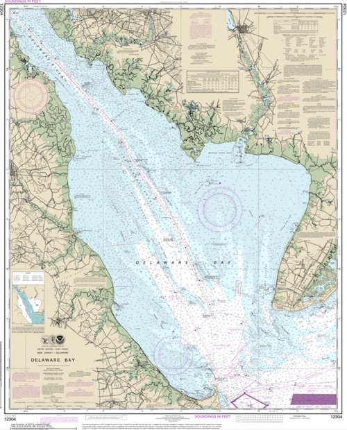
Delaware Bay

Delaware Bay

I doubt this is a good place to dive. Even without the river pollution, the bottom is muddy and the water is full of silt. If anyone knows anything different, let me know.

NOAA chart 12304
Chart 12304

Comments on Delaware Bay

Questions or Inquiries?

Just want to say Hello? Sign the .

Submit a Comment

Your email address will not be published. Required fields are marked *


Click image to replace if unable to read.

Enter the digits from the image above, except for the last one:

This site uses Akismet to reduce spam. Learn how your comment data is processed.


The "Ocean Prince" drydock (above) was sunk in 1986 and is well-attested. New York has photos of a clearly different drydock which they place here, but I believe is actually at Shinnecock, and I have placed it there.

Type:
artificial reef, barges
Depth:
62 - 73 ft
Name Description Sunk GPS
110 ft steel Thursday
Sept 9, 1999
40°35.973'
-73°13.242'
Air Force
Scow
110 ft steel Sunday
Oct 14, 2018
40°35.914'
-73°11.986'
Dump Scow
DS-24
100 ft steel Sunday
Oct 14, 2018
40°35.838'
-73°12.015'
Irvington 60 ft steel 2024 40°35.949'
-73°12.308'
Piano Scow 30 ft steel Sunday
Oct 14, 2018
40°35.872'
-73°12.022'
"Ocean Prince"
Drydock #4
200 ft steel
drydock
Saturday
Nov 29, 1986
40°35.704'
-73°11.968'