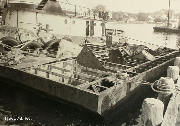
- Type:
- artificial reef, barge
- Specs:
- ( 45 x 20 ft )
- Sponsor:
- Coleman Construction Company
- Sunk:
- Tuesday June 27, 1989 - Sandy Hook Artificial Reef
- GPS:
- 40°21.060' -73°56.125'
- Depth:
- 50 ft
More: Coleman I ...
Sandy Hook Artificial Reef
1.6 nautical miles off Sea Bright, 1.76 sq miles
Depth: 40-60 ft [download]
More: Sandy Hook Artificial Reef ...
More: Coleman I ...
More: Dorothy ...
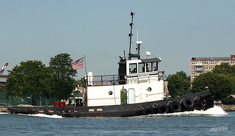
More: Huntress ...
More: Lockwood ...
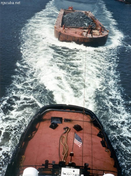
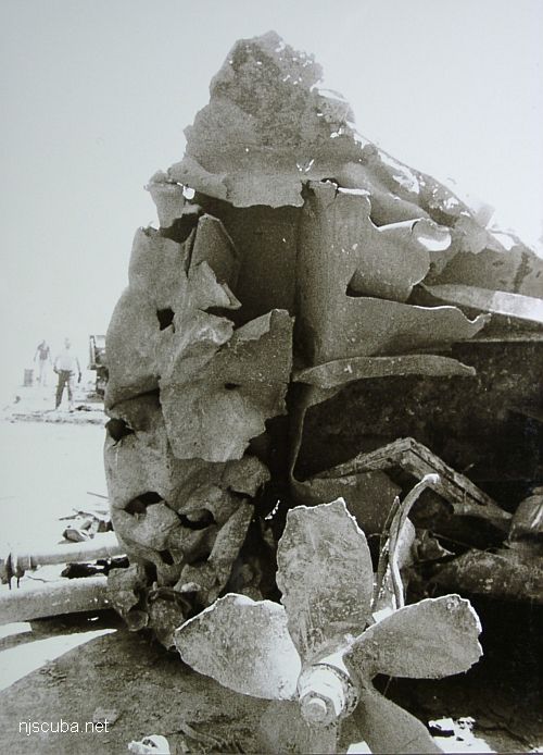
All manner of concrete, steel, and stone rubble from dredging, demolition projects, and other construction is used as artificial reef materials. This material is generally available at very low cost or free from construction companies who are more than happy to get rid of it. Transportation costs determine where this material is used by the Reef Program.
More: Rock & Rubble ...
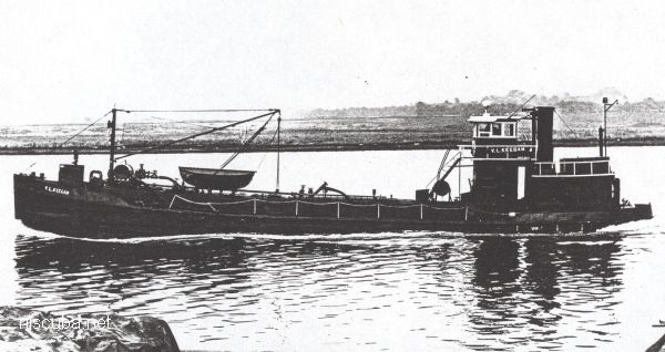
More: V.L. Keegan YO-166 ...
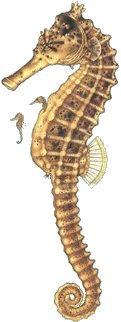
Hippocampus erectus
Size: to 6"
Habitat: Weedy protected shore waters.
Notes:
Look for Seahorses in still weedy areas, where they cling to plants and objects with their prehensile tails. Color and body form are highly variable, as these masters of camouflage adapt to their surroundings. Strays may be found at sea, or even washed up on the beach.
More: Lined Seahorse ...