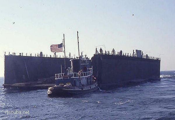
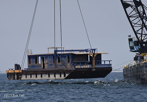
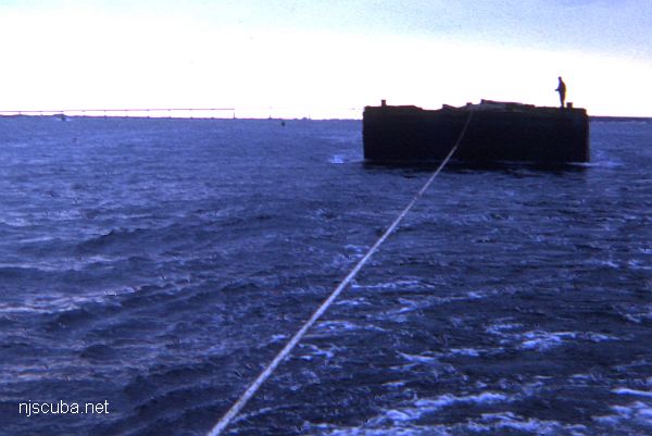
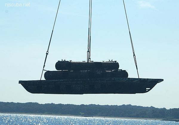
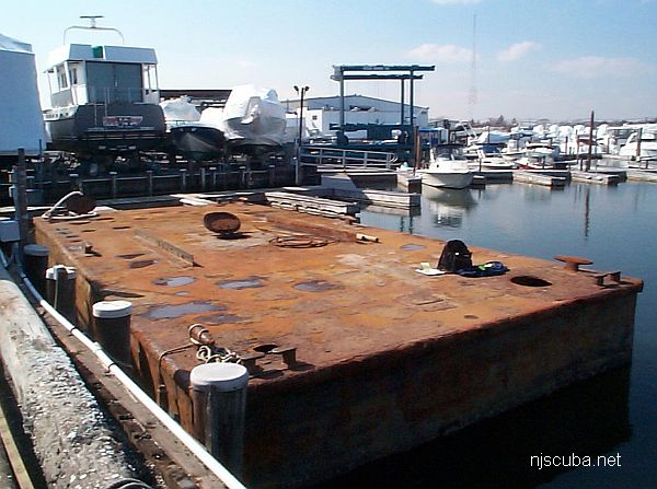
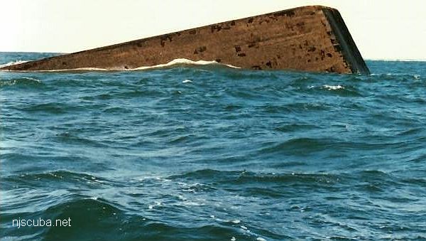
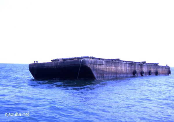
Artificial Reef Sites (3/26)

Susan Rose Sunk in February

The Susan Rose was re-sunk as an artificial reef in February. At present there still has been no public announcement. Here is the NJDEP contact form if you would like to inquire:

If you would like to visit this or any other of New Jersey's new unpublished reefs, contact New Jersey Artificial Reef Coordinator Peter Clarke at Mad Hatter Charters in Neptune City.

Artificial Reefs

The pink and white areas are shipping lanes. 'Natural' shipwrecks are depicted with a wreck symbol.

 1  2 3 4  26  

The "Ocean Prince" drydock (above) was sunk in 1986 and is well-attested. New York has photos of a clearly different drydock which they place here, but I believe is actually at Shinnecock, and I have placed it there.

Type:
artificial reef, barges
Depth:
62 - 73 ft
Name Description Sunk GPS
110 ft steel Thursday
Sept 9, 1999
40°35.973'
-73°13.242'
Air Force
Scow
110 ft steel Sunday
Oct 14, 2018
40°35.914'
-73°11.986'
Dump Scow
DS-24
100 ft steel Sunday
Oct 14, 2018
40°35.838'
-73°12.015'
Irvington 60 ft steel 2024 40°35.949'
-73°12.308'
Piano Scow 30 ft steel Sunday
Oct 14, 2018
40°35.872'
-73°12.022'
"Ocean Prince"
Drydock #4
200 ft steel
drydock
Saturday
Nov 29, 1986
40°35.704'
-73°11.968'

DB-1
Type:
artificial reef, barges
Depth:
50 - 72 ft
Name Description Sunk GPS
115 ft steel 40°31.145'
-73°31.736'
100 ft wood
drydock
1990 40°31.504'
-73°31.914'
Navy 110 ft steel 1993 40°31.077'
-73°31.476'
40 ft steel
dredge
Wednesday
Oct 4, 2000
40°31.010'
-73°32.501'
40 ft steel
dredge
Wednesday
Oct 4, 2000
40°31.010'
-73°32.501'
DB-1 75 ft steel
derrick
Friday
Aug 10, 2018
40°30.971'
-73°32.971'

100 ft barge
Type:
artificial reef, barges
Depth:
16 - 25 ft
Name Description Sunk GPS
85 ft 1965 40°38.311'
-73°12.435'
100 ft 1965 40°38.280'
-73°12.496'

New York has a very successful 'flying barge' program
Type:
artificial reef, barges
Depth:
30 - 40 ft
Name Description Sunk GPS
46 ft steel Thursday
Aug 22, 2019
40°54.604'
-73°37.477'
40 ft steel Thursday
July 25, 2024
40°54.613'
-73°37.394'

37 ft crane barge
Type:
artificial reef, barges
Depth:
50- 53 ft
Name Description Sunk GPS
60 ft steel Tuesday (?)
Sept 28, 1999
40°32.120′
-73°39.605′
40 ft steel
dredge
Thursday
Sept 28, 2000
40°32.048′
-73°39.326′
40 ft steel
dredge
Thursday
Sept 28, 2000
40°32.015′
-73°39.295′
37 ft steel
crane
2003 40°32.162'
-73°39.481'

190 ft barge
Type:
artificial reef, barges
Depth:
70 - 75 ft
Name Description Sunk GPS
Jean
Elizabeth
190 ft steel 1995 40°43.500'
-72°46.482'
60 ft steel 1995
40°43.558'
-72°46.340'
#335 80 ft steel Friday
Nov 12, 1999
40°43.514'
-72°46.309'
CFD 100 ft steel Thursday
Feb 8, 2001
40°43.476'
-72°46.343'
"Pump Boat" 25 ft steel Sunday
Oct 14, 2018
40°43.464'
-72°46.601'
Self-Propelled
Scow #56
50 ft steel Sunday
Oct 14, 2018
40°43.453'
-72°46.612'


Many holes cut in sides.
It must cost a fortune to rent this giant derrick.
Type:
artificial reef, barges
Depth:
32 - 40 ft
Name Description Sunk GPS
Dump Scow
DS-109
100 ft steel Tuesday
Oct 9, 2018
40°32.614'
-73°50.098'

100 ft steel barge ( on a much bigger barge )
Type:
artificial reef, barges
Depth:
79 - 84 ft
Name Description Sunk GPS
60 ft steel
dredge
1987 40°48.063'
-72°28.622
Caddell 157 ft wood
drydock
Wednesday
September 12, 1990
40°48.007'
-72°28.634'
Dump Scow
DS-106
100 ft steel Wednesday
June 20, 2018
40°48.179'
-72°28.461'
Shannon C 60 ft steel Friday
Nov 5, 2021
40°48.118'
-72°28.390'

the big one goes down
Type:
artificial reef, barges
Depth:
38 - 40 ft
Name Description Sunk GPS
190’ wood 1979 40°55.977'
-73°10.921'
350’ steel 1981 40°55.943'
-73°10.955'
270’ wood 1982 40°55.876'
-73°11.111'
340’ steel 1984 40°55.991'
-73°10.950'
80’ wood 1984 40°55.972'
-73°10.872'
80’ steel (226) 2021 40°55.970'
-73°11.048'

Artificial Reef Sites

 1  2 3 4  26  

Printed from njscuba.net