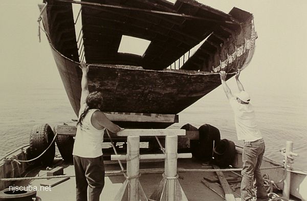
Kathy & Maria

Kathy & Maria Barges reef
Type:
artificial reef, barge, canal ( cut in two )
Specs:
( 32 x 13 ft each piece )
Sponsor:
Ocean City Marlin & Tuna Club, Cape May County Party & Charter Boat Association
Sunk:
Wednesday/Thursday June 22/23, 1997 - Ocean City Artificial Reef
GPS:
Kathy: 39°10.719' -74°33.259'
GPS:
Maria: 39°10.814' -74°33.044'

Comments on Kathy & Maria

Questions or Inquiries?

Just want to say Hello? Sign the .

Submit a Comment

Your email address will not be published. Required fields are marked *


Click image to replace if unable to read.

Enter the digits from the image above, except for the last one:

This site uses Akismet to reduce spam. Learn how your comment data is processed.


DB-1
Type:
artificial reef, barges
Depth:
50 - 72 ft
Name Description Sunk GPS
115 ft steel 40°31.145'
-73°31.736'
100 ft wood
drydock
1990 40°31.504'
-73°31.914'
Navy 110 ft steel 1993 40°31.077'
-73°31.476'
40 ft steel
dredge
Wednesday
Oct 4, 2000
40°31.010'
-73°32.501'
40 ft steel
dredge
Wednesday
Oct 4, 2000
40°31.010'
-73°32.501'
DB-1 75 ft steel
derrick
Friday
Aug 10, 2018
40°30.971'
-73°32.971'