
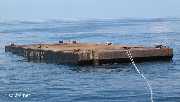
- Type:
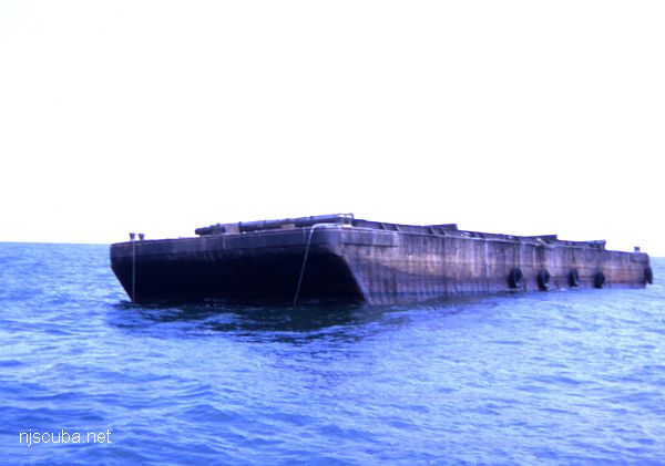
- artificial reef, barge
- Specs:
- ( 60 ft )
- Sponsor:
- AC Wescoat Bulkheads
- Sunk:
- Wednesday July 26, 2006 - Ocean City Artificial Reef
- GPS:
- 39°09.891' -74°34.310'
More: AC Wescoat 2 ...
Ocean City Artificial Reef
4.5 Nautical Miles off Ocean City, 1.35 sq miles
Depth: 55-70 ft [download]
More: Ocean City Artificial Reef ...
More: AC Wescoat 2 ...
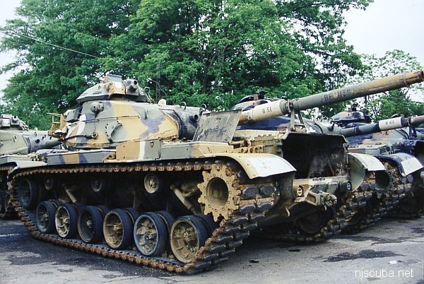
The Artificial Reef Program used four types of obsolete Army armored vehicles as artificial reef materials off the New Jersey coast. These were cleaned at local military bases, loaded onto barges for transport, and pushed off at their final destination. Once the Army had disposed of its excess inventory, the program ceased, around 1999. The Artificial Reef Program has sunk almost 400 tanks altogether, far too many to list them here in this website.
More: Army Tanks ...
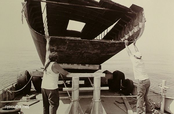
More: Kathy & Maria ...
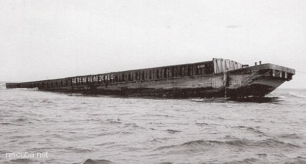
More: Libra ...
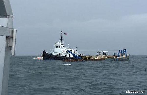
More: Ohio ...
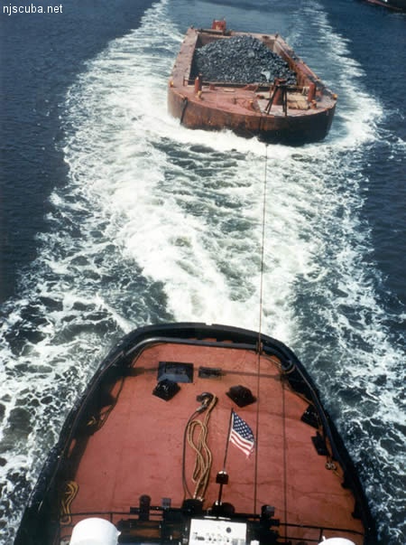
All manner of concrete, steel, and stone rubble from dredging, demolition projects, and other construction is used as artificial reef materials. This material is generally available at very low cost or free from construction companies who are more than happy to get rid of it. Transportation costs determine where this material is used by the Reef Program.
More: Rock & Rubble ...
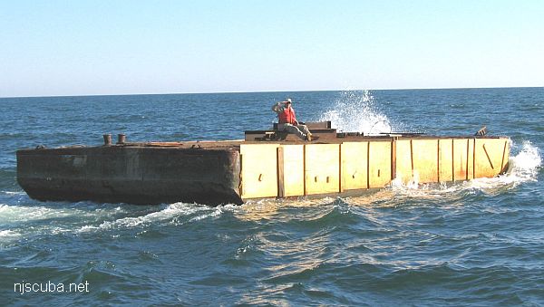
More: Shamrock ...
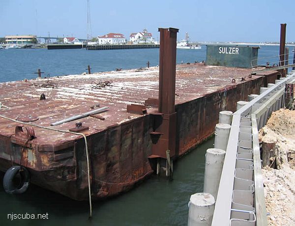
More: Sulzer barge ...
| Name | Description | Sunk | GPS |
| 80 ft steel | 40°31.884' -73°43.297' |
||
| 85 ft steel | 40°31.942' -73°42.894' |
||
| 100 ft steel | 40°31.631' -73°43.029' |
||
| 140 ft steel | 40°31.736' -73°42.736' |
||
| 150 ft steel | 40°31.903' -73°43.166' |
||
| 150 ft wood | 40°31.762' -73°43.306' |
||
| 75 ft steel | Thursday Nov 14, 2019 |
40°31.604' -73°43.611' |
More: barges - Atlantic Beach Artificial Reef ...