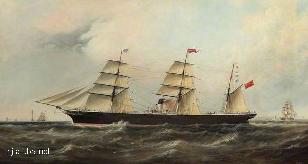
Sandy Hook Artificial Reef
1.6 nautical miles off Sea Bright, 1.76 sq miles
Depth: 40-60 ft [download]
More: Sandy Hook Artificial Reef ...
Sandy Hook / Rockaway Inlet Chart
More: Sandy Hook Dive Sites Chart ...
Sandy Hook Artificial Reef
1.6 nautical miles off Sea Bright, 1.76 sq miles
Depth: 40-60 ft [download]
More: Sandy Hook Artificial Reef ...
More: Sub Chaser SC-60 ...
The Shark River is your best bet for shore diving in the northern half of the New Jersey coastline, far better than the Manasquan River. Shark River offers at least four different locations to dive: either side of the inlet, with rock jetties to explore, slightly upstream at A Street in Belmar, and upriver in the back bay area at L Street, Belmar. The wreck of the Malta is also just a few blocks south on the beach, but hardly worth diving.
More: Shark River ...
Yet another place to dive the Shark River is on the south side, near the intersection of 1st Avenue and A Street, behind the apartments. There is limited but very convenient free parking. A small cement stairway leads down to a concrete ledge above the water. Climb down between the big rock and the bulkhead, where you will find more steps underwater. ( Whoever B.M and M.M. are - thank you! )
More: Shark River - A Street ...
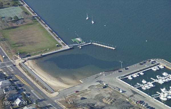
This dive site, formerly known as 'L Street' has changed completely, and for the better. The town of Belmar has done something really nice for us divers and installed wide wooden steps down the bulkhead in Maclearie Park. This more than makes up for the loss of the boat ramp area, which is off-limits to all swimmers since it was rebuilt. I suppose the little cove by the ramp is still accessible from the beach, but the new site is much better, and far from all the dangerous boat traffic around the ramp and marina.
More: Shark River - Back Bay ...
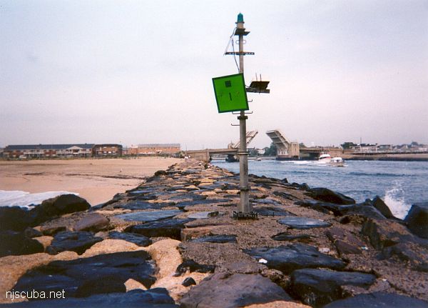
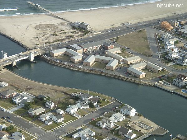
Shark River Inlet
This inlet has an L-shaped jetty on the north side and a longer straight jetty on the south side. Both jetties are made of loose stones - hardly any concrete - and the bottom is sandy and usually clean. You can walk over the bridge from one side of the inlet to the other in about five minutes.
More: Shark River Inlet ...
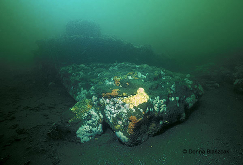
The Shrewsbury Rocks are a wide area of rocky bottom that stretches from fourteen feet of water out to the fifty-foot mark off of Monmouth Beach. Some of the formations are twenty feet tall or more and can be very pretty under good conditions, which are unfortunately seldom this far north. The stone itself is a type of sandstone known as Greensand.
More: Shrewsbury Rocks ...
More: Sylvanus ...
Unlike ( or just like ) the Caribbean, diving in New Jersey is actually better at night in many ways. That's obviously not true if you are out to survey a shipwreck, but for inlet diving, there is no comparison. During the day, the day critters will be wide awake, and you won't be able to get near them, while the night critters will be down in their holes where you'll never see them.
At night, you can go right up to the sleeping day critters and pinch them, even the fish. Some even seem mesmerized by your light, which will also draw in many small invertebrates by itself. Meanwhile, the night critters will be out prowling around, including the king of all night critters, the lobster. And if you shut off the light and wave your hands vigorously, the bioluminescents will put on a show for you.
More: Night Diving ...