Artificial Reefs (6/26)

New York  New Jersey Delaware
 1  5 6 7  26  

Type:
artificial reef, drydock gate
Specs:
( 140' x 40' )
Sunk:
Thursday September 26, 2019 - Cape May Artificial Reef
Depth:
75 ft
GPS:
38°50.699' -74°43.023'

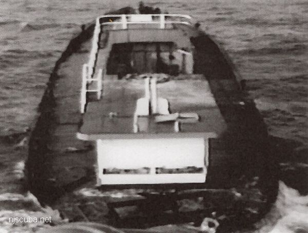
Under tow to the reef, with crushed wheelhouse and no masts
Type:
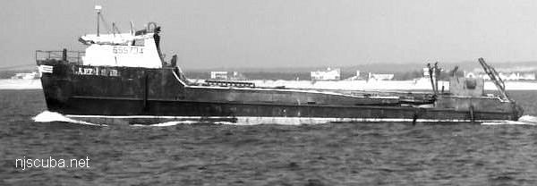
artificial reef, clam dredge
Built:
1983 - James K Walker Marine, Moss Point MS USA
Specs:
( 112x24 ft ) 188 gross tons
Sunk:
Wednesday March 8, 2000 - Moriches Artificial Reef
Depth:
75 ft
GPS:
40°43.505' -72°46.386'

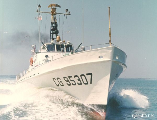
Cape Straight WPB-95308 reef
A "Cape"-class cutter at speed
Type:
artificial reef, cutter, US Coast Guard
Built:
1953 Curtiss Bay MD USA
Specs:
( 95 x 20 ft )
Sponsor:
USCG, New Jersey State Police
Sunk:
Thursday September 9, 1993 - Cape May Artificial Reef
GPS:
38°51.060' -74°42.125'
Depth:
65 ft

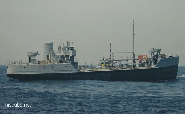
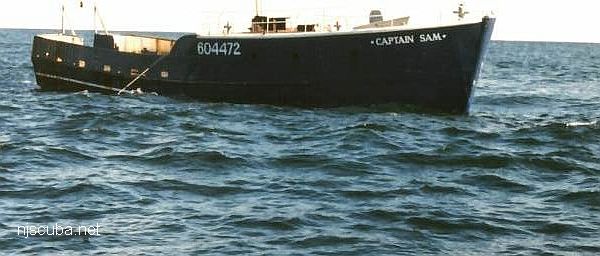
Captain Bart reef
Type:
artificial reef, tanker, US Navy ( YW-83 class / YO-65 class )
Built:
1944, RTC Shipbuilding, Camden NJ USA, as YOG-58
Specs:
( 174 x 33 ft ) 1390 displacement tons (full)
Sponsor:
GPPCBA, Crown Beer Distributors, Budweiser
Dedication:
Captain Bart Rozanski
Sunk:
Friday June 9, 2000 - Sea Girt Artificial Reef
GPS:
40°07.103' -73°41.479'
Depth:
130 ft


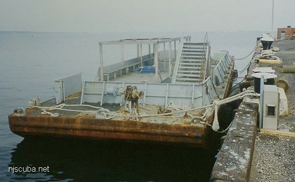
Captain Etzel reef
Type:
artificial reef, barge, US Navy
Built:
1968, Philadelphia Naval Shipyard, as YC-1504
Specs:
( 110 x 32 ft )
Sponsor:
US Navy, Clark's Landing Marina
Sunk:
Wednesday July 6, 1994 - Sea Girt Artificial Reef
GPS:
40°07.910' -73°56.168'

Captain Henry reef
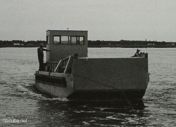
"Captain Henry" - the bow ramp appears to have been welded up
Type:
artificial reef, LCM-6 (Landing Craft-Mechanized) used as buoy tender
Built:
1943 New Orleans LA USA
Specs:
( 56 x 14 ft ) 64 tons
Sponsor:
Bureau of Coastal Engineering, Fish America &
Cape May County Party & Charter Boat Association
Sunk:
Sunday May 6, 1990 - Cape May Artificial Reef
GPS:
38°51.200' -74°42.280'


Car Float #52 reef
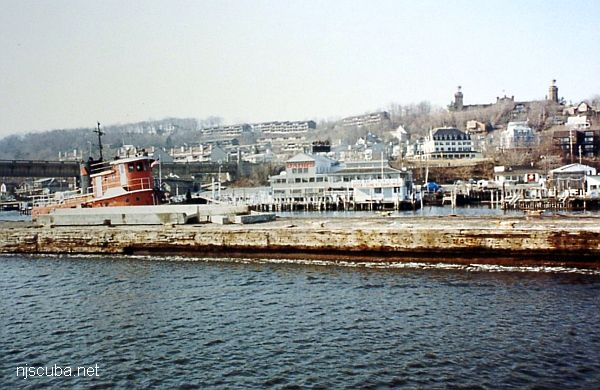
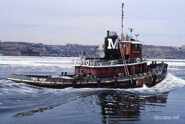
The Car Float barge is pushed up the Navesink River below Twin Lights. The tugboat is the Billy D, later sunk on the Shark River Reef.
Type:
artificial reef, barge
Specs:
( 270 x 39 ft )
Sponsor:
East Coast Tender Services
Sunk:
Wednesday February 10, 1988 - Sea Girt Artificial Reef
GPS:
40°07.135' -73°56.919'


Artificial Reefs

 1  5 6 7  26  

H10284/88 -- OPR-C147-WH-88; AN OBSTRUCTION WAS FOUND WITH AN ESTIMATED DEPTH OF 33 FT; OBSTRUCTION IS 269M SW OF CHARTED POSITION OF THIS ITEM AND 81M SW OF POSITION OF ITEM 1571; EVALUATOR BELIEVES THAT THIS CONTACT IS THIS ITEM OR ITEM 4600; THERE ARE OTHER OBSTRUCTIONS IN THE VICINITY OF THE AWOIS ITEM THAT WERE LOCATED BY THE PRESENT SURVEY, BUT THIS IS THE MOST SIGNIFICANT AND HAS AN ESTIMATED HEIGHT THAT IS CLOSE TO THE CHARTED INFORMATION. (UPDATED MSD 6/91)

FE330SS/89 -- OPR-C147-HE-89; CONTACT #22 FROM SURVEY H-10284/88; DIVERS INVESTIGATION REVEALED THE REMAINS OF A LARGE WOODEN WRECK WHICH IS BADLY BROKEN UP, DETERIORATED, AND STREWN ABOUT THE BOTTOM; SEVERAL LARGE TIMBERS RISE AT ANGLES ABOVE THE GENERAL TREND OF THE WRECK; TIMBERS ARE MOST LIKELY THE RIBS FROM THE WRECK; LEADLINE LEAST DEPTH WAS TAKEN BY DIVERS ON THE AFTERMOST VERTICAL TIMBER; DUE TO THE DETERIORATED CONDITION OF WRECK, POSITIVE IDENTIFICATION IS NOT POSSIBLE; HOWEVER, DIVERS REPORTED THAT THE WRECKAGE WAS MORE LIKELY A BARGE THAN A WAR VESSEL (AWOIS ITEM 1571) (UPDATED MSD 6/91)

Printed from njscuba.net