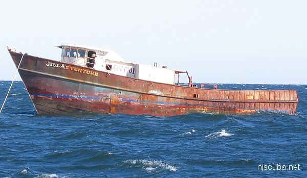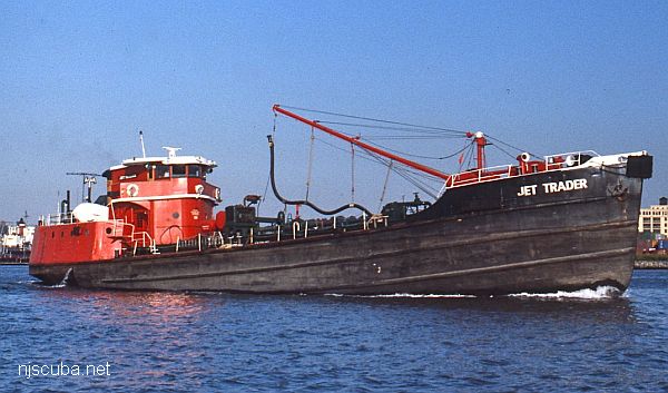
- Type:
- artificial reef, tanker
- Built:
- 1944, Ira S. Bushey & Sons, Brooklyn NY USA
- Specs:
- ( 156 x 30 ft ) 440 tons
- Sponsor:
- Cleanwater of New York
- Sunk:
- Friday September 2 2005 - Atlantic City Artificial Reef
- GPS:
- 39°13.850' -74°12.510'
More: Jet Trader YO-167 ...
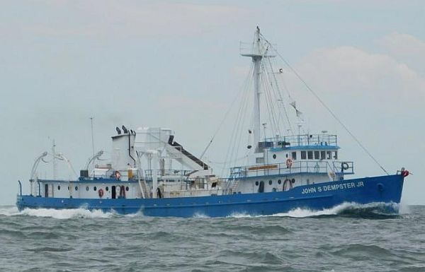
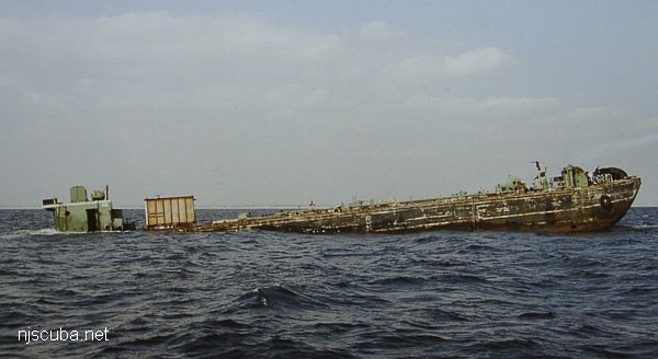
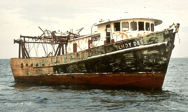
- Type:
- artificial reef, freighter, purse seiner
- Built:
- 1944, J.K. Welding, Yonkers NY, as FS-355 (US Army)
- Specs:
- ( 166 x 32 ft ) 542 tons
- Sunk:
- Thursday, Jan 21, 2021 - DelJerseyLand Artificial Reef
- GPS:
- 38°31.340' -74°30.671'
- Depth:
- 125 ft
More: John S Dempster Jr FS-355 ...
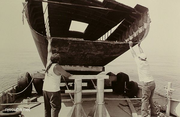
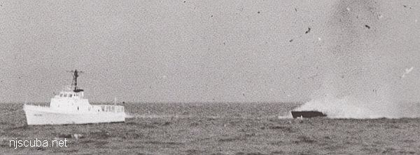 Tethered to the Cape Straight for sinking
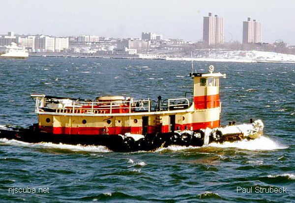
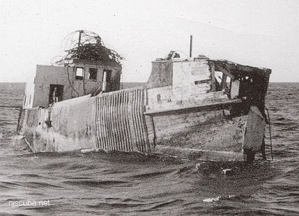
- Type:
- artificial reef, buoy tender
- Built:
- 1969
- Specs:
- ( 46' x 16' )
- Sponsor:
- USCG, New Jersey State Police
- Sunk:
- Thursday September 9, 1993 - Cape May Artificial Reef
- GPS:
- 38°51.106' -74°42.170'
More: Johnny Buoy BUSL ...