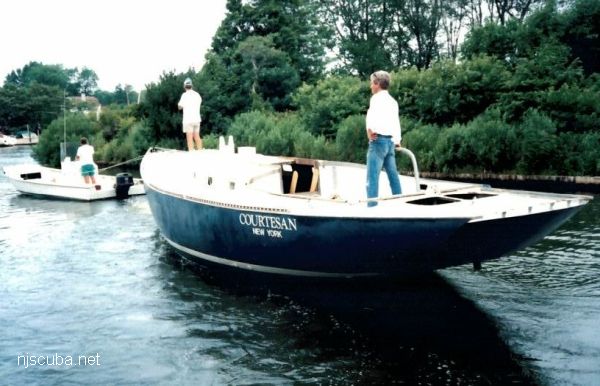
- Type:
- artificial reef, sailboat, USA
- Specs:
- ( 34 ft )
- Sunk:
- Monday July 27, 1998 - Fire Island Artificial Reef
- Depth:
- 70 ft
- GPS:
- 40°35.896' -73°12.934'
More: Courtesan ...
More: Courtesan ...
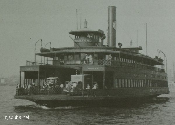
More: Cranford ...
no photo available
More: Crazy Horse ...
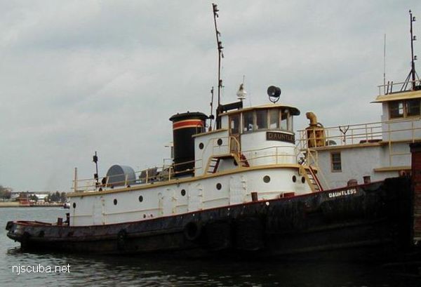
More: Dauntless ...
Delaware Artificial Reefs
Delaware has a string of artificial reef sites in the Delaware bay, but they are of little interest to divers. Most of the sites are quite shallow and perilously close to the shipping lanes, several of them were actually reduced for this reason. The conditions in the bay are hardly good for diving. The reefs consist mostly of concrete rubble from construction in Philadelphia and other cities on the river. Also shown is New Jersey's sole artificial reef in the bay.
More: Delaware Bay Reefs ...
More: Delilah DPC-65 ...
More: Diver's Abyss YTM-? ...
More: Dorothy ...
More: drydock ...
More: DVD Barge ...