 Yes, that is wood grain
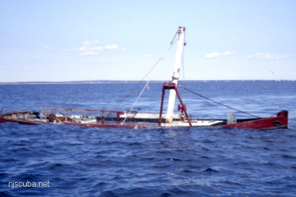
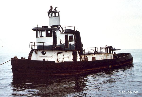
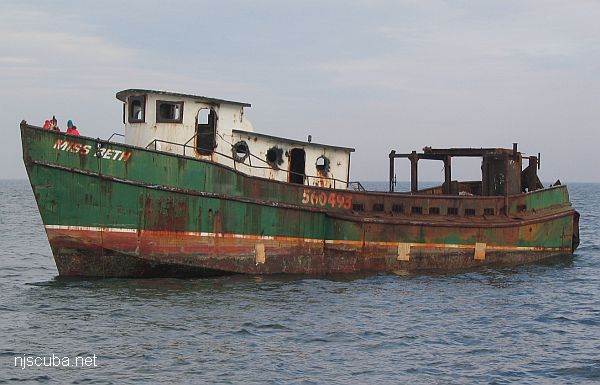
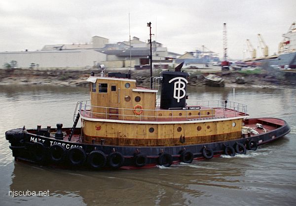
- Type:
- artificial reef, tugboat, U.S. Navy
- Built:
- 1943, Lawley & Sons, Neponset, MA as DPC-14, later Matt Turecamo
- Specs:
- ( 86 x 24 ft ) 146 GT, 9 crew
- Sponsor:
- Sean Maubray, FCO
- Sunk:
- Thursday October 17, 1996 - Sea Girt Artificial Reef
- GPS:
- 40°07.514' -73°56.465'
- Depth:
- 80 ft, main deck at 65 ft
More: Matt Turecamo DPC-14 ...
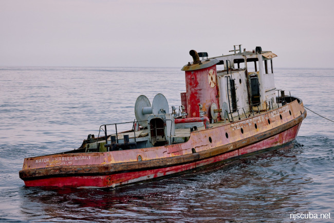
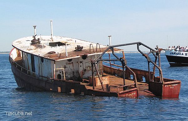
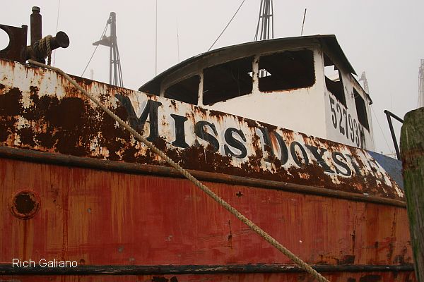
- Type:
- artificial reef, fireboat
- Built:
- 1960, Jakobson Shipyard, Oyster Bay, NY
- Specs:
- ( 86 x 20 ft ) 93 tons
- Sunk:
- Saturday June 22, 2024 - Delaware #11 Artificial Reef
- GPS:
- 38°40.457' -74°42.961'
More: Mayor J Harold Grady ...
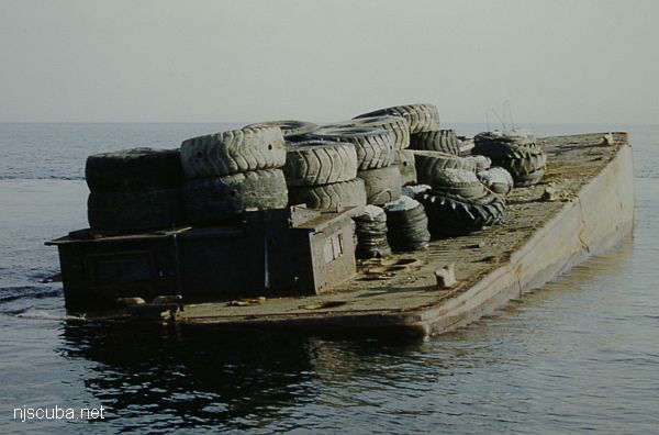
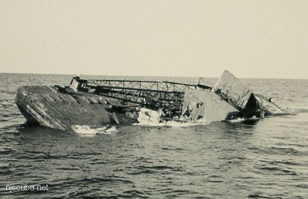
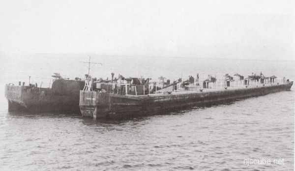
- Type:
- artificial reef, barge
- Specs:
- ( 70 x 28 ft )
- Sponsor:
- Creedon Tug & Barge Works, Friends of Michael DePalma, GDF, Cape May County Party & Charter Boat Association
- Sunk:
- Tuesday February 27, 1996 - Wildwood Artificial Reef
- GPS:
- 38°56.970' -74°41.337'
More: Michael DePalma ...