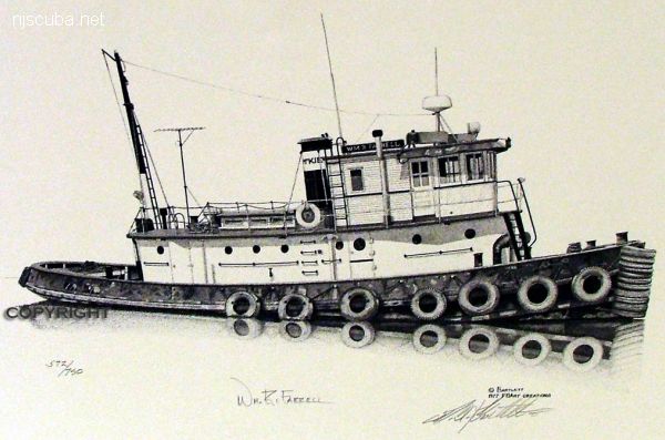
William R Farrell

- Type:
- shipwreck, tugboat, USA
- Built:
- 1900
- Specs:
- ( 61 ft )
- Sunk:
- 1979
- Depth:
- 55 ft
This small harbor tug was bought by someone who wanted to convert it to some other-than-tug use, but it was lost and is now sitting on its port side in 55 ft of water, with the port railing right at the sand. The starboard hull is completely exposed, and there is an opening through it into the engine room that is large enough for a diver to enter. Apparently, there was a failed attempt to salvage the engine. There are also two less hazardous entry points - the topside access, which is very large, and a port side hatchway.
Otherwise, the wreck is in pretty good shape and covered with white cold-water corals which gave it a "glow" in the clear shallow water. On this dive, we had 60+ feet visibility everywhere except within about 5 ft of the sand - blue 68°F water above the thermocline. There were baitfish and a large Barracuda there, along with a large collection of Conger Eels and other common Atlantic shore fish. We also saw a juvenile Spotfin Butterfly hiding in one of the starboard side fenders. A fun wreck to explore inside and out, especially given the warm, clear water.
Also known as the "Harvey Cedars Wreck"
Description courtesy of diver Art Greenberg

Questions or Inquiries?
Just want to say Hello? Sign the .