Barnegat Dive Sites (1/5)

Barnegat Chart

 1 2 3 4 5  

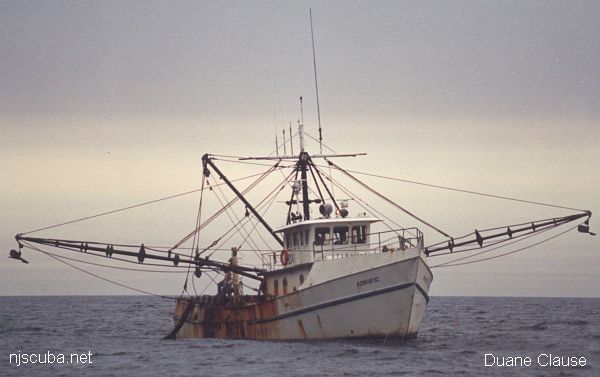
Shipwreck Adriatic

"This picture was taken several years ago by my wife, Debbie. We were searching for the Adriatic's lost clam dredge that day. Later, after the sinking, my group of divers was the first to dive on and identify her. I used this picture at the dive site to set the dive plan and objectives."

- Capt. Duane Clause, Porthole II

Type:
shipwreck, clam dredge, USA
Built:
1977, Master Marine, Bayou La Bâtre AL USA
Specs:
( 74 ft ) 134 gross tons, 4 crew
Sunk:
Monday January 18, 1999
foundered in rough seas - no survivors
Depth:
65 ft


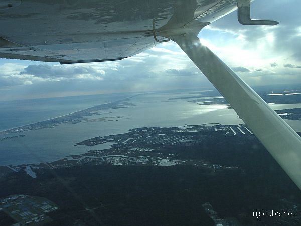
Barnegat Inlet

Type:
major ocean inlet with strong current, surf, and heavy boat traffic
Depth:
45 ft

Barnegat Light Artificial Reef

3.1 Nautical Miles off Barnegat, 1.08 sq miles
Depth: 50-60 ft [download]


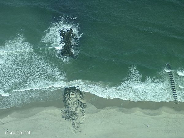
Beach Jetties

Dozens of jetties up and down the coast have been cut-though at the base like this one, making them inaccessible to fishermen, but not divers !


Type:
shipwreck, barge
Depth:
120 ft

This wreck got its name from the first few divers to get there, who struck it rich in lobsters in its wooden ribs and decking. The wreckage is very well spread out in several lines or walls, with decking off to one side. Near the bow, an overturned piece of decking is home to ling and blackfish. Off to the side lie the winch and small bits of machinery.


Type:
shipwreck, barge
Specs:
432 tons
Sunk:
Friday August 26, 1921
Depth:
65 ft

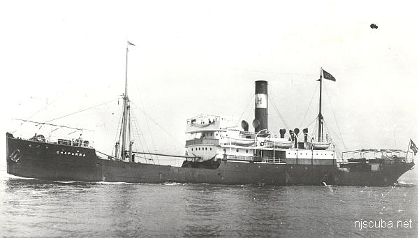
Shipwreck Chaparra
Type:
shipwreck, freighter, Cuba
Name:
a seaport in northeastern Cuba
also Spanish for "cowboy" or slang for "shorty"
Built:
1906, Scotland, as Tinhow
Specs:
( 249 x 38 ft ) 1510 gross tons, 29 crew
Sunk:
Sunday October 27, 1918
struck mine laid by U-117 - 6 casualties
Depth:
80 ft

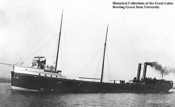
Shipwreck Charlemagne Tower
Type:
shipwreck, Great Lakes ore carrier, USA
Built:
1888, Quayle & Sons, Cleveland OH USA
Specs:
( 255 x 40 ft ) 1825 gross tons, 19 crew
Sunk:
Friday March 6, 1914
foundered in rough seas - no casualties
Depth:
75 ft

Barnegat Dive Sites

 1 2 3 4 5  

Dive Sites - pick your starting point

Since starting the site, I used charts with white water and gray land, and when I re-built all the charts in OpenLayers, it was easy enough to duplicate that. But I noticed that when you print a page, the gray land disappears. I have never found any documentation on the OpenLayers json map specifications, but I picked-apart some examples and eventually hacked-together a solution where the land is green and it does print. So hooray for that.