A number of small warships are sunk in New Jersey and New York waters.
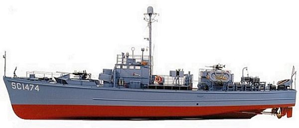
subchaser (model)
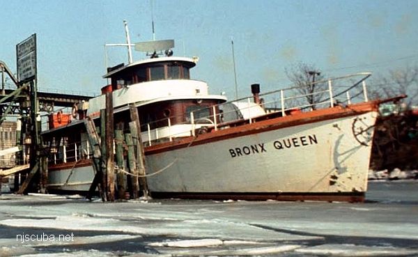
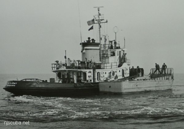
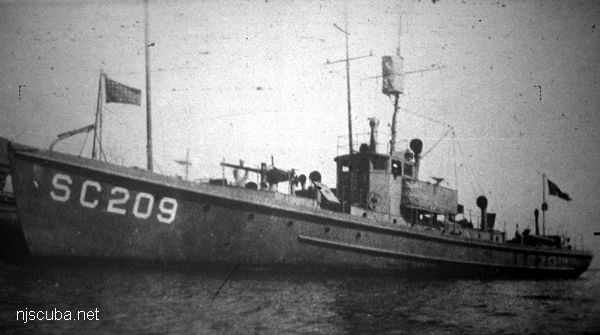
A subchaser was a small coastal patrol vessel of World War I or II. Subchasers were lightly armed and even more lightly constructed, mostly out of plywood, powered by two diesel (WWII) or three gasoline (WWI) engines. Roughly the same design was used in both wars - 110 ft long, about 100 tons. Almost a thousand were built over both World Wars, and several are lost in the waters around this area. Many private yachts and some larger fishing trawlers were converted to perform this function also, like the Tarantula and the Moonstone. Conversely, some subchasers were converted to other duties after the war, such as the Bronx Queen, pictured below in military trim. Real subchasers were designated SC-, while converted yachts were designated SP-, PY- ( patrol yacht ) or PYc ( patrol yacht - coastal. )
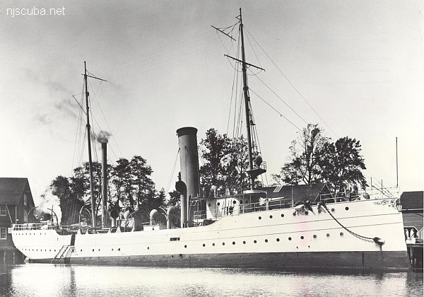
The Battle of Culloden, where in 1745 the English army massacred the last of the Scottish resistance ( and much of the civilian population ), completing the English conquest of Scotland.
Built:
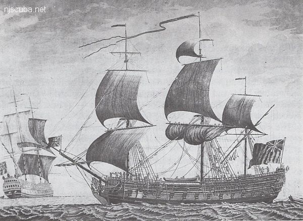
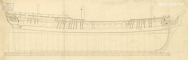
1776, England
Specs:
( 170 x 47 ft ) 1658 gross tons, 650 crew
Sunk:
Monday January 24, 1781
ran aground in storm - no casualties
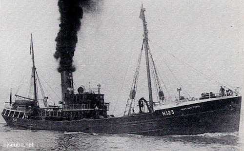
Pentland Firth is the channel between the northern tip of Scotland and the Islands that form Scapa Flow, the great British naval base, and today one of the best wreck diving locales in the world.
Built:
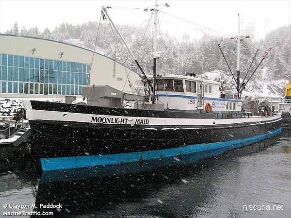
1934, England
Specs:
( 164 x 27 ft ) 485 gross tons
Sunk:
Saturday September 19, 1942 collision with minesweeper trawler USS Chaffinch (400 tons) - ? casualties
The US Coast Guard maintains a number of aids to navigation to assist vessels entering and leaving ports, both great ports like New York and Philadelphia, and minor ports like Shark River and Montauk. At sea, these aids take the form of buoys that mark out channels and shipping lanes. The chart about also marks major ocean-side lighthouses and a few others. All of these are still extant and may be visited except Shinnecock, which was torn down.
Shipping lanes are like divided highways at sea. Inbound and outbound lanes are separated by a wide "Separation Zone, " which may or may not be depicted on the charts in this website, depending on the scale. Ships "drive on the right" just like cars in civilized countries. At the inbound end where all the lanes converge into the harbor channel, things get messy, and I didn't try to depict it. Likewise, the outer ends of the lanes are not exact either.