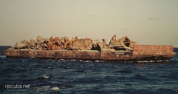
The barge-load of wreckage that will become the "Horseshoe Wrecks." the wreckage was pushed off three sides of the barge, hence the horseshoe pattern.
Type:
artificial reef, barges , tugboat
Specs:
( huge junk pile )
Sunk:
Sunday December 23, 2012 - Sea Girt Artificial Reef
GPS:
40°08.203' -73°55.779'
Depth:
80 ft
More: Horseshoe Wrecks ...
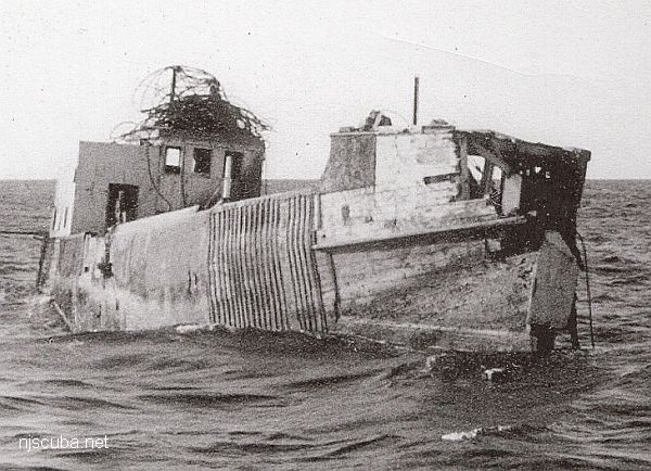
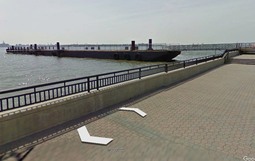
The barge moored at Liberty State Park, 2011
Type:
artificial reef, car float barge , USA
Specs:
( 330 x 40 ft ) cut into pieces
Sponsor:
NJDOT / NJDEP
Sunk:
Nov 2025 - Sea Girt Artificial Reef
GPS:
40°07.793' -73°56.824'
Depth:
65 ft
The 330-foot car float barge Liberty was removed from the Hudson River in sections to clear space for a new ferry terminal at Liberty State Park. Formerly, Liberty was used at the park as a passenger-loading platform for ferries transiting to Ellis Island and the Statue of Liberty since 2005. It sank in a storm in 2020.
More: Liberty Barge ...
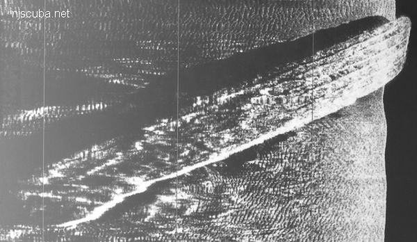
Yes, that is wood grain
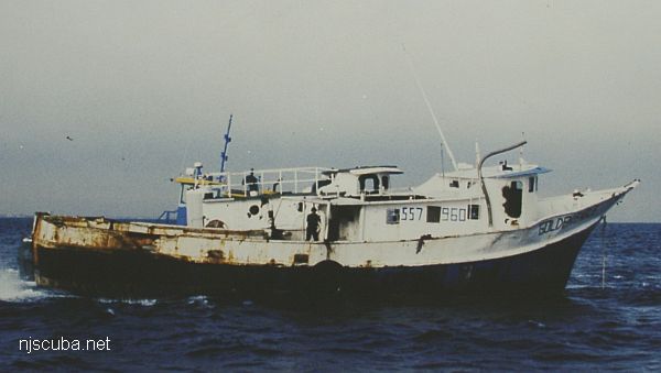
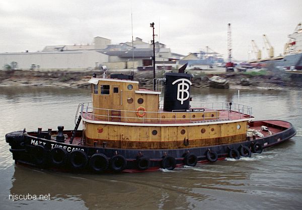
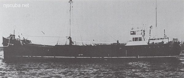
Type:
artificial reef, tugboat , U.S. Navy
Built:
1943, Lawley & Sons , Neponset, MA as DPC-14, later Matt Turecamo
Specs:
( 86 x 24 ft ) 146 GT, 9 crew
Sponsor:
Sean Maubray, FCO
Sunk:
Thursday October 17, 1996 - Sea Girt Artificial Reef
GPS:
40°07.514' -73°56.465'
Depth:
80 ft, main deck at 65 ft
More: Matt Turecamo DPC-14 ...
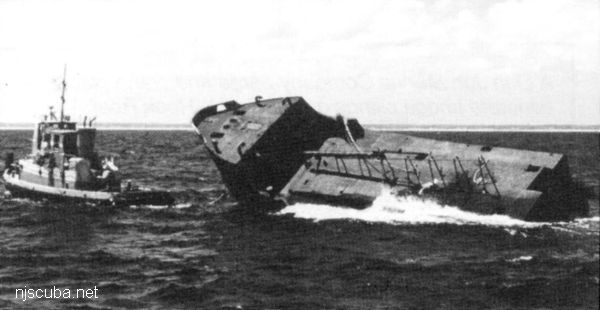
Please support the Artificial Reef Program so that they can sink the rest of this ship !
Type:
artificial reef, tanker ( front half only )
Specs:
( 85 x 30 ft )
Sponsor:
Ocean Wreck Divers
Sunk:
Friday August 7, 1998 - Sea Girt Artificial Reef
GPS:
40°07.750' -73°56.345'
Depth:
70 ft
More: Ocean Wreck Divers IV "The Bow" ...
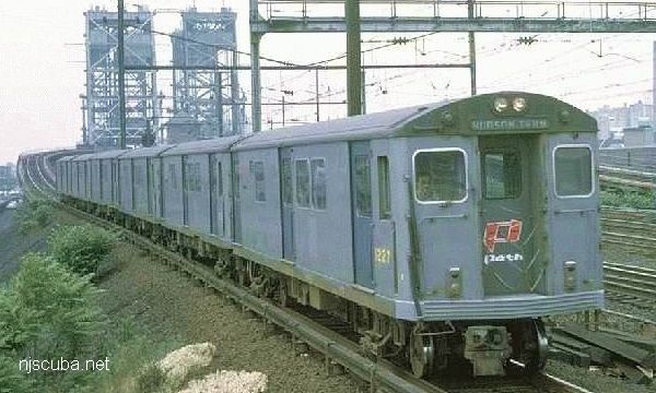
Type:
5 MP51 "K-Car" type PATH train cars ( the "Tubes" )
Built:
1958 onwards - St. Louis Car Company
Specs:
( 51 x 9 x 12 ft ) 69,300 lbs, 44 seats
Sponsor:
SEPTA
Sunk:
Thursday July 19, 1990 - Sea Girt Artificial Reef
GPS:
40°06.675' -73°57.077'
Depth:
70 ft
More: PATH subway cars ...