Dive Sites Charts (1/2)

Dive Sites - pick your starting point

 1 2  

Barnegat Chart


Cape May Chart


Deep Sea Chart (pan right for more)


Long Island - East Chart

Long Island East Dive Sites


Long Island Sound - West Chart

Long Island Sound - East Chart

Long Island Sound averages 60 ft in depth, with the greatest depth of over 300 ft at the eastern end. Tidal effects are strongest at the narrow western end, where all the inrushing water flow piles up and makes tidal variations of up to 7 ft. Strong tidal currents are also prevalent, and visibility tends to be poorer than the open ocean, especially at depth.

Long Island Sound Dive Sites


Long Island - West Chart

Long Island West Dive Sites


Manasquan Chart


Dive Sites - New Jersey


Dive Sites - New York


Sandy Hook / Rockaway Inlet Chart


Dive Sites Charts

 1 2  

Finding a Shipwreck

by Capt. Steve Nagiewicz

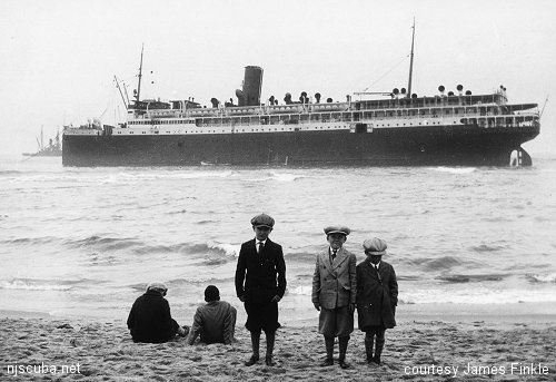
SS Mohawk aground

Of course, finding a shipwreck is a necessary prerequisite for finding artifacts. Many wreck locations are well known. Others are secrets, and many wrecks have yet to be discovered. While you can recover artifacts from almost any shipwreck, it is these "virgin" wrecks that are often the best producers of prize items like portholes, deadeyes, and china. But how do you find a wreck like this? Research is the most productive method. This will require visiting local libraries, historical societies, nautical museums, and many other institutions. It means lots of reading and digging for information. Be prepared to spend some time searching for clues that aren't willing to be found.

Printed from njscuba.net