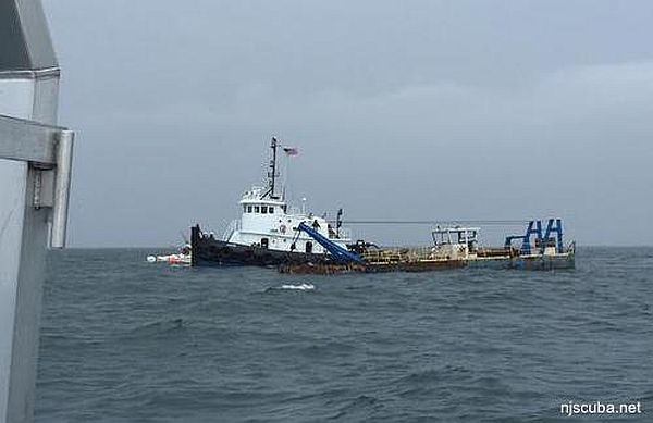
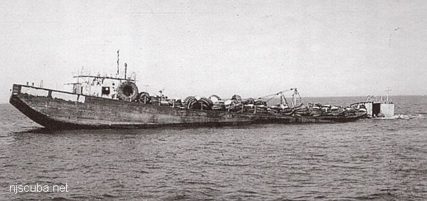
- Type:
- artificial reef, barge
- Specs:
- ( 90 ft )
- Sponsor:
- Manasquan River Marlin & Tuna Club, Ann E Clark Foundation
- Sunk:
- Friday Oct 3, 2006 - Axel Carlson Artificial Reef
- GPS:
- 40°03.387' -73°59.386'
- Depth:
- 80 ft
More: MRMTC 8 ...
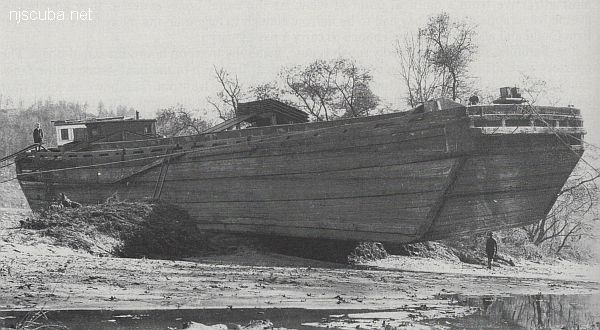
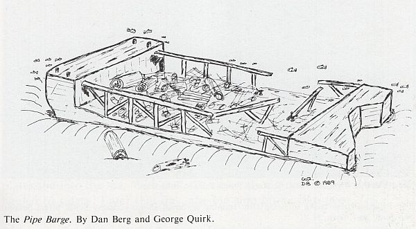
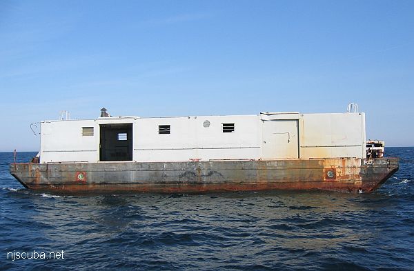
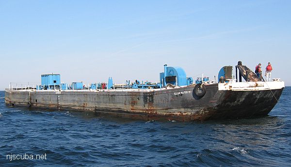
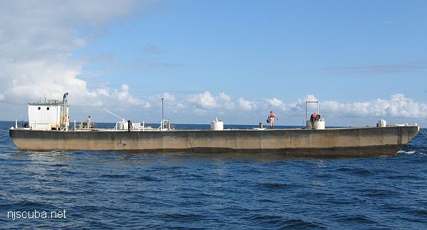
A barge is a vessel that does not have its own means of propulsion ( usually. ) Barges are towed or pushed from place to place by tugboats, or anchored in place to serve as temporary work platforms, floating docks, or storage. Some barges are self-propelled, in a limited way. These are known as scows, and their limited propulsive power restricts them to protected waters without the assistance of a tugboat.
More: Barge ...
More: MRMTC 8 ...
More: MRMTC 9 ...
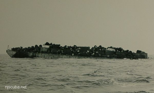
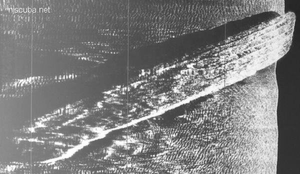
Probably so-named because it is the next-closest thing to the Pinta at the same depth. So if that wreck turns out to be occupied by another boat, you get a "New Deal". Seldom visited, so should be good for fish and lobsters. A large and relatively intact barge filled with stones. Known by many other names, depending on who you ask.
More: New Deal ...
More: Ohio ...
More: Onondaga ...
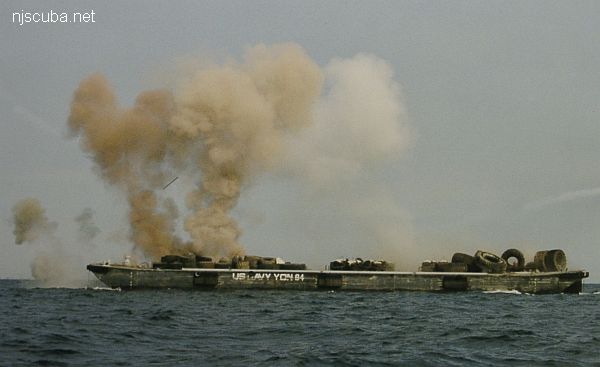
More: Ocean Wreck Divers III YON-84 ...
More: Pair of Kings ...
More: railroad barge ...
More: Rothenbach I YON-97 ...
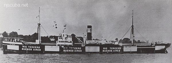
More: Rio Tercero ...