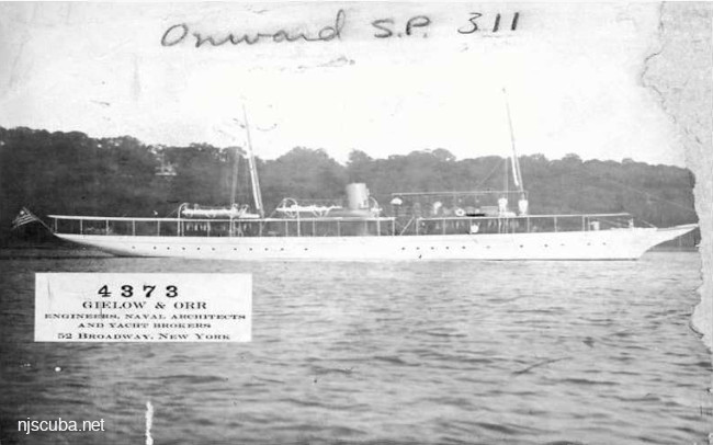
- Type:
- shipwreck, steamer, yacht, USA
- Built:
- 1906, Consolidated Shipbuilding, Morris Heights NY USA as Galatea
- Specs:
- ( 140 x 18 ft ) 157 tons, 9 crew
- Sunk:
- Sunday April 29, 1923
grounded on Fisher's Island - 1 casualty
More: Thelma Phoebe ...
Long Island - East Chart
More: Long Island East Dive Sites Chart ...
More: Thelma Phoebe ...
12-Mile Artificial Reef
12.0 nautical miles from Moriches and Shinnecock Inlets, 1.33 sq miles
Depth: 123 - 143 ft
More: Twelve-Mile Artificial Reef ...
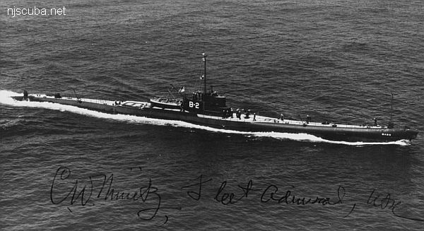
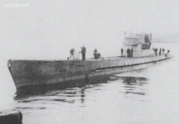
More: USS Bass V-2 / SS-64 ...
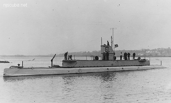
More: USS G-1 SS-19 ...
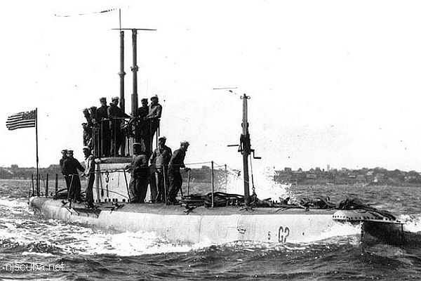
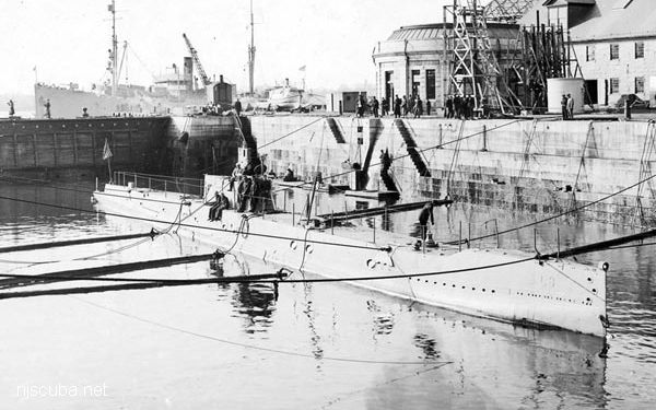
More: USS G-2 SS-27 ...
More: USS L-8 SS-48 ...