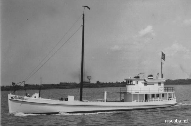
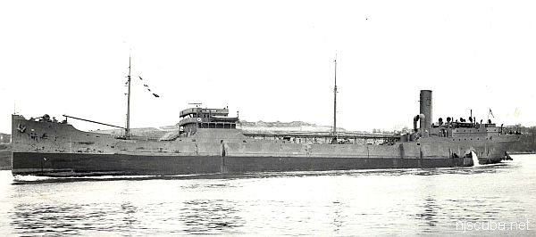
- Type:
- shipwreck, clam dredge, USA
- Built:
- 1936, Johnson Marine Railway, Crittenden VA USA
- Specs:
- ( 93 x 25 ft ) 113 gross tons
- Sunk:
- early 1980s, burned, no casualties
- Depth:
More: Chesapeake ...
More: Barnegat Dive Sites Chart ...
More: Chesapeake ...
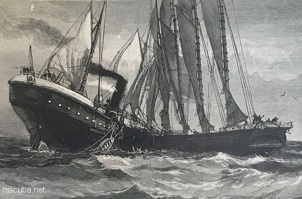
More: Cornelius Hargraves ...
More: F.F. Clain ...
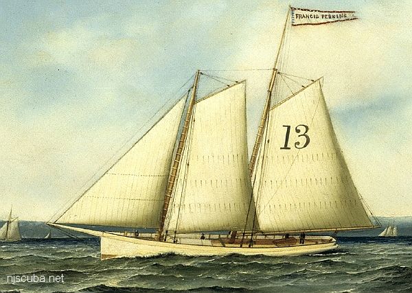
More: Francis A Perkins ...
Garden State North Artificial Reef
6.5 Nautical Miles off Harvey Cedars, 1.50 sq miles
Depth: 65-85 ft [download]
Good Times and Queen Mary are plotted from 1989 LORAN numbers. Although the TDs are slightly different, the resulting conversions are identical. It doesn't matter, neither one is still there.
More: Garden State North Artificial Reef ...
Garden State South Artificial Reef
5.1 Nautical Miles off Spray Beach, 0.74 sq miles
Depth: 55-65 ft [download]
More: Garden State South Artificial Reef ...
Another schooner barge or sailing ship. Close to shore and very near the Maurice Tracy. It is sometimes a second or third dive because of this. She's in 70 feet of water on a sandy seafloor. Lots of wood walls and some decking, it's been better for spearfishing lately rather than bugs, but that'll depend on when she was last dived. Named after the fishing boat that found the spot.
More: Gassoon ...
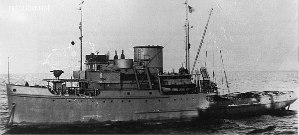
More: Great Isaac ...
More: Gulf Trade ...