Sixteen Fathom Artificial Reef

16-Fathom Artificial Reef

13 nautical miles southwest of Fire Island Inlet, 1.33 sq miles
Depth: 85 to 103 feet

This is a new reef for 2023, 1-nm square. This reef is located in the separation zone of the very busy Ambrose-Nantucket shipping lane. I can't believe that was permitted by the ACOE.

So far just concrete blocks and forms, no vessels.

It's a start

Twelve-Mile Artificial Reef


rock reef
A hopper barge full of rock

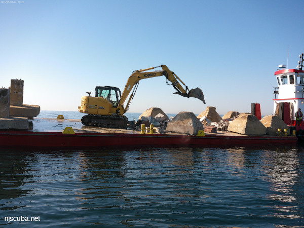
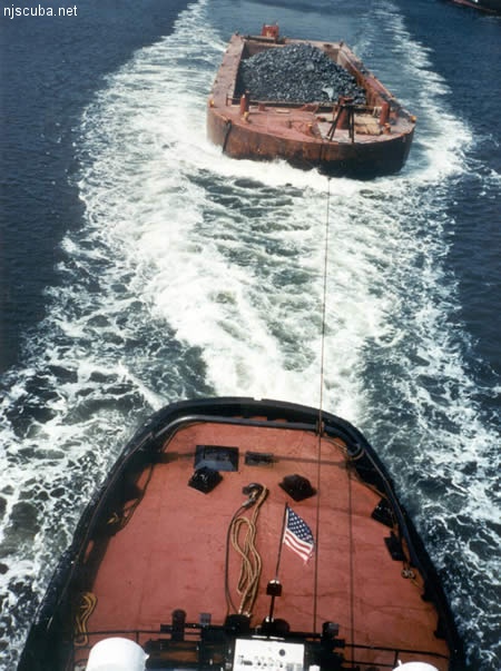
All manner of concrete, steel, and stone rubble from dredging, demolition projects, and other construction is used as artificial reef materials. This material is generally available at very low cost or free from construction companies who are more than happy to get rid of it. Transportation costs determine where this material is used by the Reef Program.


Comments on Sixteen Fathom Reef

Questions or Inquiries?

Just want to say Hello? Sign the .

Submit a Comment

Your email address will not be published. Required fields are marked *


Click image to replace if unable to read.

Enter the digits from the image above, except for the last one:

This site uses Akismet to reduce spam. Learn how your comment data is processed.


190 ft barge
Type:
artificial reef, barges
Depth:
70 - 75 ft
Name Description Sunk GPS
Jean
Elizabeth
190 ft steel 1995 40°43.500'
-72°46.482'
60 ft steel 1995
40°43.558'
-72°46.340'
#335 80 ft steel Friday
Nov 12, 1999
40°43.514'
-72°46.309'
CFD 100 ft steel Thursday
Feb 8, 2001
40°43.476'
-72°46.343'
"Pump Boat" 25 ft steel Sunday
Oct 14, 2018
40°43.464'
-72°46.601'
Self-Propelled
Scow #56
50 ft steel Sunday
Oct 14, 2018
40°43.453'
-72°46.612'