Unlisted Reefs

These reefs are all outside the official permitted reef boundaries, and are no longer listed in official tallies.


Cranford reef
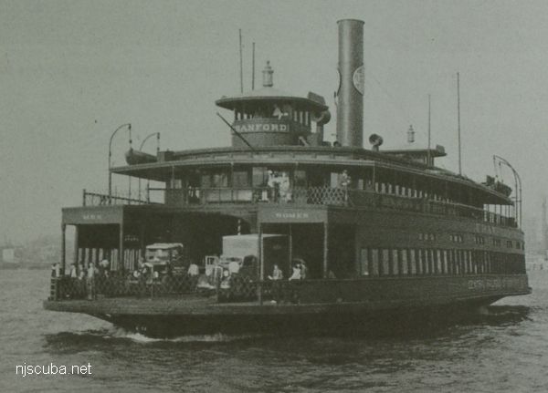
In life, July 1939. At this time, CRRNJ ferries were painted overall dark green. Notice how it says MEN on one side and WOMEN on the other.
Type:
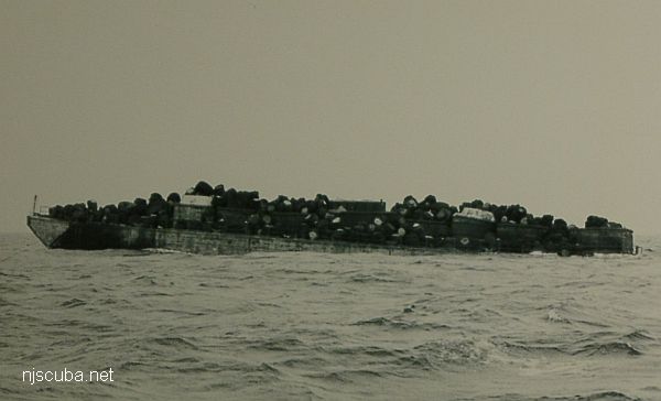
artificial reef, ferry, Central Railroad of New Jersey, USA
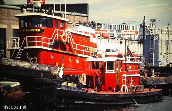
( sometimes incorrectly identified as a barge )
Name:
All CRRNJ ferries were named for New Jersey towns - Lakewood, Bound Brook, Red Bank, Plainfield, Elizabeth, Wilkes Barre, Cranford, Somerville, Westfield, and Bound Brook
Built:
1905, Harlan & Hollingsworth, Wilmington DE USA
Specs:
( 191 x 44 ft ) 1197 tons
Sponsor:
Ashley Development Corporation
Sunk:
Tuesday March 30, 1982 - Sea Girt Artificial Reef
GPS:
40°07.447' -73°56.227'
Depth:
70 ft


Dykes reef
Type:
artificial reef, schooner barge, USA
( The small smokestack in the pictures is for an electrical generator. )
Built:
1919, Union Shipbuilding, Baltimore MD USA
Specs:
( 306 x 35 ft ) 2072 tons, 14 crew
Sponsor:
Modern Transportation Co.
Sunk:
July 1983 - Sea Girt Artificial Reef
GPS:
40°06.964' -73°57.571'
Depth:
65 ft


The barge moored at Liberty State Park, 2011
Type:
artificial reef, car float barge, USA
Specs:
( 330 x 40 ft ) cut into pieces
Sponsor:
NJDOT / NJDEP
Sunk:
Nov 2025 - Sea Girt Artificial Reef
GPS:
40°07.793' -73°56.824'
40°07.832' -73°56.546'
40°07.859' -73°56.515'
40°07.952' -73°56.413'
Depth:
65 ft

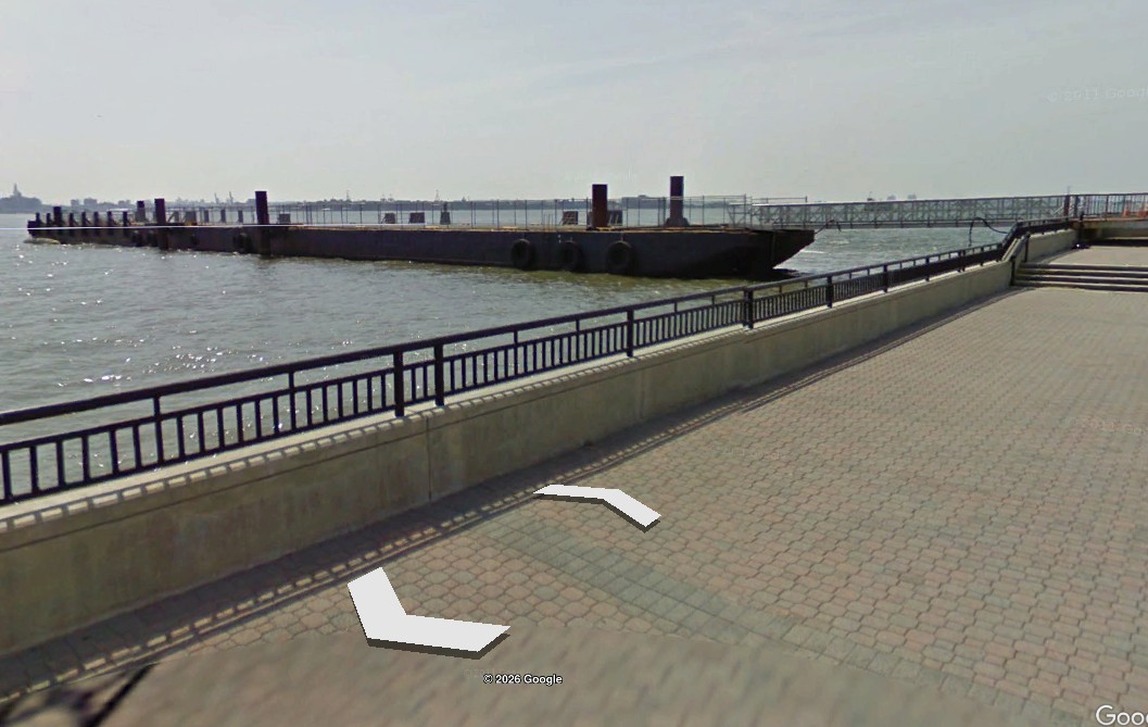
The 330-foot car float barge Liberty was removed from the Hudson River in sections to clear space for a new ferry terminal at Liberty State Park. Formerly, Liberty was used at the park as a passenger-loading platform for ferries transiting to Ellis Island and the Statue of Liberty since 2005. It sank in a storm in 2020.


Onondaga reef
Type:
artificial reef, barge, USA
Name:
An Indian tribe of central New York state, the Onondaga sided with the English in the French and Indian war.
Specs:
( 205 x 40 ft )
Sponsor:
Carbon Services Corp, Philadelphia Navy Yard, Artificial Reef Association, Cape May County Party & Charter Boat Association, Sportfish Fund
Sunk:
Monday July 19, 1993 - Cape May Artificial Reef
GPS:
38°53.770' -74°39.975'
Depth:
65 ft