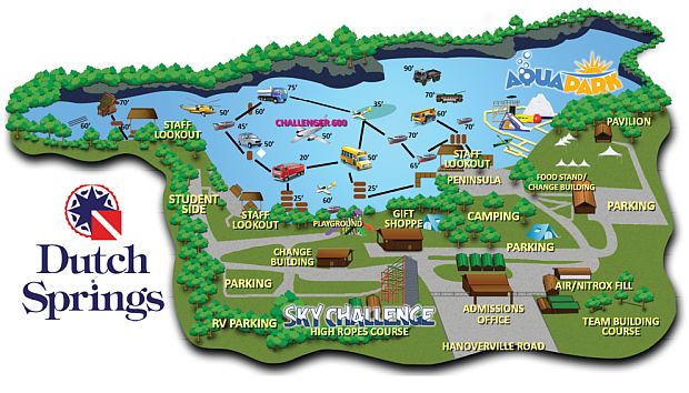
Dutch Springs contains many interesting artificial reefs for divers to explore. In fact, even the hole itself is man-made - it is an old limestone quarry. Although all of the land-side facilities have been demolished to make room for warehouses, the quarry itself is still open in a limited way - training dives only.
More: Dutch Springs (Lake Hydra) ...
Type:
shipwreck, sailing ship
Sunk:
Saturday December 14, 1907
Depth:
25 ft
400 yards offshore, mostly buried, wooden
More: Edmund Phinney ...
Type:
shipwreck, trawler ?, USA
Depth:
110 ft
debris field, boiler, machinery
More: Eureka ...
Type:
shipwreck, barge
Specs:
( 50 ft )
Sunk:
Saturday September 11, 1937
GPS:
40°18.834' -73°53.094' (AWOIS 2008)
Depth:
65 ft
This wreck is often referred to as a trawler, but it is really a self-propelled wooden dump scow of the G reat L akes Dredge & Dock Company.
More: G.L. 78 ...
Type:
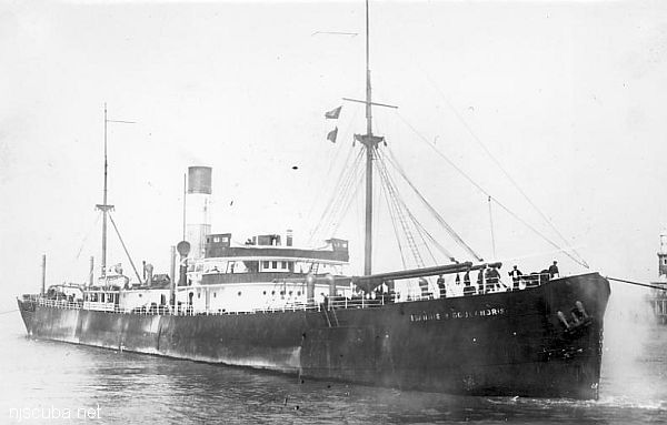
shipwreck, freighter , Greece
Name:
One of the Goulandris brothers, who's shipping company owned the vessel.
Built:
1910, England, as Maria Stathatos
Specs:
( 362 x 51 ft ) 3750 gross tons, 31 crew
Sunk:
Tuesday December 1, 1942collision with freighter Intrepido - no casualties
Depth: 190 ft
More: Ioannis P. Goulandris ...
Type:
shipwreck, barge
Depth:
More: Gypsy ...


