Sandy Hook Artificial Reef
1.6 nautical miles off Sea Bright
Depth: 40-60 ft [download]
The pink area on the chart is the "Full Access Zone". This is the area where commercial fishermen will continue to be allowed to set their traps and lines as of 2015.
The Sandy Hook reef has only a few small vessels sunk on it, although it does encompass several interesting shipwrecks. Instead, the northernmost of New Jersey's Artificial Reefs is composed of thousands of tons of construction debris and dredge spoils from New York City - far too much of it to plot! Minimum clearance at mean low water is 30 feet.
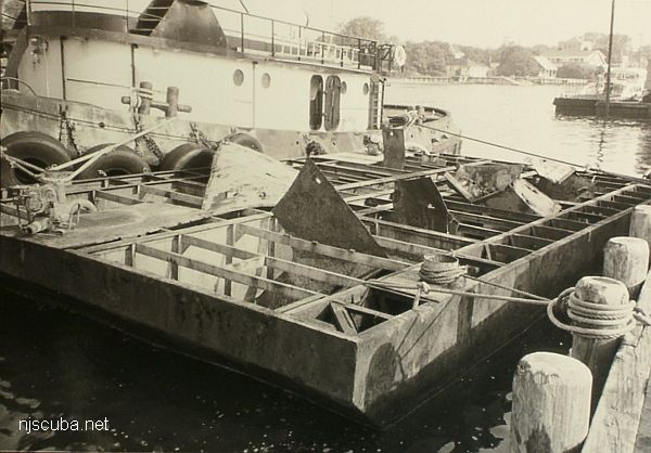
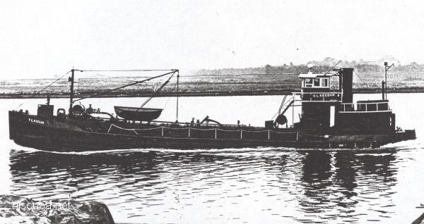
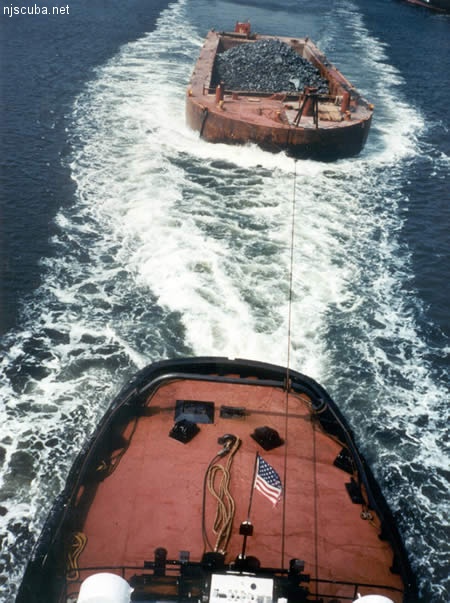
Concrete rubble is concentrated in the north, along with a sunken barge. The southern part of the reef is mostly dumped dredge rock, sort of an extension to the Shrewsbury Rocks. There is so much rock and rubble in the Sandy Hook Reef that I could not even begin to put it all on the chart - the bottom is practically paved.
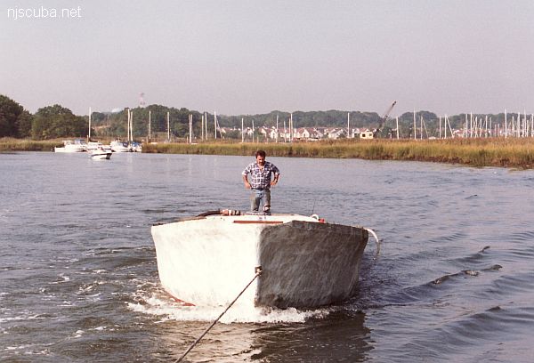
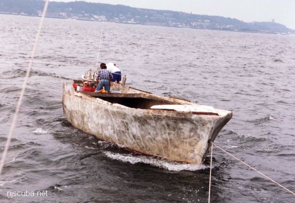
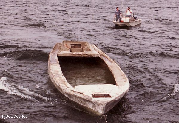
Not shown on the chart is the Lockwood, a 40' sailboat sunk circa 1991 in the southern part of the reef. The unfinished ferro-cement hull was donated and named after the Lockwood Marina and Boat Works in South Amboy. The Lockwood has probably broken up and sunk into the sand, as recent efforts to locate it have not been successful. It may also have been crushed under a rock drop.
Visibility is usually poor on the way down but can get better near the bottom, where it is dark and cold. See the Macedonia for a more detailed description of diving conditions here. The Sandy Hook Reef is one of the oldest artificial reef sites in New Jersey. Reef-building activities at this site date back to 1937.
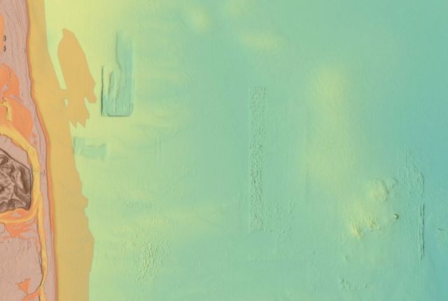
This is a shot of some bathymetric imaging released by NOAA. At left are the Highlands and twin lights. North from there is Sandy Hook, with two World War II gun batteries clearly visible. Offshore of Sandy Hook appears to be a big borrow pit for beach replenishment. South of that are the Shrewsbury rocks. In the center is the Sandy Hook Reef. The outline of the reef is perfectly clear - it is paved with dredge rock. At the lower right is a similar feature - another rock ridge that is clearly man-made. This is in the vicinity of the Mud Dump, it is dredged material from New York Harbor. They probably had the dump zone marked by buoys in the age before GPS - that is why it is so precise.
