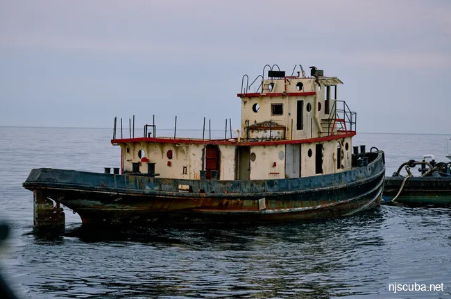
These are all reefs that have some connection to the military or Coast Guard, including DPC tugboats.
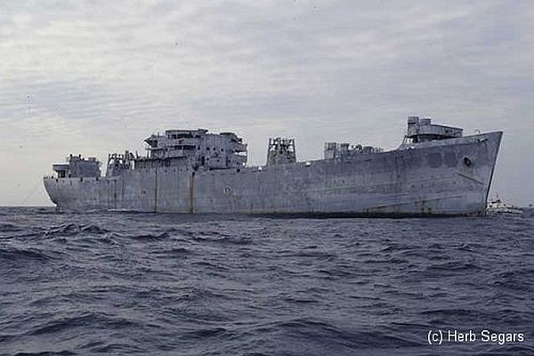
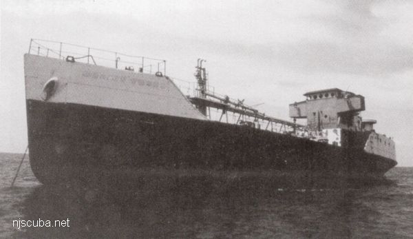
The Algol just prior to sinking, November 1991.
Type:
artificial reef, Andromeda class attack transport (
freighter ), U.S. Navy, also known as a "Victory Ship", although often incorrectly referred to as a Liberty Ship
Name:
One of a series of Navy transports named for stars;Algol is a star in the constellation Perseus, also known as the Demon star.
Built:
1943, Moore Drydock , Oakland CA USA, as James Barnes
Specs:
( 459 x 63 ft ) 13910 displacement tons, 429 crew *
Sponsor:
Federal Aid in Sportfish Restoration
Sunk:
Thursday November 22, 1991 - Sea Girt Artificial Reef
GPS:
40°06.545' -73°41.450'
Depth:
145 ft +, starts at 70 ft, main deck at 110 ft
More: USS Algol AKA-54 ...
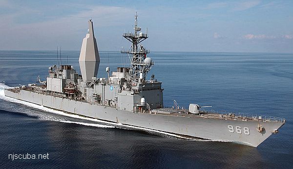
Radford with an experimental stealth mast
Type:
artificial reef, Spruance -class destroyer, US Navy
Built:
1975, Ingalls Shipbuilding , Pascagoula MS USA
Specs:
( 563 x 55 ft ) 8,040 tons
Sunk:
Wednesday, Aug 10, 2011 - DelJerseyLand Artificial Reef
GPS:
38°30.850' -74°30.656' originally, now ???
Depth:
130 ft
More: USS Arthur W Radford DD-968 ...
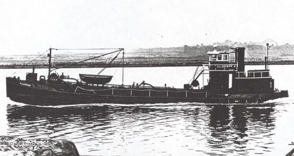
Type:
artificial reef, tanker - Spentonbush Company, USA (Hess Oil)
Built:
1932, Ira S. Bushey & Sons , Brooklyn NY USA
Specs:
( 110 ft )
Sponsor:
Spectra Services
Sunk:
Saturday June 3, 1989 - Sandy Hook Artificial Reef
GPS:
40°21.525' -73°56.110'
Depth:
60 ft
More: V.L. Keegan YO-166 ...
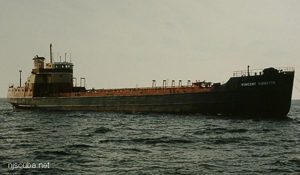
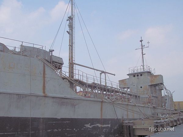
Type:
artificial reef, T1-M-A2 tanker, gasoline
Built:
1944, East Coast Shipyards , Bayonne NJ USA as USS Ochlockonee AOG-33
Specs:
( 244 x 37 ft ) tonnage unknown after lengthening
Sponsor:
Cape May County Party & Charter Boat Association, PSE&G Habitat Restoration Fund, friends of Walt Hendee, Ann E Clark Foundation
Sunk:
Thursday Sept 5, 2002 - Deepwater Artificial Reef
GPS:
38°58.385' -74°11.429'
Depth:
135 ft
More: Vincent Tibbetts AOG-33 ...