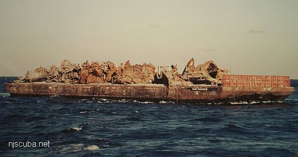
Bayville barge
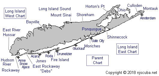
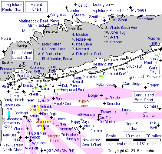
The visibility on this site varies. Average is 10-12ft. This site offers two wrecks which lie in 25 fsw. A British WWI two-man reconnaissance submarine and an old wooden barge. They are both within swimming distance from each other. The marine life is fair around these wrecks. There are a few car tires between the two wrecks and you may find an occasional lobster hiding inside them. To locate the barge take a compass heading of 330 degrees from the pilings located on the east side of Greenwich Ave. It takes about 50 kick cycles to reach the wreck. To get to the submarine take a compass heading of 30 degrees from the same pilings. This can be reached in about 30 kick cycles. Both of the wrecks are not intact but make for a good dive.
Directions:
Take the LIE to exit 41 north. This is county road 106/ 107. Take this road until it splits and keep right and stay on 106. Go past Northern Blvd. And make a left on Berry Hill Rd. to the end. Make a left onto Shore Dr. and go to the end. Then make a right onto Bayville Ave. A few blocks on the left is Greenwich Ave.


Questions or Inquiries?
Just want to say Hello? Sign the .