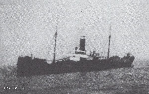
- Type:
- shipwreck, freighter, USA
- Name:
- Named for a town in eastern Wisconsin?
- Built:
- 1907, England, as Hogland
- Specs:
- ( 271 x 39 ft ) 1869 gross tons
- Sunk:
- Sunday June 2, 1918
bombed by U-151 - no casualties - Depth:
- 220 ft
More: Winneconne ...
Deep Sea Chart (pan right for more)
More: Deep Sea Dive Sites ...
More: Winneconne ...
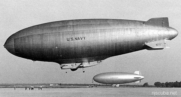
More: ZPG-3W Reliance ...

For those days that you can't get out diving, here are all the references listed in the sections of this site gathered together. Armchair diving beats watching the idiot box.
Nowadays, it is easy to order books from Amazon, Barnes & Noble, eBay, or in some cases, direct from the publisher. "eBooks" can be delivered instantly to your computer, phone, or tablet, and have become my preferred way of reading. Old out-of-print references can be found with an online search at any of the sites above and delivered to your door. All of these sites act as online clearinghouses for used-book sellers across the country, so it is easy to get almost anything.
More: Bookshelf ...