Sea Girt Artificial Reef
3.6 Nautical Miles off Sea Girt
Depth: 60-75 ft [download]
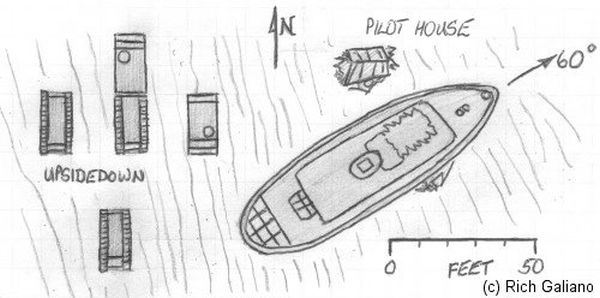
The Sea Girt reef is located atop an underwater ridge known as the "Klondike". This is an area of clean sandy bottom and usually has relatively good visibility. Fish life abounds on all sites in this reef, although lobstering is slim. There are many more Army tanks than shown here, as well as quite a bit of concrete rubble scattered throughout the reef. The Sea Girt Reef is one of the oldest artificial reef sites in New Jersey. Reef-building activities at this site date back to 1937. Minimum clearance at mean low water is 50 feet.
If you look at the state's official record, linked above, the four older sites that are outside the official reef boundaries are not listed.
- Type:
- various types of Army tanks and other vehicles, 15 in all
- Sponsor:
- Friends of Clifford Lipke, NJ National Guard
- Sunk:
- 1998 - Sea Girt Artificial Reef
- GPS:
- 40°07.608' -73°56.650'
More: Tanks / Clifford Lipke Reef ...
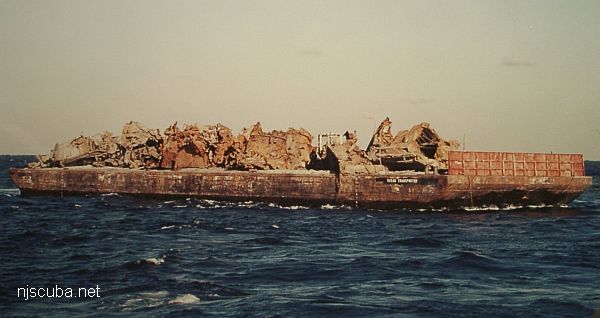
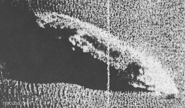
- Type:
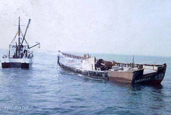
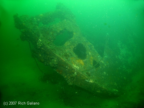
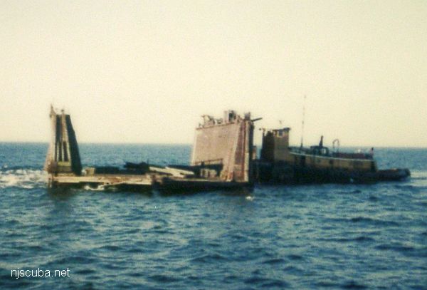
- artificial reef, barges, tugboat
- Specs:
- ( huge junk pile )
- Sunk:
- Sunday December 23, 2012 - Sea Girt Artificial Reef
- GPS:
- 40°08.203' -73°55.779'
- Depth:
- 80 ft
More: Horseshoe Wrecks ...
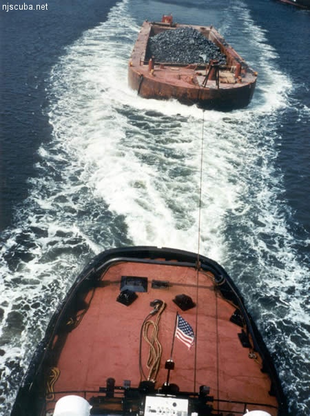
All manner of concrete, steel, and stone rubble from dredging, demolition projects, and other construction is used as artificial reef materials. This material is generally available at very low cost or free from construction companies who are more than happy to get rid of it. Transportation costs determine where this material is used by the Reef Program.
More: Rock & Rubble ...
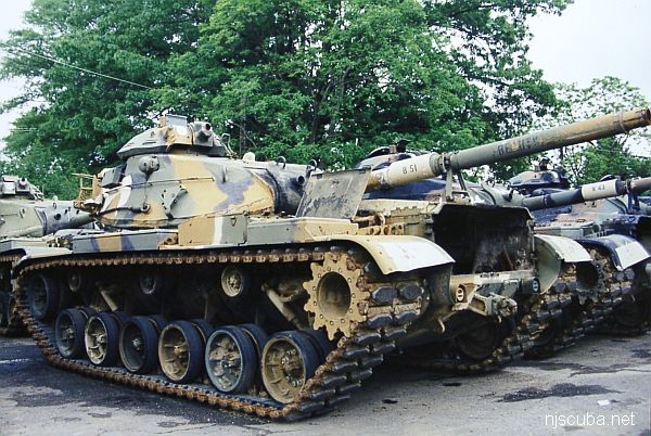
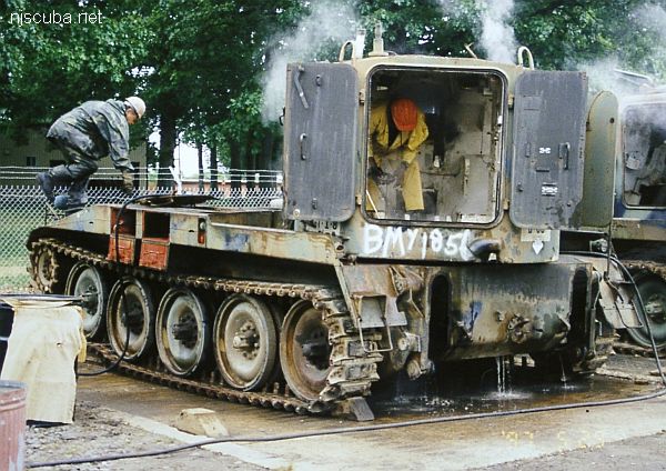
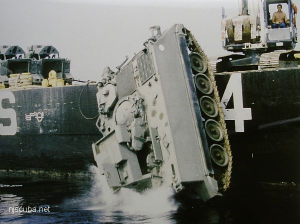
The Artificial Reef Program used four types of obsolete Army armored vehicles as artificial reef materials off the New Jersey coast. These were cleaned at local military bases, loaded onto barges for transport, and pushed off at their final destination. Once the Army had disposed of its excess inventory, the program ceased, around 1999. The Artificial Reef Program has sunk almost 400 tanks altogether, far too many to list them here in this website.
More: Army Tanks ...
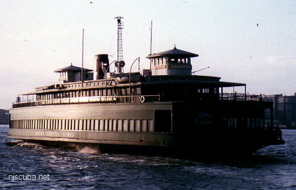
- Type:
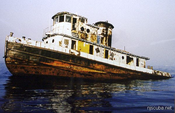
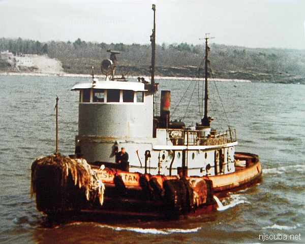
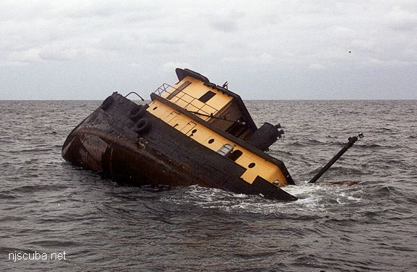
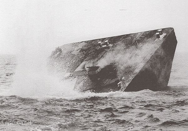
- artificial reef, tugboat, USA
- Built:
- 1957, Calumet Shipyard & Drydock, Chicago IL USA
- Specs:
- ( 85 x 23 ft )
- Sponsor:
- Spentonbush Red Star Company
- Sunk:
- Friday January 31, 1986 - Sea Girt Artificial Reef
- GPS:
- 40°06.158' -73°57.198'
- Depth:
- 70 ft
More: Spartan ...
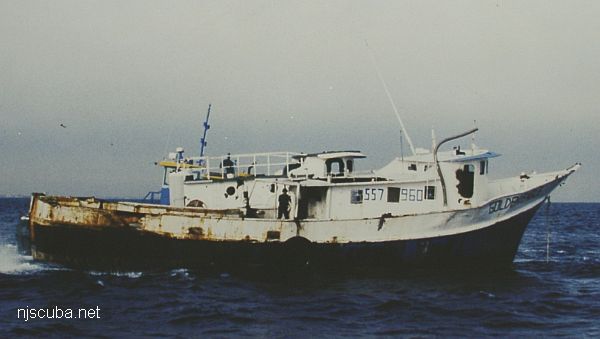
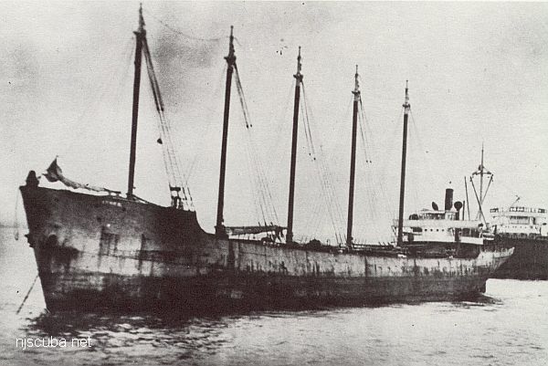
- Type:
- artificial reef, trawler
- Built:
- 1974, S & R Boat Builders, Bayou La Batre AL, as Brenda Jean
- Specs:
- ( 80 x 23 ft ) 114 gross tons
- Sponsor:
- Eagle Pharo Memorial
- Sunk:
- Friday December 19, 1997 - Sea Girt Artificial Reef
- GPS:
- 40°08.190' -73°56.100'
More: Golden Eagle ...