McAllister Artificial Reef
McAllister Artificial Reef
2.8 nautical miles south of Long Beach, 0.67 sq miles
Depth: 50 - 53 ft

Details:
McAllister Reef is built on the location of the 1959 McAllister Grounds reef. The original materials have mostly disappeared. Also known as the Fishing Line reef.
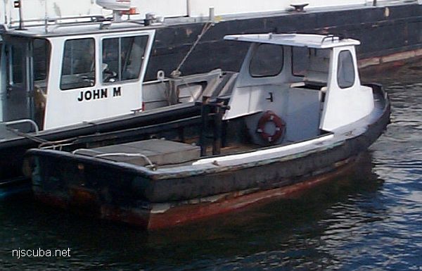
- 28 foot steel workboat sunk Sept 28, 2000.
- Type:
- artificial reef, work boat, USACE
- Built:
- Specs:
- ( 27 ft )
- Sunk:
- 2004 - McAllister Artificial Reef
- Depth:
- GPS:
- 40°32.141' -73°39.595'
More: Evan Miller ...
- Type:
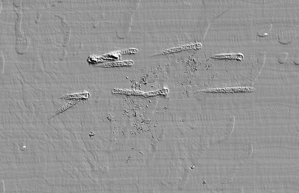
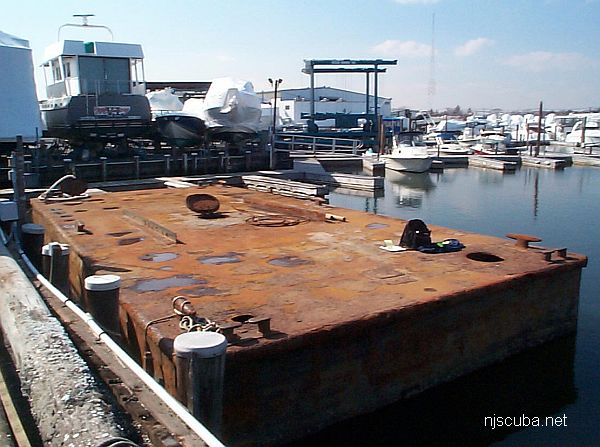
- artificial reef, barges
- Depth:
- 50- 53 ft
| Name | Description | Sunk | GPS |
| 60 ft steel | Tuesday (?) Sept 28, 1999 |
40°32.120′ -73°39.605′ |
|
| 40 ft steel dredge |
Thursday Sept 28, 2000 |
40°32.048′ -73°39.326′ |
|
| 40 ft steel dredge |
Thursday Sept 28, 2000 |
40°32.015′ -73°39.295′ |
|
| 37 ft steel crane |
2003 | 40°32.162' -73°39.481' |
More: barges - McAllister Artificial Reef ...
- Type:
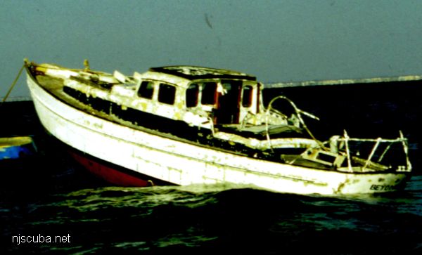
- artificial reef, sailboat, USA
- built:
- Specs:
- ( 43 ft )
- Sunk:
- Monday Nov 20, 2000 - McAllister Artificial Reef
- Depth:
- GPS:
- 40°32.147' -73°39.354'
More: Beyond ...
- Type:
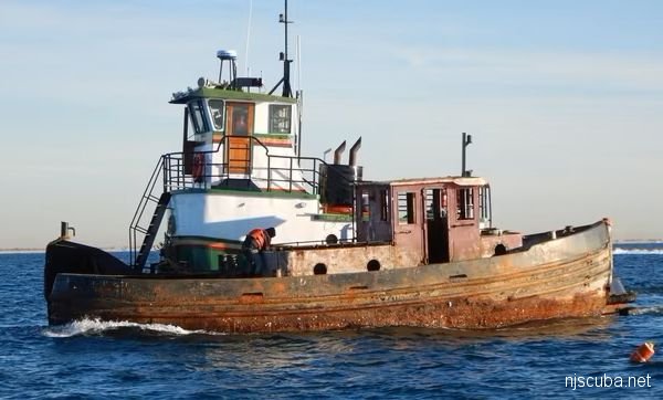
- artificial reef, tugboat, USA
- Built:
- 1944, Port Houston Iron Works, Houston TX USA as ST-555
- Specs:
- ( 45 x 13 ft ) 20 gross tons
- Sunk:
- Tuesday Dec 21, 2021 - McAllister Artificial Reef
- Depth:
- GPS:
- 40°32.093' -73°39.209'
More: Chickadee ST-555 ...
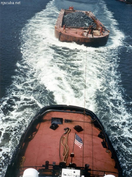
All manner of concrete, steel, and stone rubble from dredging, demolition projects, and other construction is used as artificial reef materials. This material is generally available at very low cost or free from construction companies who are more than happy to get rid of it. Transportation costs determine where this material is used by the Reef Program.
More: Rock & Rubble ...