Montauk Inlet
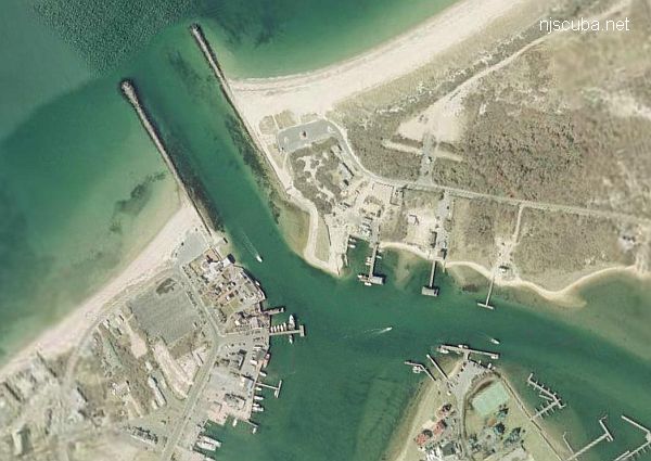
MONTAUK TWIN JETTIES

The twin jetties at Montauk are truly one of the best beach dives on Long Island. Both east and west jetties are easily accessible and both are thriving with all types of marine life.
reprinted from Long Island Shore Diver by Dan Berg
DIRECTIONS:
( Montauk, Suffolk County )
WEST JETTY:
Take Southern State Parkway to Exit 44 East, Sunrise Highway. Stay on Sunrise to Montauk Highway and continue east into the town of Montauk. Turn left onto Edgemere Street and drive north to the end. It will have merged into West Lake Drive.
EAST JETTY:
Take Southern State Parkway to Exit 44 East, Sunrise Highway. Stay on Sunrise to Montauk Highway and continue east past the town of Montauk. Continue on Montauk Highway to East Lake Drive. Drive north on East Lake to the end.
CONDITIONS:
The twin Jetties at Montauk are truly one of the best beach dive sites on Long Island. Both East and West Jetties are easily accessible, and both are popular with local divers. Divers will find all types of marine life thriving in and around the large stones. These stones act as a fish haven and provide a solid home on the otherwise empty sand bottom.
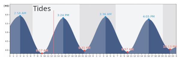
Depth of water ranges from five to 25 feet at high tide. According to most local divers with whom I have talked, either the west side of the West Jetty, or out by the point of the West Jetty are the best potential hunting grounds for spearfishing. The East Jetty seems to be the better site for lobstering.
I have also had excellent reports from night divers who never seem to stop raving about the abundance and variety of marine life they have observed at the Montauk Twin Jetties.

Questions or Inquiries?
Just want to say Hello? Sign the .