Round Valley
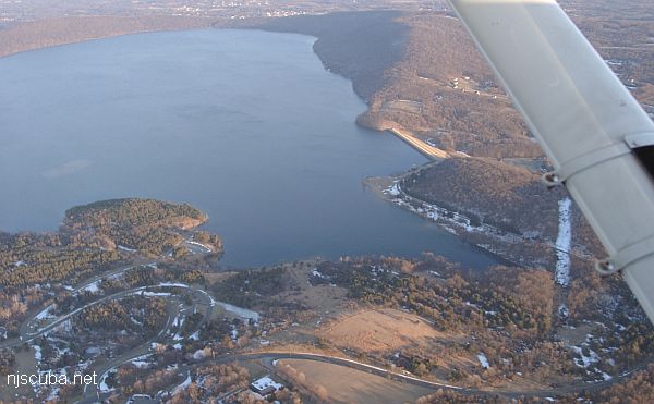
- Type:
- freshwater artificial reservoir
- Depth:
180 ft , but less than 60 ft in the usual area
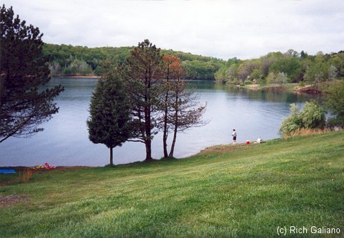
The visibility here is usually good, although the silty bottom stirs up at the slightest touch. The usual diving area has a maximum depth of about 60 ft, although in other spots the reservoir is much deeper. Entry is a short hike down a grassy slope to a pebble beach. There is an underwater training platform, and often you will find an O/W class there. Water temps get up into the high '70s later in the season, although it is chilly below the 30 ft thermocline.
Round Valley usually has good diving conditions even after a rain, when most other places will be completely silted out. This is because there is practically no natural drainage into the basin. Instead, it is filled ( expensively ) by pumping water up from the Raritan River. Because of the expense of filling the Round Valley reservoir, it is drawn down only in emergencies, when the nearby Spruce Run reservoir ( which fills naturally ) is almost empty. Thus the water level in Round Valley is consistently high, and the clarity is exceptional.
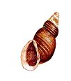
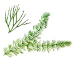
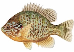
Unfortunately, compared to the ocean, Round Valley is a relatively dull dive. Mud, rocks, snails, and a few fish can be found, as well as huge stands of water plants later in the season. The sunfish are amazingly tame and will follow you around wherever you go. The bottom is littered with fishing lures, and sometimes you can find bottles tossed in by fishermen. There is little boat traffic, although the rangers patrol the lake diligently.
Regulations:
- All divers are required to register at the office, have a dive buddy, inflatable vest and a dive flag.
- Diving is permitted from April 1 through October 31 depending upon water conditions.
- Scuba divers must be certified.
- Divers are required to check-in prior to a dive, check-out after each dive and comply with diving hours.
- In April, May and October Scuba and Skin Diving hours are 10 a.m. to 2 p.m., and from Memorial Day to September 30, the hours are 8 a.m. to 4 p.m.
Source:
https://nj.gov/dep/parksandforests/parks/roundvalleyrecreationarea.html

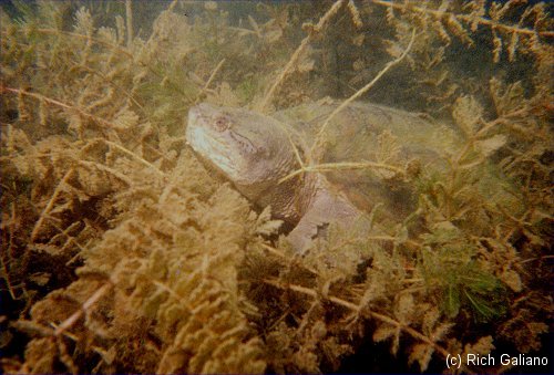
This is about as interesting as it gets in most of the reservoir.
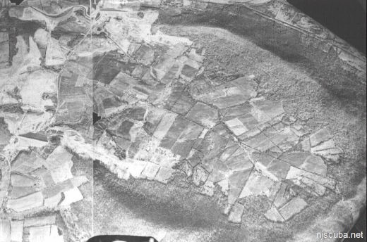
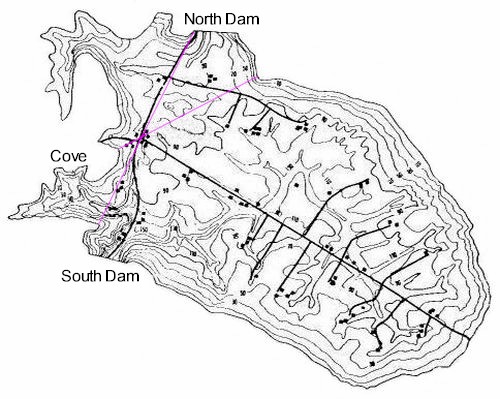
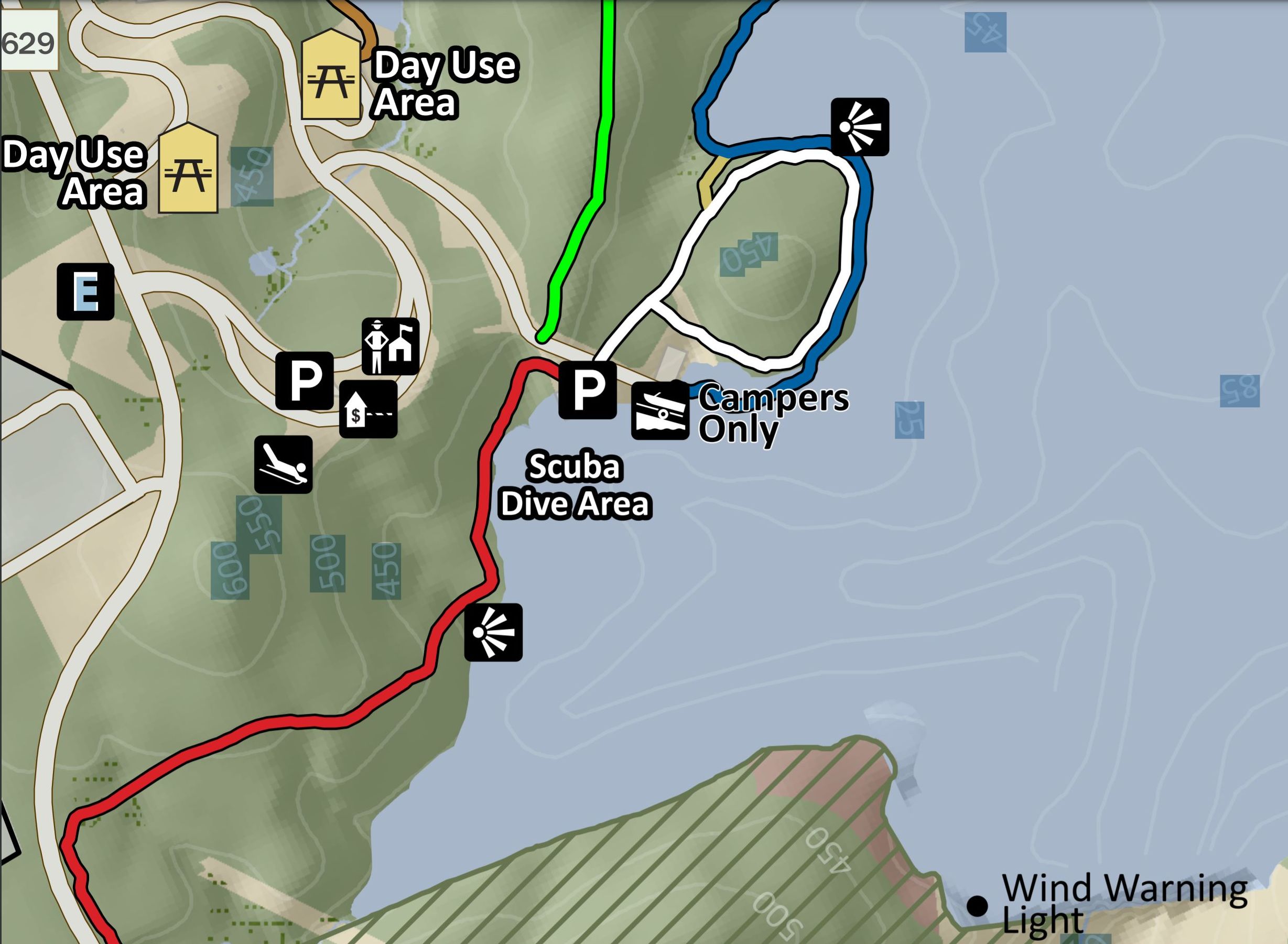
This cluster of buildings is the shallowest and closest to shore, at a depth of 40-50 feet. The map shows the original roads and other structures - silos, homes, school, church, post office, and barns. The buildings were razed before the reservoir was filled, so there is nothing left but concrete foundations - not terribly exciting, but better than the barren silt in the rest of the reservoir. The dirt roads would be unrecognizable now.
It should be relatively easy to find this spot using landmarks on the surface. To do this as a shore dive, swim out 200-300 yards and drop a weighted descent line from a flag when you have everything lined up. With a boat, GPS coordinates 40°37'19"N -74°50'27"W should put you in the vicinity. The depth, distance from shore, and even the shape of the shoreline will vary with the water level of the reservoir.
The Round Valley Reservoir in Clinton Township in Hunterdon County, New Jersey, United States, was formed in 1960 when the New Jersey Water Authority constructed two large dams and flooded a large valley. The reservoir is named after the naturally formed circular valley surrounded by Cushetunk Mountain. The deep valley was caused by erosion of the soft sedimentary rock. The surrounding ridges of Cushetunk Mountain endure because they were underlaid with dense and durable volcanic rock diabase that cooled slowly under the surface of the earth.
Reaching depths of 180 feet, this 2,350 acres reservoir is best known for its pristine clear blue waters. The reservoir contains 55 billion US gallons of water for use in central New Jersey, making it the largest in the state. Its water is distributed during times of drought via the nearby south branch of the Raritan River. The New Jersey Division of Wildlife ( a department of the New Jersey Department of Environmental Protection ) claims the reservoir is the southernmost body of water that contains naturally reproducing lake trout. Some of the other species of fish in the lake include bass, pickerel, catfish, american eel, yellow perch, brown trout, and rainbow trout. The park also has a wilderness area for camping, swimming, and SCUBA diving facilities, a boat ramp, and nature hiking and biking trails.
from Wikipedia
Thanks to diver Carl Blanchard for details of the village.
https://nj.gov/dep/parksandforests/parks/roundvalleyrecreationarea.html

Questions or Inquiries?
Just want to say Hello? Sign the .