Ranger

Ranger
Type:
shipwreck, steamer
Depth:
85 ft
compass

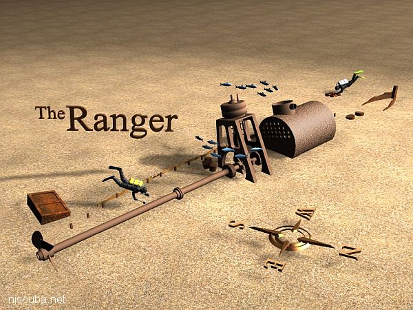
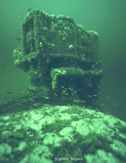
The "Ranger" is the wreck of a small nineteenth-century steamer. The entire small wreck is perhaps 100 ft in length, from the low remains of the copper-sheathed wooden bow to the broken propeller. The boiler and engine are remarkably large for such a small wreck, but the absence of towing bits, or indeed any kind of heavy machinery, makes it unlikely that this was a tugboat. An enormous low-pressure boiler feeding a rather primitive single-expansion engine places the building of the Ranger in the same period as the very similar Brunette, 1850-1870.

Shipwreck Ranger
The stem of the bow remains, with some copper sheathing.
Shipwreck Ranger
The boiler dominates the wreck
Shipwreck Ranger
The crooked single-cylinder engine is an almost art-deco design
Shipwreck Ranger
Shipwreck Ranger
A diver hunts near the shaft just behind the engine
Shipwreck Ranger
A large iron box off to the side, probably a steam condenser
Shipwreck Ranger
The propeller, half-buried, with the upper blade broken off

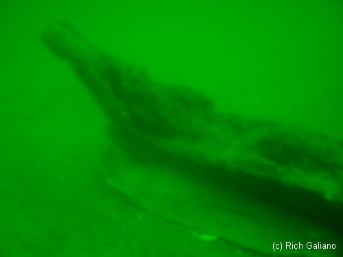
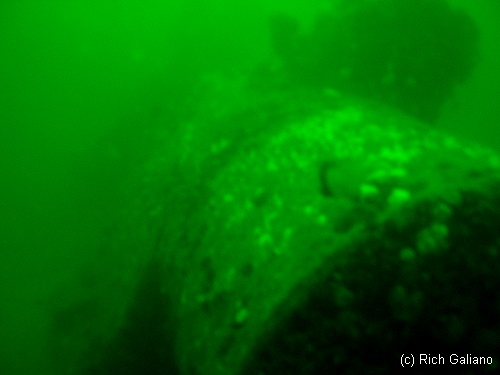
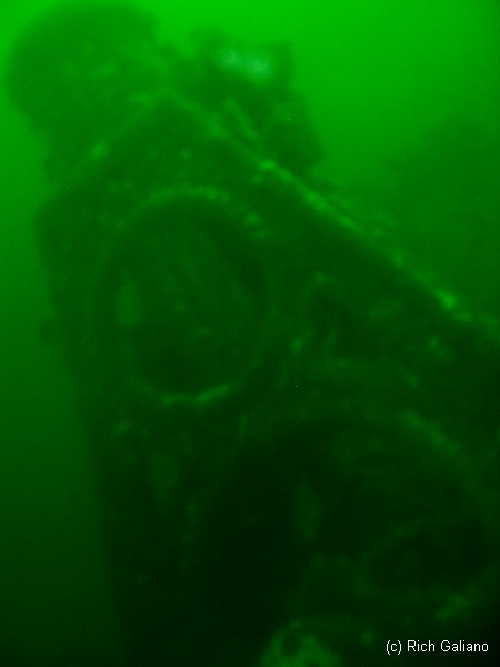
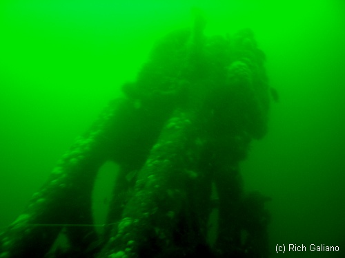
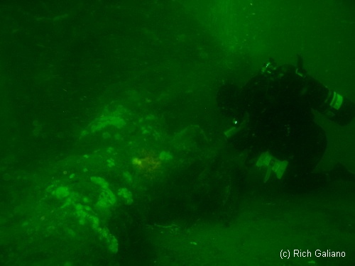
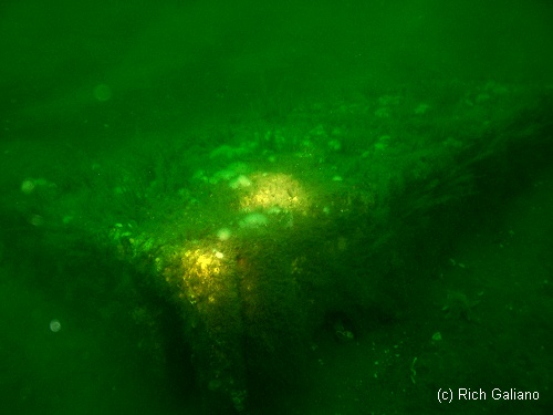
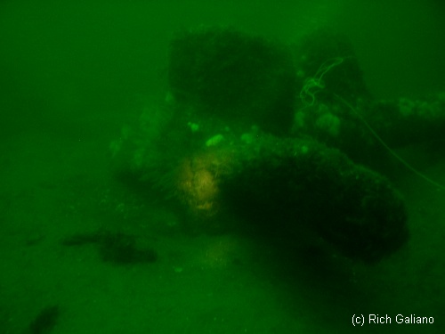
This is a very picturesque wreck and makes a nice photo subject on a good day ( it is also known as the "Photographer". ) the engine is a very interesting piece, and is covered with anemones and other sea life. This wreck also produces fine mussels from the higher parts. There is usually a lobster around somewhere as well.

Drawing courtesy of Aaron Hirsh


Comments on Ranger

Questions or Inquiries?

Just want to say Hello? Sign the .

Submit a Comment

Your email address will not be published. Required fields are marked *


Click image to replace if unable to read.

Enter the digits from the image above, except for the last one:

This site uses Akismet to reduce spam. Learn how your comment data is processed.


Red Oak WLM-689 reef
Sister ship Red Birch
Type:
artificial reef, buoy tender / ice breaker, US Coast Guard
Built:
1971, US Coast Guard Yard, Baltimore MD
Specs:
( 157 x 33 ft )
Depth:
65 ft
Sponsor:
USCG, Dick Weber & South Jersey Fishing Center
Sunk:
Monday September 13, 1999 - Cape May Artificial Reef
GPS:
38°53.125' -74°40.816'

Printed from njscuba.net