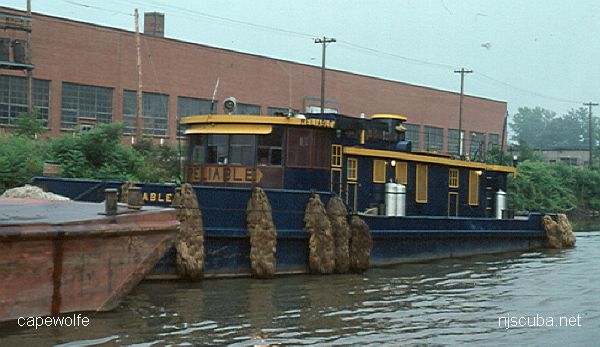
Reliable
- Type:
- artificial reef, tugboat, USA
- Built:
- 1930s, Syracuse NY USA
- Specs:
- ( 74 ft )
- Sunk:
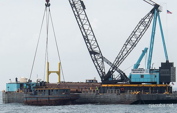
- Thursday May 31, 2018 - Shinnecock Artificial Reef
- Depth:
- GPS:
- 40°48.064' -72°28.651'
A Fitting Assignment for a Reliable Tug
To the editor, Times Union
May 31, 2018
Regarding the May 23 column by Paul Grondahl, "Canal fans not ready to give up the ships," it should be noted that the New York State Canal Corp. and its parent agency, the New York Power Authority, are extremely proud of the canals' heritage, including our tugboat fleet. They help define what makes the state canal system special and we will always remain mindful of their legacy.
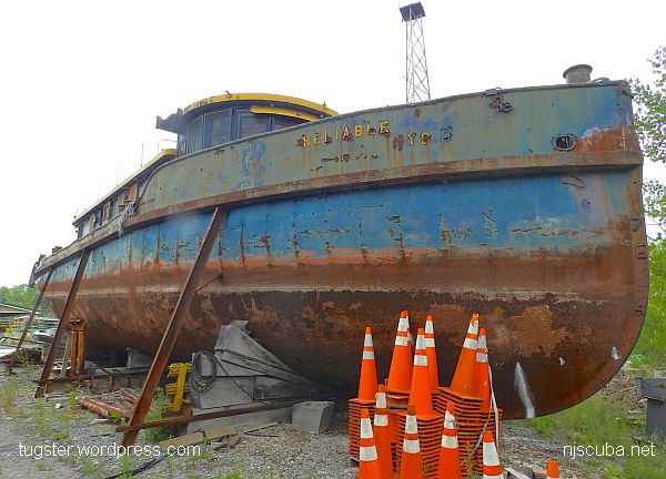
Deploying the tug Reliable for Gov. Andrew Cuomo's program to create artificial reefs off Long Island was a carefully considered decision, made in consultation with many stakeholders, including the State Historic Preservation Office, the Canal Society of New York State, and the Erie Canalway National Heritage Corridor. Each decommissioned vessel selected for the reef was reviewed in the same way. The Reliable has been sitting unused and deteriorating on land for the better part of 15 years. True to its name, it was a reliable workhorse on the canals for many decades. It's fitting, then, that the tug can serve our great state one more time, to create a reef that will support marine life, improve local fisheries and offer new opportunities for scuba diving.
We have said goodbye to the Reliable, but we can also say thank you, for a job extremely well done.
Brian U. Stratton
Albany
Director, New York State Canal Corp.

233685

Questions or Inquiries?
Just want to say Hello? Sign the .