Coast Guard Artificial Reefs
The United States Coast Guard has donated a number of vessels as artificial reefs over the years. They seem to be sensitive about having their vessels shown in a "bad" way, and typically paint out all the markings before turning them over.
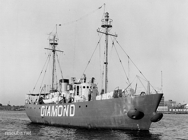
- Type:
- artificial reef, lightship, USA
- Name:
- Named for the harbor that it served as marker for during its long active career.
- Built:
- 1946, Devoe Shipbuilding, Bay City MI USA
- Specs:
- ( 128 x 30 ft ) 630 tons
- Sponsor:
- Atlantic County, Trump Casino, Atlantic City Seafood Festival, Artificial Reef Association, Atlantic County Party & Charter Boat Association
- Sunk:
- Friday January 28, 1994 - Atlantic City Artificial Reef
- GPS:
- 39°15.444' -74°14.004'
- Depth:
- 85 ft
More: Boston Lightship WLV-189 ...
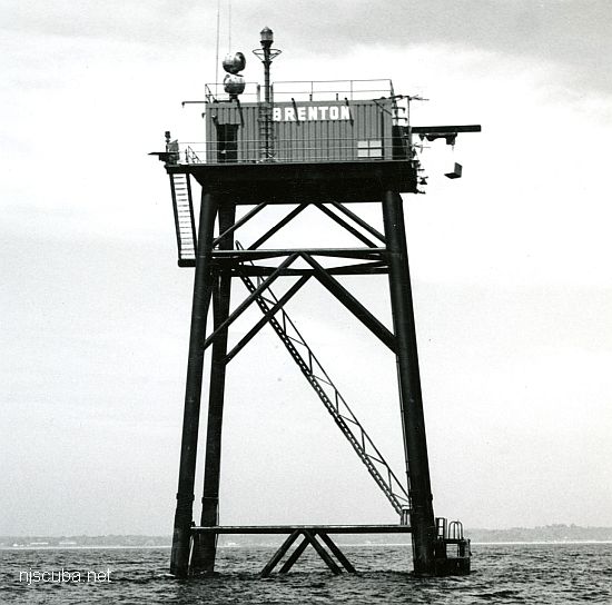
- Type:
- artificial reef, light tower, USA
- built:
- 1962, US Coast Guard
- Specs:
- 87 ft tall
- Sunk:
- Friday January 8, 1993 - Shinnecock Artificial Reef
- Depth:
- GPS:
- 40°48.139' -72°28.526'
More: Brenton Reef Lighthouse ...
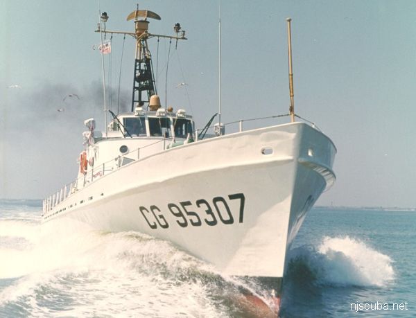
- Type:
- artificial reef, cutter, US Coast Guard
- Built:
- 1953, US Coast Guard Yard, Baltimore MD USA
- Specs:
- ( 95 x 20 ft )
- Sponsor:
- USCG, New Jersey State Police
- Sunk:
- Thursday September 9, 1993 - Cape May Artificial Reef
- GPS:
- 38°51.060' -74°42.125'
- Depth:
- 65 ft
More: Cape Straight WPB-95308 ...
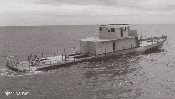
- Type:
- artificial reef, cutter, US Coast Guard
- Specs:
- ( 120 x 22 ft )
- Sponsor:
- The Dr Tom Natoli family
- Sunk:
- Thursday September 20, 2001 - Cape May Artificial Reef
- GPS:
- 38°51.810' -74°40.590'
More: Heritage Hull / Dr Tom's ...
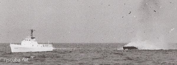
- Type:
- artificial reef, buoy tender
- Built:
- 1969
- Specs:
- ( 46' x 16' )
- Sponsor:
- USCG, New Jersey State Police
- Sunk:
- Thursday September 9, 1993 - Cape May Artificial Reef
- GPS:
- 38°51.106' -74°42.170'
More: Johnny Buoy BUSL ...
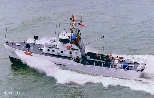
- Type:
- artificial reef, cutter, US Coast Guard
- Built:
- 1961, US Coast Guard Yard, Baltimore MD USA
- Specs:
- ( 83 x 17 ft )
- Sponsor:
- Cape May County Party & Charter Boat Association
- Sunk:
- Thursday March 30, 2000 - Cape May Artificial Reef
- GPS:
- 38°51.620' -74°40.600'
More: Point Swift WPB-82312 ...
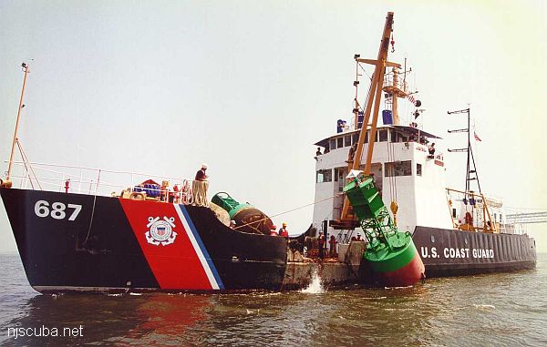
- Type:
- artificial reef, buoy tender / ice breaker, US Coast Guard
- Built:
- 1971, US Coast Guard Yard, Baltimore MD
- Specs:
- ( 157 x 33 ft )
- Depth:
- 65 ft
- Sponsor:
- USCG, Dick Weber & South Jersey Fishing Center
- Sunk:
- Monday September 13, 1999 - Cape May Artificial Reef
- GPS:
- 38°53.125' -74°40.816'
More: Red Oak WLM-689 ...
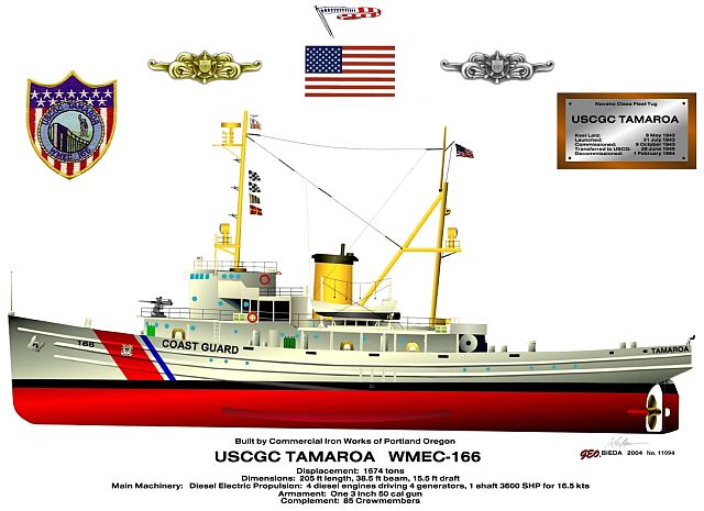
- Type:
- artificial reef, fleet tugboat, cutter
- Built:
- 1943, Commercial Iron Works, Portland, OR, as USS Zuni AT-95
- Specs:
- ( 205 x 38 ft ) 1,235 tons (light)
- Sunk:
- Wednesday, May 10, 2017 - DelJerseyLand Artificial Reef
- GPS:
- 38°31.144' -74°30.747'
- Depth:
- 125 ft
More: Tamaroa WMEC-166 ...
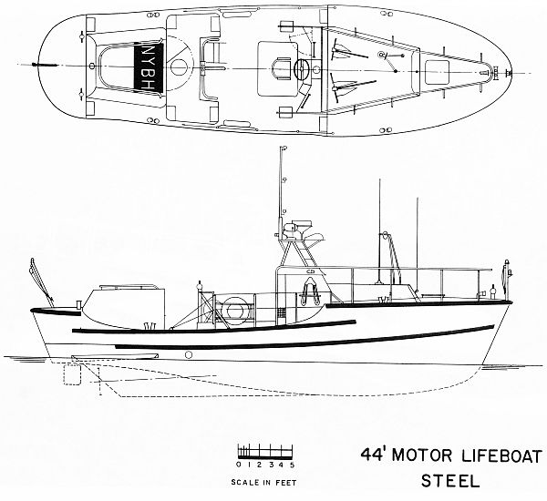
- Type:
- artificial reef, MLB-44 patrol boats ( 2 ), US Coast Guard
- Built:
- 1963, Curtis Bay MD USA
- Specs:
- ( 44 x 12 ft ) 20 tons
- Sponsor:
- Ocean Wreck Divers (USCG 44333)
VHFC - Village Harbor Fishing Club, GDF (USCG 44322) - Depth:
- OWD - 60 ft
VHFC - 80 ft - Sunk:
- OWD - Tuesday July 11, 1995
VHFC - Tuesday May 16, 1995 - Garden State South Artificial Reef - GPS - OWD:
- 39°33.426' -74°05.973'
- GPS - VHFC:
- 39°33.496' -74°05.991'
More: VHFC / OWD I ...
The United States Coast Guard is this nation's oldest and premier maritime agency. The history of the Service is very complicated because it is the amalgamation of five Federal agencies. These agencies, the Revenue Cutter Service, the Lighthouse Service, the Steamboat Inspection Service, the Bureau of Navigation, and the Lifesaving Service, were originally independent, but had overlapping authorities and were Shuffled around the government. They sometimes received new names, and they were all finally united under the umbrella of the Coast Guard. The multiple missions and responsibilities of the modern service are directly tied to this diverse heritage and the magnificent achievements of all of these agencies.
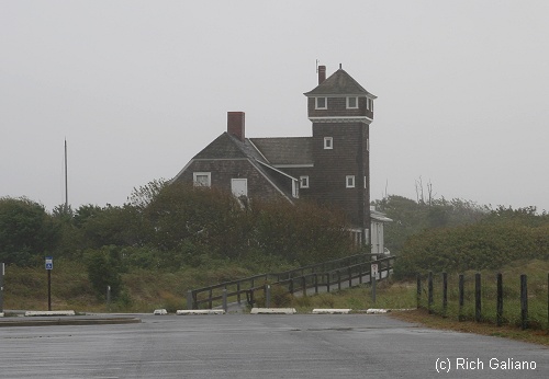
More: United States Coast Guard 1 ...
USCG - Historical Overview
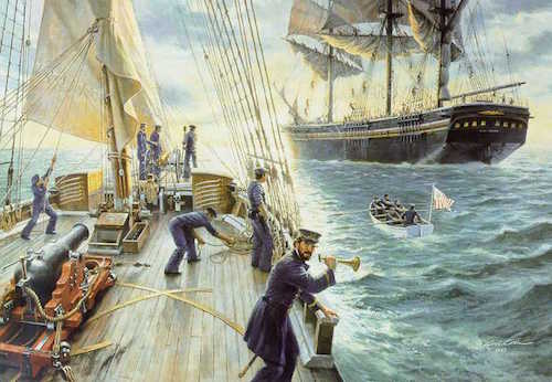
More: United States Coast Guard 2 ...
Aids to Navigation
The US Coast Guard maintains a number of aids to navigation to assist vessels entering and leaving ports, both great ports like New York and Philadelphia, and minor ports like Shark River and Montauk. At sea, these aids take the form of buoys that mark out channels and shipping lanes.
Shipping lanes are like divided highways at sea. Inbound and outbound lanes are separated by a wide "Separation Zone, " which may or may not be depicted on the charts in this website, depending on the scale. Ships "drive on the right" just like cars in civilized countries. At the inbound end where all the lanes converge into the harbor channel, things get messy, and I didn't try to depict it. Likewise, the outer ends of the lanes are not exact either.
More: United States Coast Guard 3 ...


