Barnacles
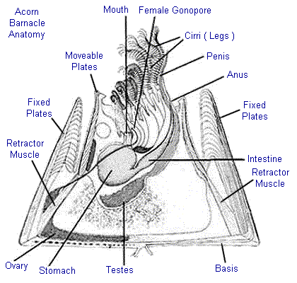
Barnacles are the strangest of crustaceans. Imagine a tiny shrimp glued down by the top of its head, with its antennae waving in the current, and you begin to understand what a barnacle really is.
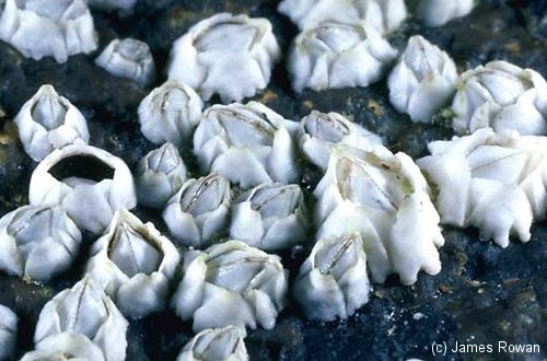
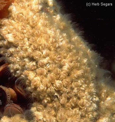
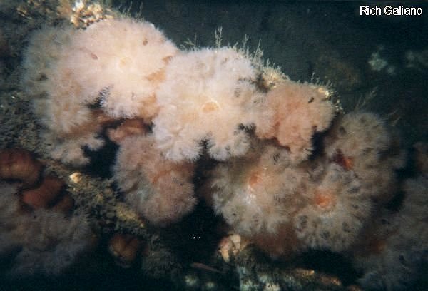
Northern Rock Barnacles ( Balanus balanoides, to 1" ) grow in the intertidal zone, subtidal in places, attached to any hard surface. They are in constant competition for living space with mussels. Mussels grow faster but are more susceptible to drying out. Therefore, mussels quickly take over the lower wetter areas, while barnacles rule in the higher dryer reaches.
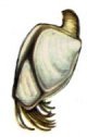
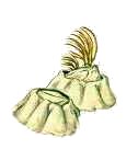
Gooseneck Barnacles are far less common - you might find them attached to the bottom of the dive boat towards the end of the season when the bottom paint is losing its potency. They are usually found on drifting flotsam offshore, or in deep water on the bottom.
Unlike typical "acorn" barnacles, Gooseneck Barnacles have a fleshy stalk by which they attach themselves. Several species range in size from 1" to 6". They are actually rather attractive creatures in life, often with purple or orange highlights.

All these are animals that, in a sense, occupy the physical niche of the plants which are missing from the deeper parts of the marine environment. All are filter-feeders, straining plankton from the surrounding waters.
More: Plant-like Animals ...
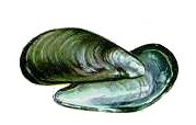
Mussels are found everywhere, attached to any solid substrate. Mussels are to the sea what grass is to suburbia. Mussels lack the muscular foot of clams or the large hinge muscle of scallops. Instead, they have a "beard" of tough fibers near the hinge with which they attach themselves.
The Blue Mussel Mytilus edulis, to 4" is the edible mussel. The similar Horse Mussel Modiolus modiolus grows to 6", and is considered inedible. Both types are found from the intertidal zone down to the depths. See entry on barnacles.
More: Mussels ...